Chest opened
+${chestReward.xp} XP
Explorer
NOUVEAU ×${chestReward.collectible.quantity}
tapez pour fermer

See the monuments around you in AR Open chests in the app

Around Us is built for your phone — point your camera at the streets and discover the monuments and places around you in augmented reality. Around Us is built for your phone — chests unlock when you walk, explore and capture nearby places.

•

Enable Location

We need your location to show you interesting places around you

Discover nearby places

Find interesting locations and hidden gems around you

Precise directions

Get accurate directions and distances to places

Your location is never shared with other users. It's only used when you tap the location button.

Minnehaha Park

Log in to your account

Start exploring — it's free

Trusted by 92,550 travelers worldwide

Continue with Google
Continue with Apple
or

We will send you a code to connect

By continuing, you accept our Terms and Conditions and our Privacy Policy

Check your inbox

We've sent a pincode in your inbox. Please enter the code below.

Minnehaha Park, Urban park in Minneapolis, United States

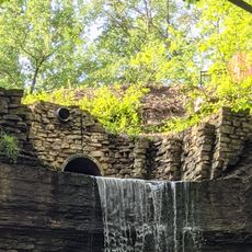
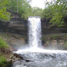
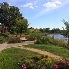
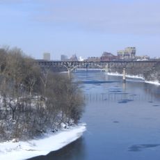
Minnehaha Park is an urban park along the Mississippi River in Minneapolis, featuring a 53-foot waterfall and several gardens. Walking trails wind through wooded areas and along the river, while picnic grounds and bike paths connect different sections of the site.

Minnehaha Park was designed by landscape architect Horace W.S. Cleveland in 1883 as part of the Grand Rounds Scenic Byway. In the 1800s it was a stop on the steamboat "Fashionable Tour" of the upper Mississippi, promoted by the painter George Catlin after his 1835 visit. The park was listed on the National Register of Historic Places in 1969 as the Minnehaha Historic District.

The name Minnehaha comes from the Dakota words mni ('water') and ȟaȟa ('curling'). Since 1934, Swedes have held Svenskarnas Dag in the park each June, and a bandstand hosts free summer concerts.

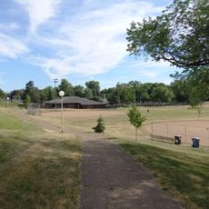
The 167-acre park is split in two: an upper section of open lawns above the falls and a lower 54-acre glen left largely in its natural state, where the creek runs three-quarters of a mile to the Mississippi. Off-street trails, including the former Milwaukee Road right-of-way, lead to Fort Snelling State Park; bikes can be rented and there is an off-leash dog area. Picnic sites and shelters are reservable, and the falls freeze in winter.

The park once had a zoo: a Shetland pony concession began in 1893, and by 1899 a bear pit and an alligator tank had been added. Superintendent Theodore Wirth had the zoo removed after 1906, but a deer and elk enclosure stayed until 1923, and the spot is still called "the deer pen".

The community of curious travelers

AroundUs brings together thousands of curated places, local tips, and hidden gems, enriched daily by 92,550 contributors worldwide.

Start exploring
Location
GPS coordinates
44.91954,-93.20828
Latest update
October 24, 2026 09:31
Around this place
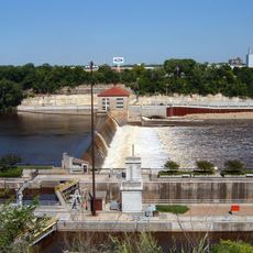
Lock and Dam No. 1
United States of America

Lock and Dam No. 1

0.4 mi
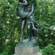
Hiawatha and Minnehaha
United States of America

Hiawatha and Minnehaha

0.3 mi
Eastcliff
United States of America

Eastcliff

1.9 mi
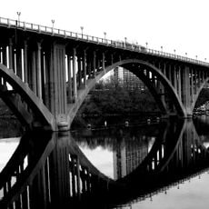
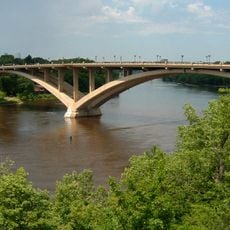
Intercity Bridge
United States of America

Intercity Bridge

0.4 mi
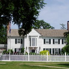
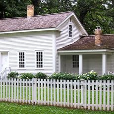
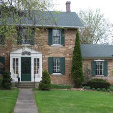
John Harrington Stevens House
United States of America

John Harrington Stevens House

0.4 mi
Lake Street-Marshall Bridge
United States of America

Lake Street-Marshall Bridge

2 mi
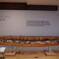
American Museum of Asmat Art
United States of America

American Museum of Asmat Art

1.8 mi
Minnesota Veterans Home
United States of America

Minnesota Veterans Home

0.5 mi
Hidden Falls
United States of America

Hidden Falls

1 mi
United States of America

Minnehaha Falls Lower Glen Trail

0.3 mi
Dr. Ward Beebe House
United States of America

Dr. Ward Beebe House

1.9 mi
Nokomis Library
United States of America

Nokomis Library

1 mi
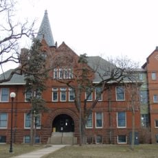
Derham Hall and Our Lady of Victory Chapel, College of Saint Catherine
United States of America

Derham Hall and Our Lady of Victory Chapel, College of Saint Catherine

1.2 mi
Roosevelt Library
United States of America

Roosevelt Library

1.4 mi
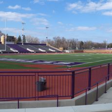
O'Shaughnessy Stadium
United States of America

O'Shaughnessy Stadium

1.9 mi
Lake Nokomis 50th Street Beach
United States of America

Lake Nokomis 50th Street Beach

1.4 mi
Frederick Spangenberg House
United States of America

Frederick Spangenberg House

1 mi
William and Catherine Davern Farm House
United States of America

William and Catherine Davern Farm House

2 mi
Minnehaha Falls
United States of America

Minnehaha Falls

0.3 mi
Longfellow House
United States of America

Longfellow House

0.4 mi
Mann Highland I & II
United States of America

Mann Highland I & II

1 mi
Lake Hiawatha Park
United States of America

Lake Hiawatha Park

1.3 mi
Lake Nokomis Park
United States of America

Lake Nokomis Park

1.8 mi
Longfellow Park
United States of America

Longfellow Park

1.5 mi
Keewaydin Park
United States of America

Keewaydin Park

1.2 mi
Bossen Field Park
United States of America

Bossen Field Park

1.7 mi
Mississippi Gorge Park
United States of America

Mississippi Gorge Park

1 mi
Sibley Park
United States of America

Sibley Park

2 mi
Show the full map
Reviews
Share your experience

No review yet

Discussions
Start a discussion...

No discussion yet

« Minnehaha Park - Urban park in Minneapolis, United States » is provided by Around Us (aroundus.com). Images and texts are derived from Wikimedia project under a Creative Commons license. You are allowed to copy, distribute, and modify copies of this page, under the conditions set by the license, as long as this note is clearly visible.

Discover hidden gems everywhere you go!

From secret cafés to breathtaking viewpoints, skip the crowded tourist spots and find places that match your style. Our app makes it easy with voice search, smart filtering, route optimization, and insider tips from travelers worldwide. Download now for the complete mobile experience.

Around Us App Screenshot
❝

A unique approach to discovering new places❞

— Le Figaro

❝

All the places worth exploring❞

— France Info

❝

A tailor-made excursion in just a few clicks❞

— 20 Minutes

Around Us
Travel Guide & Maps
Download

Send to your phone

QR Code
1

Open the camera app on your mobile.

2

Point at the QR code with your camera. A notification will appear.

3

Tap the notification to open the link.