Chest opened
+${chestReward.xp} XP
Explorer
NOUVEAU ×${chestReward.collectible.quantity}
tapez pour fermer
Chest locked

Open chests in the app

Around Us is built for your phone — chests unlock when you walk, explore and capture nearby places.

Enable Location

We need your location to show you interesting places around you

Discover nearby places

Find interesting locations and hidden gems around you

Precise directions

Get accurate directions and distances to places

Your location is never shared with other users. It's only used when you tap the location button.

Lock and Dam No. 7

Log in to your account

Start exploring — it's free

Trusted by 73,283 travelers worldwide

Continue with Google
Continue with Apple
or

We will send you a code to connect

By continuing, you accept our Terms and Conditions and our Privacy Policy

Check your inbox

We've sent a pincode in your inbox. Please enter the code below.

Lock and Dam No. 7
Discussion Reviews 1 Photos
4.4k Popularity

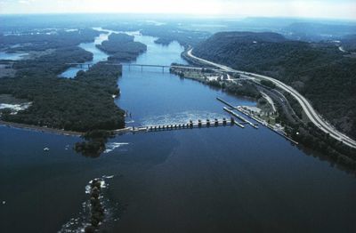
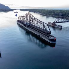
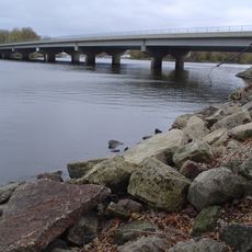
Lock and Dam No. 7, Navigation system on Mississippi River in Winona County and La Crosse County, United States.

Lock and Dam No. 7 is a navigation structure spanning the Mississippi River that allows vessels to pass through by raising or lowering water levels. The facility includes a lock chamber where boats enter to cross the water level difference created by the dam.

The United States Army Corps of Engineers built this structure from 1933 to 1937 as part of the Mississippi River navigation system. Major renovation work occurred from 1989 to 2002 to improve its operations.

The lock and dam system represents the engineering achievements that transformed the Mississippi River into a managed commercial waterway for regional development.

The structure can be viewed from accessible overlooks along the riverbank where visitors can watch vessels pass through. Plan your visit when water levels are active to see the locks in operation.

The structure contains five roller gates and eleven tainter gates that regulate water flow across Lake Onalaska, managing a catchment area of 62,340 square miles.

The community of curious travelers

AroundUs brings together thousands of curated places, local tips, and hidden gems, enriched daily by 60,000 contributors worldwide.

Start exploring
Location
Location
GPS coordinates
43.86690,-91.30720
Latest update
December 11, 2025 11:01
Around this place
Shrine of Our Lady of Guadalupe
United States of America

Shrine of Our Lady of Guadalupe

16.4 km
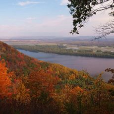
Great River Bluffs State Park
United States of America

Great River Bluffs State Park

11.5 km
I-90 Mississippi River Bridge
United States of America

I-90 Mississippi River Bridge

1.2 km
Mississippi River Bridge
United States of America

Mississippi River Bridge

7.5 km
St. Rose of Viterbo Convent
United States of America

St. Rose of Viterbo Convent

8.7 km
La Crosse Rail Bridge
United States of America

La Crosse Rail Bridge

5.5 km
Statue of Hiawatha
United States of America

Statue of Hiawatha

6.8 km
United States of America

Riverside Park

7.1 km
Freight House
United States of America

Freight House

7.2 km
La Crosse West Channel Bridge
United States of America

La Crosse West Channel Bridge

6 km
Mons Anderson House
United States of America

Mons Anderson House

7.9 km
Christ Episcopal Church
United States of America

Christ Episcopal Church

7.9 km
Gideon C. Hixon House
United States of America

Gideon C. Hixon House

7.5 km
Our Lady of Sorrows Chapel
United States of America

Our Lady of Sorrows Chapel

10 km
Bridge No. 4
United States of America

Bridge No. 4

17.4 km
La Crosse Commercial Historic District
United States of America

La Crosse Commercial Historic District

7.5 km
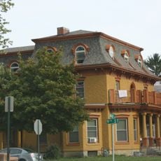
10th and Cass Streets Neighborhood Historic District
United States of America

10th and Cass Streets Neighborhood Historic District

8 km
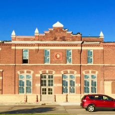
La Crosse Armory
United States of America

La Crosse Armory

9.8 km
Wittich Hall
United States of America

Wittich Hall

8.5 km
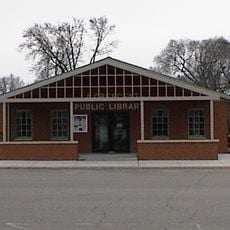
La Crescent Public Library
United States of America

La Crescent Public Library

4.2 km
Gund Brewing Company Bottling Works
United States of America

Gund Brewing Company Bottling Works

9.6 km
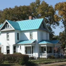
Frank Eugene Nichols House
United States of America

Frank Eugene Nichols House

6.1 km
John L. Callahan House
United States of America

John L. Callahan House

5.7 km
23rd and 24th Streets Historic District
United States of America

23rd and 24th Streets Historic District

9.1 km
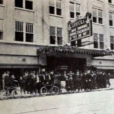
Rivoli Theatre
United States of America

Rivoli Theatre

7.5 km
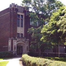
LaCrosse State Teachers College Training School Building
United States of America

LaCrosse State Teachers College Training School Building

8.5 km
Van Loon Wildlife Area
United States of America

Van Loon Wildlife Area

17.5 km
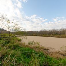
Lake Onalaska
United States of America

Lake Onalaska

0 m
Show the full map
Reviews
Share your experience

No review yet

Discussions
Start a discussion...

No discussion yet

« Lock and Dam No. 7 - Navigation system on Mississippi River in Winona County and La Crosse County, United States » is provided by Around Us (aroundus.com). Images and texts are derived from Wikimedia project under a Creative Commons license. You are allowed to copy, distribute, and modify copies of this page, under the conditions set by the license, as long as this note is clearly visible.

Discover hidden gems everywhere you go!

From secret cafés to breathtaking viewpoints, skip the crowded tourist spots and find places that match your style. Our app makes it easy with voice search, smart filtering, route optimization, and insider tips from travelers worldwide. Download now for the complete mobile experience.

Around Us App Screenshot

A unique approach to discovering new places

Le Figaro

All the places worth exploring

France Info

A tailor-made excursion in just a few clicks

20 Minutes

Around Us
Travel Guide & Maps
Download

Send to your phone

QR Code
1

Open the camera app on your mobile.

2

Point at the QR code with your camera. A notification will appear.

3

Tap the notification to open the link.