La Crosse County

Log in to your account

AroundUs is a community-driven map of interesting places, built by curious explorers like you. It grows with every review, story, and photo you share.
Connect to save your favorite spots, contribute locations, and create personalized routes.
Continue with Google
Continue with Apple
Continue with X
Continue with Facebook
Continue with email
By continuing, you accept our Terms and Conditions and our Privacy Policy
Create an account
Add to collection
Map
Suggest a change
Share

La Crosse County, Administrative division in Wisconsin, United States

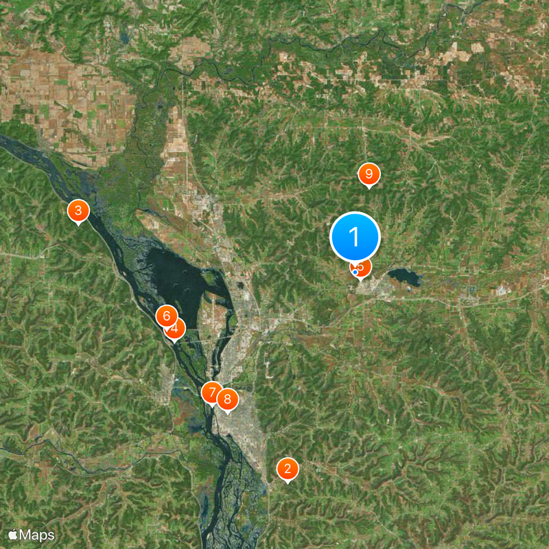
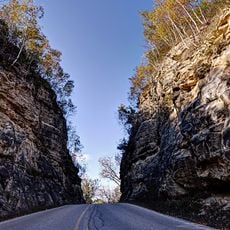
La Crosse County is an administrative region in Wisconsin covering roughly 124,300 hectares (307,000 acres), blending urban zones with natural landscapes along the Mississippi River border. The territory includes multiple towns and townships organized around a central government hub in the city of La Crosse.

The region became an official administrative division in 1851 during Wisconsin's period of statehood and territorial growth. This early organization established the boundaries and governance structure that define the area today.

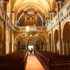
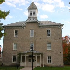
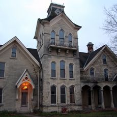
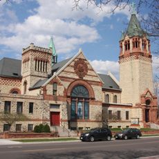
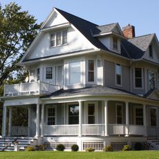
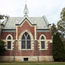
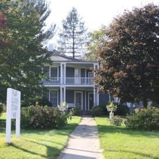
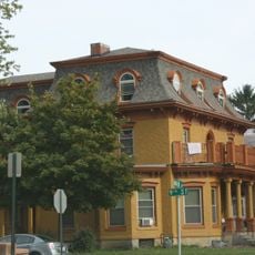
Local communities here maintain their identity through neighborhood celebrations, schools, and public gathering spaces that bring people together. These places reflect how residents connect with each other and their surroundings in everyday life.

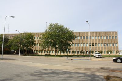
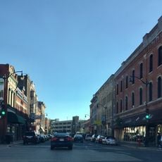
Visitors can find county services and information centered in the city of La Crosse, which serves as the administrative hub. From there, it's straightforward to explore the various towns, parks, and natural areas spread across the region.

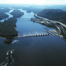
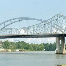
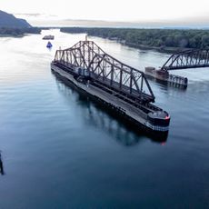
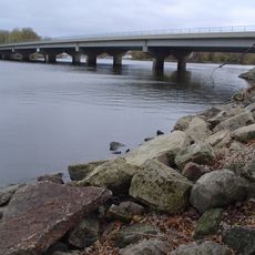
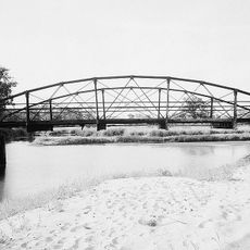
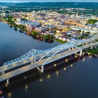
The county sits where three rivers meet, creating natural boundaries that shape its borders and character. This geographic position has influenced how the region developed and connected with neighboring areas for generations.

Location: Wisconsin

Inception: 1851

Capital city: La Crosse

Shares border with: Trempealeau County, Jackson County, Monroe County, Vernon County, Houston County, Winona County

Website: http://co.la-crosse.wi.us

GPS coordinates: 43.91000,-91.11000

Latest update: December 20, 2025 14:30

Photos
Around this place
Shrine of Our Lady of Guadalupe
United States of America

Shrine of Our Lady of Guadalupe

18.6 km
Great River Bluffs State Park
United States of America

Great River Bluffs State Park

23.6 km
I-90 Mississippi River Bridge
United States of America

I-90 Mississippi River Bridge

16.3 km
La Crosse Fairgrounds Speedway
United States of America

La Crosse Fairgrounds Speedway

782 m
Lock and Dam No. 7
United States of America

Lock and Dam No. 7

16.5 km
Mississippi River Bridge
United States of America

Mississippi River Bridge

16.4 km
St. Rose of Viterbo Convent
United States of America

St. Rose of Viterbo Convent

16 km
Mindoro Cut
United States of America

Mindoro Cut

7.2 km
La Crosse Rail Bridge
United States of America

La Crosse Rail Bridge

14.7 km
Gale College
United States of America

Gale College

27.9 km
Statue of Hiawatha
United States of America

Statue of Hiawatha

15.6 km
United States of America

Norskedalen

21.5 km
Hamlin Garland House
United States of America

Hamlin Garland House

2.6 km
Freight House
United States of America

Freight House

15.6 km
United States of America

Coulee Experimental State Forest

8.9 km
La Crosse West Channel Bridge
United States of America

La Crosse West Channel Bridge

16.6 km
Mons Anderson House
United States of America

Mons Anderson House

16 km
Christ Episcopal Church
United States of America

Christ Episcopal Church

15.4 km
Gideon C. Hixon House
United States of America

Gideon C. Hixon House

15.2 km
Tollef Jensen House
United States of America

Tollef Jensen House

27.7 km
Our Lady of Sorrows Chapel
United States of America

Our Lady of Sorrows Chapel

14.6 km
Bridge No. 4
United States of America

Bridge No. 4

21.1 km
La Crosse Commercial Historic District
United States of America

La Crosse Commercial Historic District

15.8 km
Palmer Brothers Octagons
United States of America

Palmer Brothers Octagons

2.5 km
United States of America

Midway Site

19.3 km
La Crosse Armory
United States of America

La Crosse Armory

16.8 km
Wittich Hall
United States of America

Wittich Hall

14.4 km
10th and Cass Streets Neighborhood Historic District
United States of America

10th and Cass Streets Neighborhood Historic District

15.2 km
Show the full map
Reviews

Visited this place? Tap the stars to rate it and share your experience / photos with the community! Try now! You can cancel it anytime.

Administrative divisions
« La Crosse County - Administrative division in Wisconsin, United States » is provided by Around Us (aroundus.com). Images and texts are derived from Wikimedia project under a Creative Commons license. You are allowed to copy, distribute, and modify copies of this page, under the conditions set by the license, as long as this note is clearly visible.

Discover hidden gems everywhere you go!

From secret cafés to breathtaking viewpoints, skip the crowded tourist spots and find places that match your style. Our app makes it easy with voice search, smart filtering, route optimization, and insider tips from travelers worldwide. Download now for the complete mobile experience.

Around Us App Screenshot

A unique approach to discovering new places

Le Figaro

All the places worth exploring

France Info

A tailor-made excursion in just a few clicks

20 Minutes