Enable Location

We need your location to show you interesting places around you

Discover nearby places

Find interesting locations and hidden gems around you

Precise directions

Get accurate directions and distances to places

Your location is never shared with other users. It's only used when you tap the location button.

Mason-Dixon Trail

Log in to your account

Start exploring — it's free

Trusted by 62,796 travelers worldwide

Continue with Google
Continue with Apple
or

We will send you a code to connect

By continuing, you accept our Terms and Conditions and our Privacy Policy

Check your inbox

We've sent a pincode in your inbox. Please enter the code below.

Mason-Dixon Trail, National Recreation Trail in Delaware, United States.

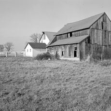
The Mason-Dixon Trail is a 193-mile (310-kilometer) hiking route through Pennsylvania, Maryland, and Delaware that connects the Appalachian highlands to the Brandywine Trail near the coast. The path crosses forests, river gorges, and rolling farmland with clearly marked sections throughout.

The route follows the original survey line from the 1760s established by Charles Mason and Jeremiah Dixon to settle colonial boundary disputes. This historical boundary later became a symbol dividing the industrial North from the agricultural South.

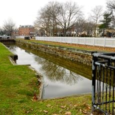
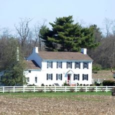
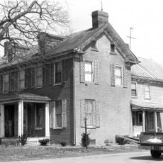
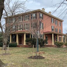
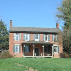
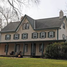
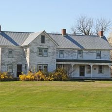
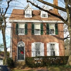
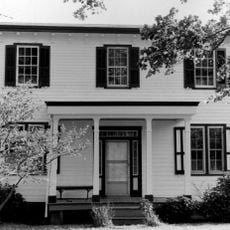
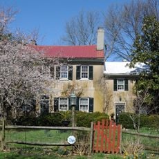
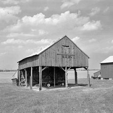
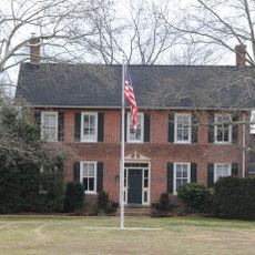
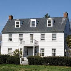
The trail passes through communities and landscapes shaped by the border region's heritage, connecting areas where local identity has long been tied to the state line. Walkers experience how this boundary has influenced settlement patterns and land use across the region.

The trail is marked throughout with light blue blazes that make navigation straightforward. Detailed hiking maps are available online, and the best walking season runs from spring through fall when weather is most stable.

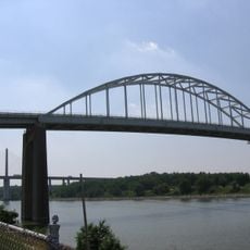
The trail passes through the dramatic Susquehanna River Gorge and crosses the Mason-Dixon line twice, giving the route a surprising geographic twist. This double crossing happens because of how the original boundary line was drawn.

The community of curious travelers

AroundUs brings together thousands of curated places, local tips, and hidden gems, enriched daily by 60,000 contributors worldwide.

Start exploring
Location
Location
Location
GPS coordinates
39.53900,-75.66730
Latest update
December 8, 2025 19:58
« Mason-Dixon Trail - National Recreation Trail in Delaware, United States » is provided by Around Us (aroundus.com). Images and texts are derived from Wikimedia project under a Creative Commons license. You are allowed to copy, distribute, and modify copies of this page, under the conditions set by the license, as long as this note is clearly visible.

Discover hidden gems everywhere you go!

From secret cafés to breathtaking viewpoints, skip the crowded tourist spots and find places that match your style. Our app makes it easy with voice search, smart filtering, route optimization, and insider tips from travelers worldwide. Download now for the complete mobile experience.

Around Us App Screenshot

A unique approach to discovering new places

Le Figaro

All the places worth exploring

France Info

A tailor-made excursion in just a few clicks

20 Minutes

Around Us
Travel Guide & Maps
Download

Send to your phone

QR Code
1

Open the camera app on your mobile.

2

Point at the QR code with your camera. A notification will appear.

3

Tap the notification to open the link.