Mattatuck State Forest, State forest in Connecticut, United States.
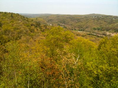
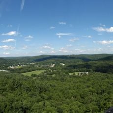
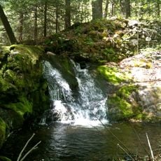
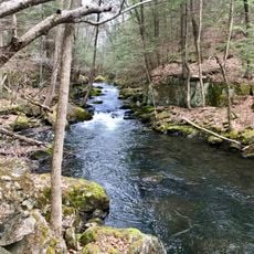
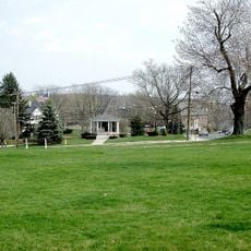
Mattatuck State Forest is a protected woodland area distributed across several parcels in Connecticut, containing various forest types and stream corridors. The landscape features wooded hills, rock outcrops, and water courses that together create a natural hiking destination.
The forest was established in 1926 when local landowners donated woodland, then grew steadily through additional purchases and donations. During the 1930s, workers contributed to forest restoration and management to improve the land.
The name comes from the Paugussett Indians who inhabited this region long before European settlement. Visitors can still sense the connection to Native American history through the land and its origins.
The area features marked trails of varying difficulty, ranging from short walks to longer routes. Access is best found through the surrounding towns, and visitors should be prepared for uneven terrain and natural conditions.
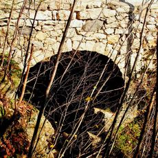
The area is known for Leatherman's Cave, a historic site connected to a 19th-century wanderer who regularly followed an extended route through multiple states. This unusual historical character makes the location a special destination for those seeking to explore local legends.
The community of curious travelers
AroundUs brings together thousands of curated places, local tips, and hidden gems, enriched daily by 60,000 contributors worldwide.