Enable Location

We need your location to show you interesting places around you

Discover nearby places

Find interesting locations and hidden gems around you

Precise directions

Get accurate directions and distances to places

Your location is never shared with other users. It's only used when you tap the location button.

Monson Developmental Center

Log in to your account

Start exploring — it's free

Trusted by 61,899 travelers worldwide

Continue with Google
Continue with Apple
or

We will send you a code to connect

By continuing, you accept our Terms and Conditions and our Privacy Policy

Check your inbox

We've sent a pincode in your inbox. Please enter the code below.

Monson Developmental Center, Former state developmental facility in Monson, United States.

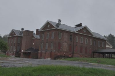
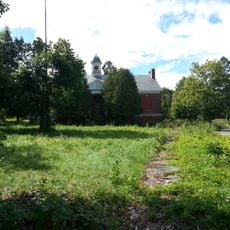
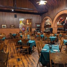
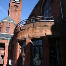
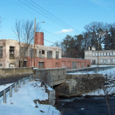
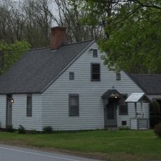
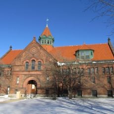
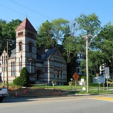
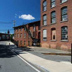
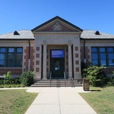
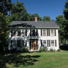
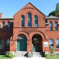
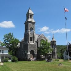
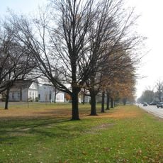
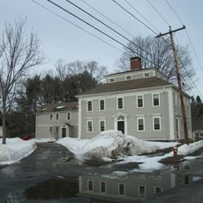
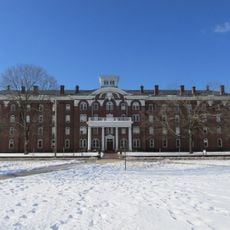
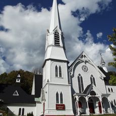
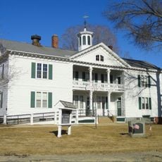
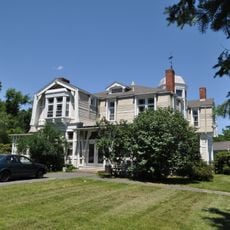
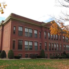
Monson Developmental Center is a former state care facility occupying roughly 675 acres with more than 70 buildings constructed from the 1800s through 1970. The structures display Colonial Revival and Classical Revival styles, arranged across the expansive grounds in various clusters.

The facility began in 1852 as a state almshouse and transformed into a school for special needs in 1866. It later became a hospital for people with epilepsy and operated as a medical center for many decades before closure in 2012.

The site shows how public care for people with developmental needs evolved in Massachusetts, with buildings that reflect changing approaches to support and treatment.

The site is not open for regular visits, as it remains under security and state control due to its historic status. Those interested in exploring should contact local authorities or preservation organizations in advance for information about possible access.

The complex contains buildings from multiple construction periods spanning over 100 years, showing how architectural styles and facility design shifted in response to changing care philosophies. This building evolution itself tells the story of how approaches to treatment and support transformed.

The community of curious travelers

AroundUs brings together thousands of curated places, local tips, and hidden gems, enriched daily by 60,000 contributors worldwide.

Start exploring
Location
GPS coordinates
42.14528,-72.33444
Latest update
December 11, 2025 18:04
Around this place
Belchertown State School
United States of America

Belchertown State School

15.9 km
Lupa Zoo
United States of America

Lupa Zoo

14 km
Brimfield State Forest
United States of America

Brimfield State Forest

10 km
Steaming Tender Restuarant
United States of America

Steaming Tender Restuarant

1.2 km
Chicopee Valley Aqueduct
United States of America

Chicopee Valley Aqueduct

15.4 km
John Payson Williston Observatory
United States of America

John Payson Williston Observatory

13.9 km
Ware Town Hall
United States of America

Ware Town Hall

14.8 km
Omega Metal Processing
United States of America

Omega Metal Processing

6.4 km
Thornton W. Burgess House
United States of America

Thornton W. Burgess House

10.9 km
Clapp Memorial Library
United States of America

Clapp Memorial Library

15.5 km
Warren Public Library
United States of America

Warren Public Library

13.9 km
Ware Millyard Historic District
United States of America

Ware Millyard Historic District

15 km
Indian Orchard Branch Library
United States of America

Indian Orchard Branch Library

14.1 km
Ludlow Center Historic District
United States of America

Ludlow Center Historic District

11.6 km
Palmer Memorial Hall
United States of America

Palmer Memorial Hall

1.4 km
Memorial Town Hall
United States of America

Memorial Town Hall

5.6 km
Belchertown Center Historic District
United States of America

Belchertown Center Historic District

15.7 km
William Norcross House
United States of America

William Norcross House

5.5 km
Academy Historic District
United States of America

Academy Historic District

8.4 km
Warren First Congregational Church – Federated Church
United States of America

Warren First Congregational Church – Federated Church

14 km
Crossman Bridge
United States of America

Crossman Bridge

10.3 km
Warren Town Hall
United States of America

Warren Town Hall

13.7 km
Ware Center Historic District
United States of America

Ware Center Historic District

13.7 km
Ludlow Village Historic District
United States of America

Ludlow Village Historic District

9.2 km
Brimfield Center Historic District
United States of America

Brimfield Center Historic District

3.1 km
Walker-Collis House
United States of America

Walker-Collis House

15.5 km
Myrtle Street School
United States of America

Myrtle Street School

14.3 km
Haviland Pond Beach
United States of America

Haviland Pond Beach

12.1 km
Show the full map
« Monson Developmental Center - Former state developmental facility in Monson, United States » is provided by Around Us (aroundus.com). Images and texts are derived from Wikimedia project under a Creative Commons license. You are allowed to copy, distribute, and modify copies of this page, under the conditions set by the license, as long as this note is clearly visible.

Discover hidden gems everywhere you go!

From secret cafés to breathtaking viewpoints, skip the crowded tourist spots and find places that match your style. Our app makes it easy with voice search, smart filtering, route optimization, and insider tips from travelers worldwide. Download now for the complete mobile experience.

Around Us App Screenshot

A unique approach to discovering new places

Le Figaro

All the places worth exploring

France Info

A tailor-made excursion in just a few clicks

20 Minutes

Around Us
Travel Guide & Maps
Download

Send to your phone

QR Code
1

Open the camera app on your mobile.

2

Point at the QR code with your camera. A notification will appear.

3

Tap the notification to open the link.