Chest opened
+${chestReward.xp} XP
Explorer
NOUVEAU ×${chestReward.collectible.quantity}
tapez pour fermer

See the monuments around you in AR Open chests in the app

Around Us is built for your phone — point your camera at the streets and discover the monuments and places around you in augmented reality. Around Us is built for your phone — chests unlock when you walk, explore and capture nearby places.

Enable Location

We need your location to show you interesting places around you

Discover nearby places

Find interesting locations and hidden gems around you

Precise directions

Get accurate directions and distances to places

Your location is never shared with other users. It's only used when you tap the location button.

Northern Tier

Log in to your account

Start exploring — it's free

Trusted by 83,964 travelers worldwide

Continue with Google
Continue with Apple
or

We will send you a code to connect

By continuing, you accept our Terms and Conditions and our Privacy Policy

Check your inbox

We've sent a pincode in your inbox. Please enter the code below.

Northern Tier
Discussion Reviews 1 Photos
10.6k Popularity

Northern Tier, Rural geographic region in north-central Pennsylvania.

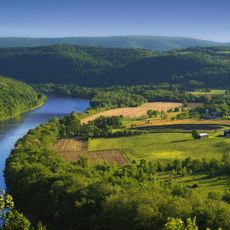
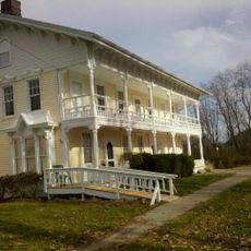
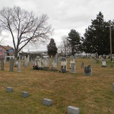
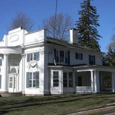
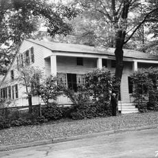
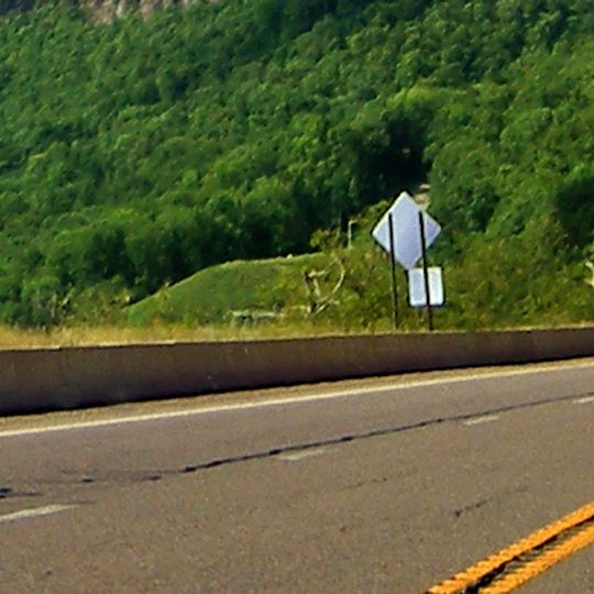
The Northern Tier is a rural region in north-central Pennsylvania stretching across five counties along the New York border. Small towns sit scattered throughout a landscape of mountains, forests, and farmland where rolling hills and open fields alternate.

European settlers arrived in the area starting in 1759, mainly from Dutch, English, German, and Scandinavian backgrounds. These early groups established the settlement patterns and community values that continue to shape the region today.

Farming shapes daily life across the region, from dairy operations to small-scale maple syrup production run by families. You can see this connection to the land reflected in how communities gather around agricultural markets and seasonal traditions.

Main roads like US Route 220, US Route 15, and US Route 6 connect the scattered communities and provide access to larger cities nearby. The best time to explore is in autumn when the foliage turns color and the weather remains mild.

Beneath the region lies the Marcellus Formation, a geological layer containing substantial quantities of natural gas. This resource has made the area a significant energy contributor to the state and reshaped its economy in recent times.

The community of curious travelers

AroundUs brings together thousands of curated places, local tips, and hidden gems, enriched daily by 60,000 contributors worldwide.
Start exploring
Location
GPS coordinates
41.84200,-76.08500
Latest update
August 24, 2026 21:56
Around this place
French Azilum
United States of America

French Azilum

22.7 km
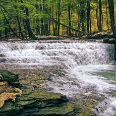
Salt Springs State Park
United States of America

Salt Springs State Park

19.8 km
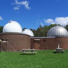
Kopernik Space Center
United States of America

Kopernik Space Center

18.3 km
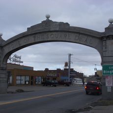
Johnson City Square Deal Arch
United States of America

Johnson City Square Deal Arch

28.2 km
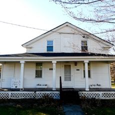
Phillip Paul Bliss House
United States of America

Phillip Paul Bliss House

21.4 km
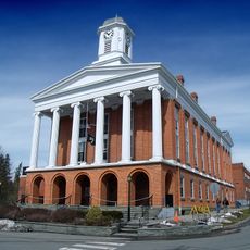
Susquehanna County Courthouse Complex
United States of America

Susquehanna County Courthouse Complex

17.3 km
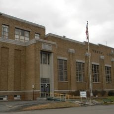
Vestal Central School
United States of America

Vestal Central School

27.2 km
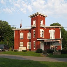
Montrose Historic District
United States of America

Montrose Historic District

17.3 km
Drovers Inn and Round Family Residence
United States of America

Drovers Inn and Round Family Residence

27.7 km
Riverside Cemetery
United States of America

Riverside Cemetery

28.1 km
Silver Lake Bank
United States of America

Silver Lake Bank

17.4 km
Sylvanus Mulford House
United States of America

Sylvanus Mulford House

17.4 km
Waits Methodist Episcopal Church and Cemetery
United States of America

Waits Methodist Episcopal Church and Cemetery

23.9 km
Old Hawleyton Methodist Episcopal Church
United States of America

Old Hawleyton Methodist Episcopal Church

24.1 km
Ellen and Charles F. Welles House
United States of America

Ellen and Charles F. Welles House

24.8 km
United States of America

State Game Lands Number 219

19.4 km
United States of America

State Game Lands Number 140

11.1 km
United States of America

State Game Lands Number 237

22.8 km
United States of America

A Very Old Barn

20 km
United States of America

Laporte House

22 km
United States of America

The Top

23.9 km
United States of America

The Susquehannock Camps

21.6 km
United States of America

Pond hill run

25.5 km
United States of America

Marie Antoinette Lookout

21.5 km
United States of America

Riverview

27.7 km
United States of America

Riverview

27.6 km
United States of America

Waterfall

25.8 km
United States of America

Waterfall

25.8 km
Show the full map
Reviews
Share your experience

No review yet

Discussions
Start a discussion...

No discussion yet

« Northern Tier - Rural geographic region in north-central Pennsylvania » is provided by Around Us (aroundus.com). Images and texts are derived from Wikimedia project under a Creative Commons license. You are allowed to copy, distribute, and modify copies of this page, under the conditions set by the license, as long as this note is clearly visible.

Discover hidden gems everywhere you go!

From secret cafés to breathtaking viewpoints, skip the crowded tourist spots and find places that match your style. Our app makes it easy with voice search, smart filtering, route optimization, and insider tips from travelers worldwide. Download now for the complete mobile experience.

Around Us App Screenshot

A unique approach to discovering new places

Le Figaro

All the places worth exploring

France Info

A tailor-made excursion in just a few clicks

20 Minutes

Around Us
Travel Guide & Maps
Download

Send to your phone

QR Code
1

Open the camera app on your mobile.

2

Point at the QR code with your camera. A notification will appear.

3

Tap the notification to open the link.