
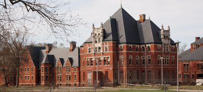
Norwich State Hospital, former hospital
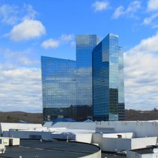
Mohegan Sun
1.5 km
Fort Shantok
1.3 km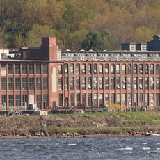
American Thermos Bottle Company Laurel Hill Plant
2.4 km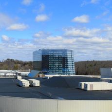
The Earth Tower
1.5 km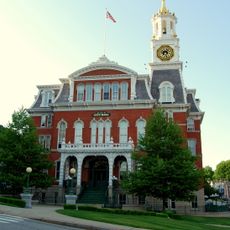
Norwich Town Hall
4.2 km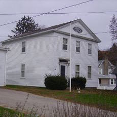
Nathaniel Backus House
5.1 km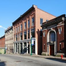
Downtown Norwich Historic District
3.9 km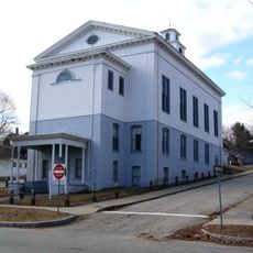
Greeneville
5.2 km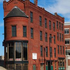
Carroll Building
3.9 km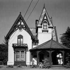
Converse House and Barn
5.1 km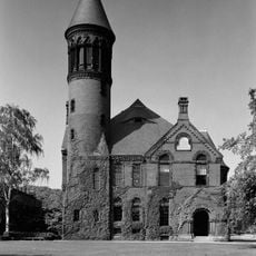
Chelsea Parade Historic District
5 km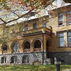
Broad Street School
5.1 km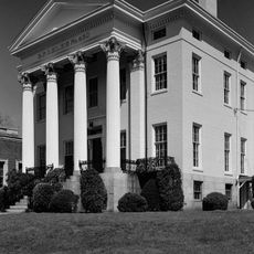
John Fox Slater House
3.9 km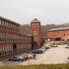
Yantic Falls Historic District
5.1 km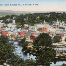
Laurel Hill Historic District
3.2 km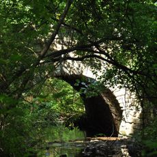
Samson Occom Bridge
1.5 km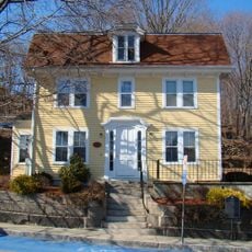
Jail Hill Historic District
4.3 km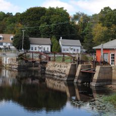
Hallville Mill Historic District
3.4 km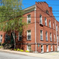
Telephone Exchange Building
4.3 km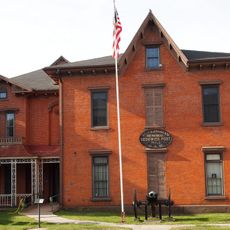
William A. Buckingham House
3.9 km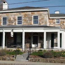
Perkins-Rockwell House
5.1 km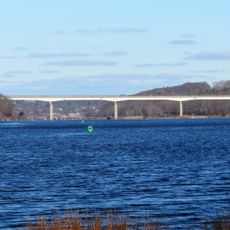
Mohegan-Pequot Bridge
829 m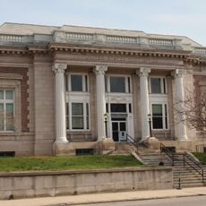
United States Post Office–Norwich Main
3.9 km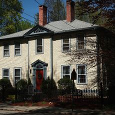
Little Plain Historic District
4.2 km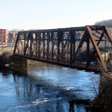
Shetucket River Bridge
3.8 km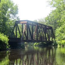
Yantic Falls Bridge
5.2 km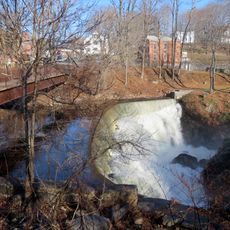
Indian Leap Pedestrian Bridge
5.2 km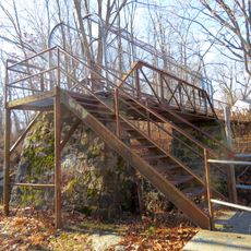
Yantic Falls Footbridge
5.1 kmVisited this place? Tap the stars to rate it and share your experience / photos with the community! Try now! You can cancel it anytime.
Discover hidden gems everywhere you go!
From secret cafés to breathtaking viewpoints, skip the crowded tourist spots and find places that match your style. Our app makes it easy with voice search, smart filtering, route optimization, and insider tips from travelers worldwide. Download now for the complete mobile experience.

A unique approach to discovering new places❞
— Le Figaro
All the places worth exploring❞
— France Info
A tailor-made excursion in just a few clicks❞
— 20 Minutes