Chest opened
+${chestReward.xp} XP
Explorer
NOUVEAU ×${chestReward.collectible.quantity}
tapez pour fermer

See the monuments around you in AR Open chests in the app

Around Us is built for your phone — point your camera at the streets and discover the monuments and places around you in augmented reality. Around Us is built for your phone — chests unlock when you walk, explore and capture nearby places.

Enable Location

We need your location to show you interesting places around you

Discover nearby places

Find interesting locations and hidden gems around you

Precise directions

Get accurate directions and distances to places

Your location is never shared with other users. It's only used when you tap the location button.

Norwood Incline

Log in to your account

Start exploring — it's free

Trusted by 84,148 travelers worldwide

Continue with Google
Continue with Apple
or

We will send you a code to connect

By continuing, you accept our Terms and Conditions and our Privacy Policy

Check your inbox

We've sent a pincode in your inbox. Please enter the code below.

Norwood Incline
Discussion Reviews 1 Photos
900+ Popularity

Norwood Incline, Abandoned funicular railway in McKees Rocks and Stowe Township, Pennsylvania, US

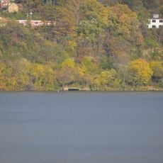
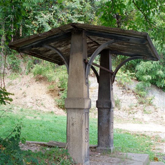
The Norwood Incline is an abandoned funicular railway in McKees Rocks and Stowe Township, near Pittsburgh, Pennsylvania. It ran up a steep hillside, linking the lower area of McKees Rocks to the neighborhood of Norwood above, on a track with three rails that allowed two cars to pass each other on the slope.

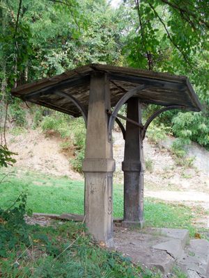
The Norwood Incline opened in 1901, built originally to attract buyers to new homes in the area rather than as a public transport service. It closed in 1923, after which a set of concrete stairs replaced it on the hillside, though those too have since disappeared, leaving only the stone waiting shelter.

The Norwood Incline was known locally as the "Penny Incline" because it started as a free ride and later charged a single cent. During its years of operation, it connected residents to Norwood Hall, a large pavilion near the top of the line where people gathered for sports events and community life.

The surviving shelter is accessible from the street and can be viewed at any time, though there are no visitor facilities or official signage at the site. It is easiest to visit during daylight hours, as the area around it is not lit at night.

The owner of the Norwood Incline originally built it as a free service to sell houses nearby, with no intention of charging fares. When he eventually introduced a one cent charge, the nickname "Penny Incline" stuck and became the name most locals knew it by.

The community of curious travelers

AroundUs brings together thousands of curated places, local tips, and hidden gems, enriched daily by 60,000 contributors worldwide.
Start exploring
Location
Location
GPS coordinates
40.47428,-80.06551
Latest update
August 26, 2026 13:07
Around this place
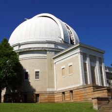
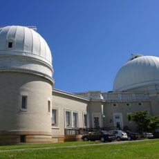
Allegheny Observatory
United States of America

Allegheny Observatory

3.9 km
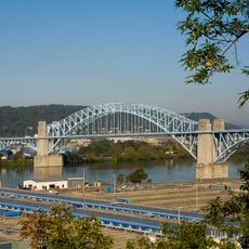
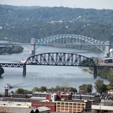
McKees Rocks Bridge
United States of America

McKees Rocks Bridge

1.7 km
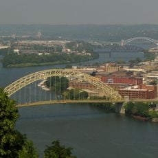
West End Bridge
United States of America

West End Bridge

4.5 km
Riverview Park
United States of America

Riverview Park

4 km
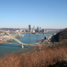
West End Overlook
United States of America

West End Overlook

4.1 km
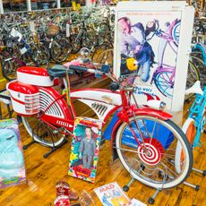
Bicycle Heaven
United States of America

Bicycle Heaven

3.5 km
Ohio Connecting Railroad Bridge
United States of America

Ohio Connecting Railroad Bridge

2.3 km
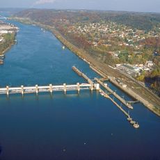
Emsworth Locks and Dam
United States of America

Emsworth Locks and Dam

3.8 km
Andrew Bayne Memorial Library
United States of America

Andrew Bayne Memorial Library

2.6 km
Davis Island Lock and Dam Site
United States of America

Davis Island Lock and Dam Site

2.1 km
Fleming Park Bridge
United States of America

Fleming Park Bridge

2.2 km
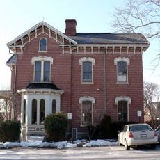
Anderson Manor
United States of America

Anderson Manor

3.9 km
George Leber House
United States of America

George Leber House

4.2 km
PC&Y Railroad Bridge
United States of America

PC&Y Railroad Bridge

2.4 km
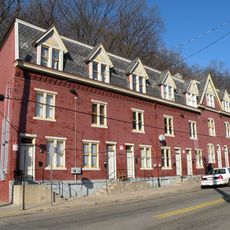
Houses at 838–862 Brightridge Street
United States of America

Houses at 838–862 Brightridge Street

4.2 km
George J. Schmitt House
United States of America

George J. Schmitt House

3.8 km
Arthurs-Johnson House
United States of America

Arthurs-Johnson House

3.5 km
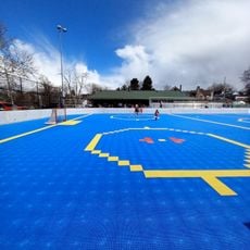
Team Pittsburgh Dekhockey
United States of America

Team Pittsburgh Dekhockey

2.2 km
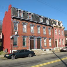
Old Allegheny Rows Historic District
United States of America

Old Allegheny Rows Historic District

4.3 km
Houses at 2501–2531 Charles Street
United States of America

Houses at 2501–2531 Charles Street

4.1 km
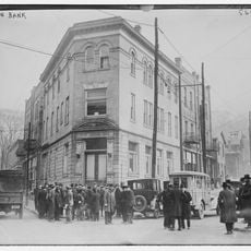
Crafton Bank
United States of America

Crafton Bank

4.3 km
United States of America

Gabriel Statue

4.2 km
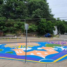
Bikes and Books asphalt art mural
United States of America

Bikes and Books asphalt art mural

3 km
United States of America

Work of art

2.7 km
United States of America

Holy Family

3.4 km
United States of America

Kennedy Space Center astronaut

3.5 km
United States of America

Police Officer

3.4 km
United States of America

Sculpture

2.5 km
Show the full map
Reviews
Share your experience

No review yet

Discussions
Start a discussion...

No discussion yet

« Norwood Incline - Abandoned funicular railway in McKees Rocks and Stowe Township, Pennsylvania, US » is provided by Around Us (aroundus.com). Images and texts are derived from Wikimedia project under a Creative Commons license. You are allowed to copy, distribute, and modify copies of this page, under the conditions set by the license, as long as this note is clearly visible.

Discover hidden gems everywhere you go!

From secret cafés to breathtaking viewpoints, skip the crowded tourist spots and find places that match your style. Our app makes it easy with voice search, smart filtering, route optimization, and insider tips from travelers worldwide. Download now for the complete mobile experience.

Around Us App Screenshot

A unique approach to discovering new places

Le Figaro

All the places worth exploring

France Info

A tailor-made excursion in just a few clicks

20 Minutes

Around Us
Travel Guide & Maps
Download

Send to your phone

QR Code
1

Open the camera app on your mobile.

2

Point at the QR code with your camera. A notification will appear.

3

Tap the notification to open the link.