Chest opened
+${chestReward.xp} XP
Explorer
NOUVEAU ×${chestReward.collectible.quantity}
tapez pour fermer
Chest locked

Open chests in the app

Around Us is built for your phone — chests unlock when you walk, explore and capture nearby places.

Enable Location

We need your location to show you interesting places around you

Discover nearby places

Find interesting locations and hidden gems around you

Precise directions

Get accurate directions and distances to places

Your location is never shared with other users. It's only used when you tap the location button.

Oley Valley

Log in to your account

Start exploring — it's free

Trusted by 72,878 travelers worldwide

Continue with Google
Continue with Apple
or

We will send you a code to connect

By continuing, you accept our Terms and Conditions and our Privacy Policy

Check your inbox

We've sent a pincode in your inbox. Please enter the code below.

Oley Valley
Discussion Reviews 1 Photos
11.1k Popularity

Oley Valley, Agricultural valley in Berks County, Pennsylvania, US.

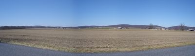
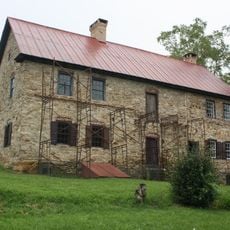
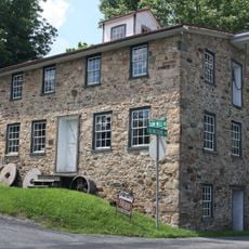
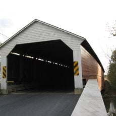
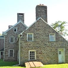
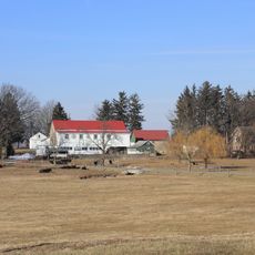
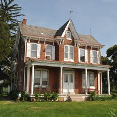
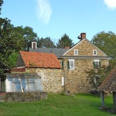
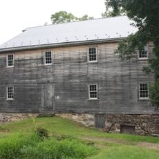
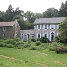
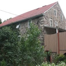
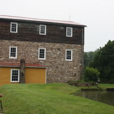
Oley Valley is an agricultural landscape in Berks County, Pennsylvania, stretching across multiple townships and marked by rolling hills, flowing streams, and fields arranged like a patchwork. The valley is bordered and threaded by forests and country roads that connect historic homesteads and working farms.

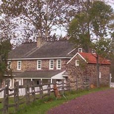
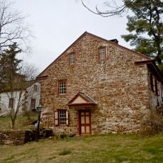
German-speaking immigrants established the first homesteads here in the 1720s and profoundly shaped the valley's agricultural character. Many of today's families can trace their roots directly to these founding settlers.

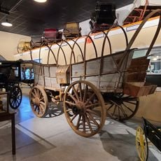
The valley is defined by farming families who have lived and worked here for generations. At local markets and community gatherings, visitors can experience how deeply rooted residents are to the land and its traditions.

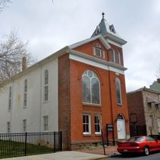
The region can be explored on foot or by car, with marked trails, farm stands, and historical sites along country roads northeast of Reading. The best time to visit is during warmer months when trails are dry and local markets are open.

The Sacred Oak is a tree roughly 500 years old, standing where the Lenape people once conducted important negotiations. This ancient tree is still visible today and connects the region's early history with the present.

The community of curious travelers

AroundUs brings together thousands of curated places, local tips, and hidden gems, enriched daily by 60,000 contributors worldwide.

Start exploring
Location
GPS coordinates
40.38300,-75.77600
Latest update
December 8, 2025 13:43
Around this place
Daniel Boone Homestead
United States of America

Daniel Boone Homestead

9.6 km
United States of America

Sacred Oak

3.1 km
Mordecai Lincoln House
United States of America

Mordecai Lincoln House

12.3 km
Bethel A.M.E. Church
United States of America

Bethel A.M.E. Church

13.1 km
Keim Homestead
United States of America

Keim Homestead

3.8 km
Bahr Mill Complex
United States of America

Bahr Mill Complex

11.1 km
Pleasantville Bridge
United States of America

Pleasantville Bridge

3.2 km
Pine Forge Mansion and Industrial Site
United States of America

Pine Forge Mansion and Industrial Site

12.6 km
Christian Schlegel Farm
United States of America

Christian Schlegel Farm

9.3 km
John Bishop House
United States of America

John Bishop House

11.1 km
Frederick Lauer Monument
United States of America

Frederick Lauer Monument

12.9 km
City Hall
United States of America

City Hall

13.3 km
Peter Wanner Mansion
United States of America

Peter Wanner Mansion

12.2 km
Sally Ann Furnace Complex
United States of America

Sally Ann Furnace Complex

10.9 km
Henry Fisher House
United States of America

Henry Fisher House

4.9 km
Greisemer's Mill Bridge
United States of America

Greisemer's Mill Bridge

3.9 km
Mill Tract Farm
United States of America

Mill Tract Farm

6.6 km
Boyer-Mertz Farm
United States of America

Boyer-Mertz Farm

12.7 km
John F. Lutz Furniture Co. & Funerary
United States of America

John F. Lutz Furniture Co. & Funerary

9.8 km
First National Bank in Fleetwood
United States of America

First National Bank in Fleetwood

8.8 km
Reiff Farm
United States of America

Reiff Farm

2.7 km
Yoder Mill
United States of America

Yoder Mill

4.9 km
Rhoads-Lorah House and Barn
United States of America

Rhoads-Lorah House and Barn

7.5 km
Guldin Mill
United States of America

Guldin Mill

10.5 km
Ironstone Bridge
United States of America

Ironstone Bridge

12.6 km
Mill at Lobachsville
United States of America

Mill at Lobachsville

5 km
Boyertown Museum of Historic Vehicles
United States of America

Boyertown Museum of Historic Vehicles

12.8 km
Lindbergh Viaduct
United States of America

Lindbergh Viaduct

12 km
Show the full map
Reviews
Share your experience

No review yet

Discussions
Start a discussion...

No discussion yet

« Oley Valley - Agricultural valley in Berks County, Pennsylvania, US » is provided by Around Us (aroundus.com). Images and texts are derived from Wikimedia project under a Creative Commons license. You are allowed to copy, distribute, and modify copies of this page, under the conditions set by the license, as long as this note is clearly visible.

Discover hidden gems everywhere you go!

From secret cafés to breathtaking viewpoints, skip the crowded tourist spots and find places that match your style. Our app makes it easy with voice search, smart filtering, route optimization, and insider tips from travelers worldwide. Download now for the complete mobile experience.

Around Us App Screenshot

A unique approach to discovering new places

Le Figaro

All the places worth exploring

France Info

A tailor-made excursion in just a few clicks

20 Minutes

Around Us
Travel Guide & Maps
Download

Send to your phone

QR Code
1

Open the camera app on your mobile.

2

Point at the QR code with your camera. A notification will appear.

3

Tap the notification to open the link.