Chest opened
+${chestReward.xp} XP
Explorer
NOUVEAU ×${chestReward.collectible.quantity}
tapez pour fermer
Chest locked

Open chests in the app

Around Us is built for your phone — chests unlock when you walk, explore and capture nearby places.

Enable Location

We need your location to show you interesting places around you

Discover nearby places

Find interesting locations and hidden gems around you

Precise directions

Get accurate directions and distances to places

Your location is never shared with other users. It's only used when you tap the location button.

Log in to your account

Start exploring — it's free

Trusted by 72,899 travelers worldwide

Continue with Google
Continue with Apple
or

We will send you a code to connect

By continuing, you accept our Terms and Conditions and our Privacy Policy

Check your inbox

We've sent a pincode in your inbox. Please enter the code below.

Rahway River
Discussion Reviews Photo
9.6k Popularity

Rahway River, River system through Essex, Middlesex, and Union Counties, United States.

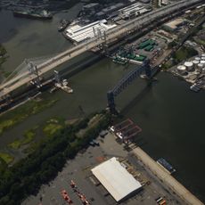
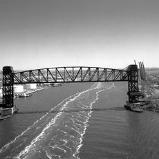
The Rahway River is a river system flowing through Essex, Middlesex, and Union Counties in New Jersey for about 24 miles. It begins at Crystal Lake and ends at the Arthur Kill, which connects to the New York-New Jersey Harbor Estuary.

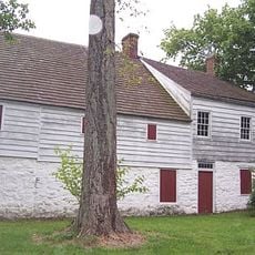
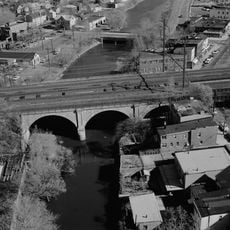
During the 1800s the river powered industrial growth as mills and factories used its water to run machinery and transport goods. This industrial past shaped how the region and its towns developed over the following generations.

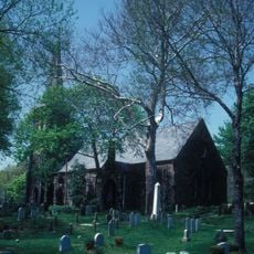
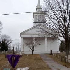
The name comes from a Lenape chief called Rahwack who lived in this region long before Europeans arrived. Local communities keep this connection alive through place names and stories passed down over generations.

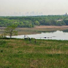
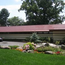
The waterway serves as a drinking water source for the City of Rahway and is stocked regularly for fishing activities. Public parks and access points along the river make it easy to find places to visit and explore the water.

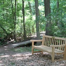
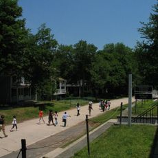
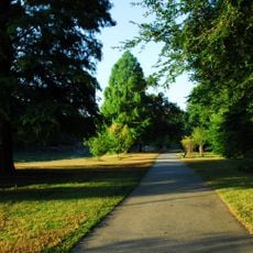
The Rahway River Parkway was designed by the Olmsted Brothers in the 1920s and creates a connected greenway linking several towns. This linear park system is a remarkable example of early parkland planning across multiple communities.

The community of curious travelers

AroundUs brings together thousands of curated places, local tips, and hidden gems, enriched daily by 60,000 contributors worldwide.

Start exploring
GPS coordinates
40.59450,-74.20640
Latest update
December 10, 2025 15:57
Around this place
Goethals Bridge
United States of America

Goethals Bridge

4.6 km
Freshkills Park
United States of America

Freshkills Park

2.1 km
Staten Island boat graveyard
United States of America

Staten Island boat graveyard

4.4 km
Arthur Kill Vertical Lift Bridge
United States of America

Arthur Kill Vertical Lift Bridge

4.9 km
Staten Island Greenbelt
United States of America

Staten Island Greenbelt

5.7 km
Historic Richmond Town
United States of America

Historic Richmond Town

5.7 km
Voorlezer's House
United States of America

Voorlezer's House

5.6 km
Red Hook Container Terminal
United States of America

Red Hook Container Terminal

5.1 km
United States of America

New Springville, Staten Island

3.7 km
The Crimson Beech
United States of America

The Crimson Beech

5.8 km
United States of America

William T. Davis Wildlife Refuge

2.7 km
Willowbrook Park
United States of America

Willowbrook Park

4.2 km
Old Goethals Bridge
United States of America

Old Goethals Bridge

4.7 km
Staten Island Light
United States of America

Staten Island Light

5.9 km
Church of Our Lady of Pity
United States of America

Church of Our Lady of Pity

4.1 km
United States of America

Old Place, Staten Island

4.6 km
St. Andrew's Church
United States of America

St. Andrew's Church

5.6 km
Treasure House
United States of America

Treasure House

5.6 km
Woodrow Methodist Church
United States of America

Woodrow Methodist Church

5.7 km
Rahway River Bridge
United States of America

Rahway River Bridge

5.9 km
South Front Street Bridge
United States of America

South Front Street Bridge

5.7 km
LaTourette House
United States of America

LaTourette House

5.4 km
Britton Cottage
United States of America

Britton Cottage

5.7 km
Christopher House
United States of America

Christopher House

5.5 km
Lake-Tysen House
United States of America

Lake-Tysen House

5.7 km
Boehm House
United States of America

Boehm House

5.6 km
Third County Courthouse
United States of America

Third County Courthouse

5.8 km
Stephens-Black House
United States of America

Stephens-Black House

5.8 km
Show the full map
Reviews
Share your experience

No review yet

Discussions
Start a discussion...

No discussion yet

« Rahway River - River system through Essex, Middlesex, and Union Counties, United States » is provided by Around Us (aroundus.com). Images and texts are derived from Wikimedia project under a Creative Commons license. You are allowed to copy, distribute, and modify copies of this page, under the conditions set by the license, as long as this note is clearly visible.

Discover hidden gems everywhere you go!

From secret cafés to breathtaking viewpoints, skip the crowded tourist spots and find places that match your style. Our app makes it easy with voice search, smart filtering, route optimization, and insider tips from travelers worldwide. Download now for the complete mobile experience.

Around Us App Screenshot

A unique approach to discovering new places

Le Figaro

All the places worth exploring

France Info

A tailor-made excursion in just a few clicks

20 Minutes

Around Us
Travel Guide & Maps
Download

Send to your phone

QR Code
1

Open the camera app on your mobile.

2

Point at the QR code with your camera. A notification will appear.

3

Tap the notification to open the link.