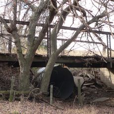
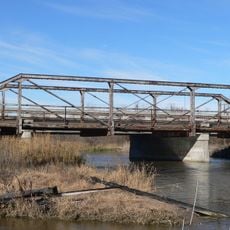
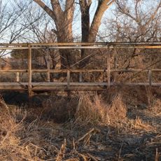
Rainwater Basin, Protected wetland area in south-central Nebraska, United States.
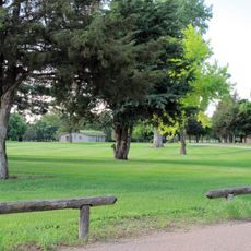
The Rainwater Basin encompasses thousands of shallow wetland depressions scattered across south-central Nebraska, formed by natural geological processes and characterized by seasonal water fluctuations that create diverse aquatic habitats.
These wetlands formed approximately 115,000 years ago before the Wisconsin glaciation, with their current configuration shaped by centuries of natural fires, droughts, floods, and later agricultural development in the early 20th century.
The basin serves as a crucial stopover point for millions of migratory birds during spring and fall seasons, making it a significant destination for birdwatchers and nature enthusiasts from across the country.
Visitors can access designated viewing areas and trails throughout the basin, with optimal viewing conditions occurring during spring and fall migration periods when water levels and bird populations are highest.
The basin's elliptical depressions show remarkable geometric similarities to Carolina Bays located over 1,800 kilometers away, suggesting possible shared geological origins or formation processes that continue to intrigue researchers.
Location: Nebraska
Website: https://www.fws.gov/refuge/rainwater_basin_wmd/
Website: https://fws.gov/refuge/rainwater_basin_wmd
GPS coordinates: 40.70830,-99.08110
Latest update: July 25, 2025 19:46
Fort Kearny
9.4 km
Great Platte River Road Archway Monument
5.6 km
Pioneer Village
25.2 km
The Great Platte River Road Archway
5.6 km
Museum of Nebraska Art
957 m
George W. Frank House
2.4 km
Salem Swedish Methodist Episcopal Church
29.6 km
Kearney County Courthouse
25.9 km
George Meisner House
30.4 km
Kinner House
39.3 km
Saint Luke's Protestant Episcopal Church
1.1 km
Meisner Bank Building
30.4 km
Minden United States Post Office
26 km
Gloe Brothers Service Station
43 km
Dr. A.O. Thomas House
1.5 km
John Barnd House
472 m
Phelps County Courthouse
38.6 km
Fort Theatre
1.2 km
W. T. Thorne Building
25.8 km
Eddie Eugene and Harriet Cotton Carpenter Farmstead
19.9 km
John J. and Lenora Bartlett House
2.5 km
Hanson-Downing House
1.5 km
Klehm House
1.6 km
World Theatre
1.1 km
Turkey Creek Bridge
50.9 km
Tobin Indian Raid Historical Marker
35.9 km
Kilgore Bridge
11.3 km
Sweetwater Mill Bridge
37.5 kmReviews
Visited this place? Tap the stars to rate it and share your experience / photos with the community! Try now! You can cancel it anytime.
Discover hidden gems everywhere you go!
From secret cafés to breathtaking viewpoints, skip the crowded tourist spots and find places that match your style. Our app makes it easy with voice search, smart filtering, route optimization, and insider tips from travelers worldwide. Download now for the complete mobile experience.
A unique approach to discovering new places❞
— Le Figaro
All the places worth exploring❞
— France Info
A tailor-made excursion in just a few clicks❞
— 20 Minutes