Rachel Carson Greenway Trail, trail in Maryland, United States
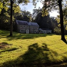
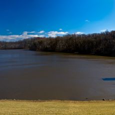
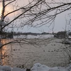
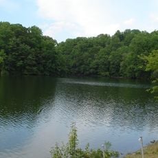
The Rachel Carson Greenway Trail is a long walking path that winds through Montgomery County and Prince George's County along the Anacostia River. The route passes through open fields and wooded areas with resting spots placed under trees throughout.
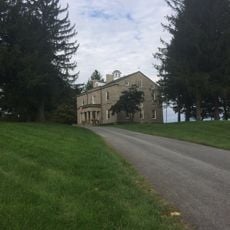
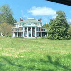
The area was historically used for farming and small settlements before being transformed into a nature preservation space. The trail's creation reflects growing community efforts to protect natural spaces and connect outdoor areas.
The trail is named after Rachel Carson, a writer whose work inspired people to think about protecting the environment. This naming reflects how the local community values conservation and natural spaces.
The trail is accessible from entry points near Colesville Road and Adelphi Mill, opening at dawn and closing at sunset each day. Parking is available at multiple trailheads, though restroom facilities are not located on the paths themselves.
The trail has designated use zones where the east side of the creek is reserved for hikers only, while the west side welcomes bikers and horseback riders. This separation allows different users to choose their preferred level of activity and solitude.
The community of curious travelers
AroundUs brings together thousands of curated places, local tips, and hidden gems, enriched daily by 60,000 contributors worldwide.