Rochester Downtown Historic District
Rochester Downtown Historic District, Historic district in Rochester, Indiana
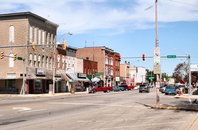
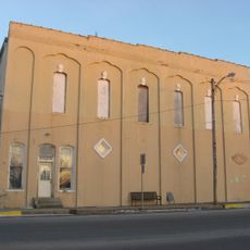
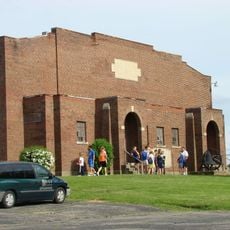
The Rochester Downtown Historic District spans multiple blocks with masonry and Italianate structures along Main Street, formerly called Michigan Road. The area combines preserved commercial buildings that now house contemporary shops and dining establishments while retaining their original architectural character.
The area was established in 1835 by Alexander Chamberlain and Lot Bozarth, who built the first tavern-hotel that year. It gained recognition on the National Register of Historic Places in 2008 for its architectural and historical significance.
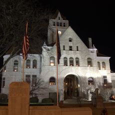
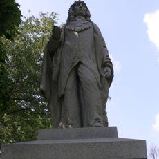
The Fulton County Courthouse grounds display four memorials, including one honoring the Potawatomi Trail of Death and another recognizing Rochester College.
The district is easy to explore on foot, with street parking readily available and clear sidewalks throughout the downtown area. Most buildings are viewable from the street and accessible, making it simple to enjoy the architecture at your own pace.
Main Street was originally Michigan Road, serving as a key trade route through the region. This early transportation connection shaped where businesses established themselves and explains the district's linear layout.
Location: Indiana
GPS coordinates: 41.07333,-86.22500
Latest update: December 14, 2025 15:02
Tippecanoe River State Park
30.5 km
Fulton County Courthouse
1.2 km
Chief Menominee Memorial Site
27.2 km
Plymouth Downtown Historic District
30.6 km
Eikenberry Bridge
28.1 km
Bert Leedy Round Barn
4.1 km
Stockdale Mill
29.5 km
Argos Downtown Historic District
18.3 km
Hoham-Klinghammer-Weckerle House and Brewery Site
30.4 km
John W. Smith House
929 m
East Laporte Street Footbridge
30.4 km
East Shore Historic District
20 km
Lyman M. Brackett House
1 km
Monterey Bandstand
23.5 km
Utter-Gerig Round Barn
11.2 km
Argos Izaak Walton League Historic District
19.3 km
Silver Lake Historic District
27.9 km
Bourbon Community Building-Gymnasium
27.1 km
Marshall County Infirmary
29.1 km
Paw Paw Creek Bridge No. 52
30.7 km
Norris Farm-Maxinkuckee Orchard
18.8 km
Jacoby Church
26.5 km
Lewis and Sarah Boggs House
22.5 km
Forest Place Historic District
23 km
Woodbank
19.2 km
Erwin House
23.8 km
Gaskill-Erwin Farm
23.7 km
John Haimbaugh Round Barn
5.5 kmVisited this place? Tap the stars to rate it and share your experience / photos with the community! Try now! You can cancel it anytime.
Discover hidden gems everywhere you go!
From secret cafés to breathtaking viewpoints, skip the crowded tourist spots and find places that match your style. Our app makes it easy with voice search, smart filtering, route optimization, and insider tips from travelers worldwide. Download now for the complete mobile experience.
A unique approach to discovering new places❞
— Le Figaro
All the places worth exploring❞
— France Info
A tailor-made excursion in just a few clicks❞
— 20 Minutes