Sherman Hill Historic District

Log in to your account

AroundUs is a community-driven map of interesting places, built by curious explorers like you. It grows with every review, story, and photo you share.
Connect to save your favorite spots, contribute locations, and create personalized routes.
Continue with Google
Continue with Apple
Continue with X
Continue with Facebook
Continue with email
By continuing, you accept our Terms and Conditions and our Privacy Policy
Create an account
Add to collection
Map
Suggest a change
Share

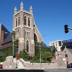
Sherman Hill Historic District, Historic residential district in Des Moines, United States.

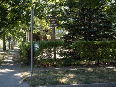
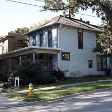
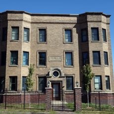
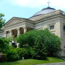
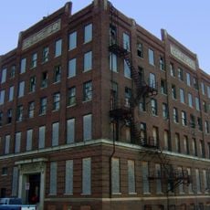
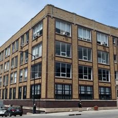
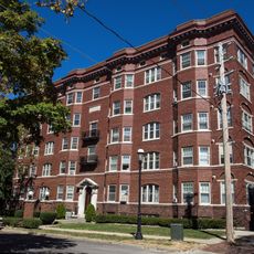
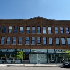
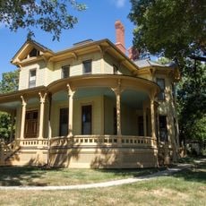
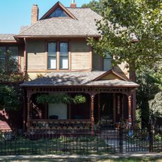
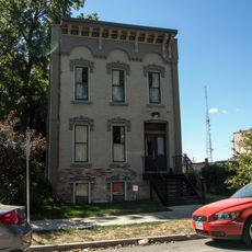
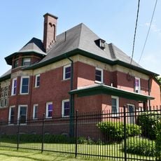
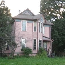
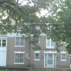
Sherman Hill Historic District is a residential neighborhood in Des Moines containing about 210 buildings spread across roughly 80 acres, bounded by 15th Street, High Street, Martin Luther King Parkway, and School Street. The area blends single-family and multi-family houses from different building periods, showing diverse architectural development.

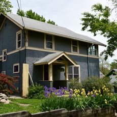
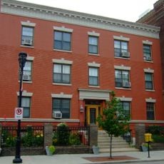
The neighborhood developed between 1880 and 1920, starting as a wealthy residential area that later transformed into a denser district with multi-family homes. This shift reflected the population growth and economic changes happening in Des Moines during that period.

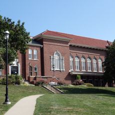
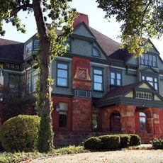
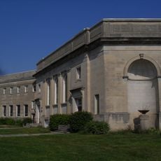
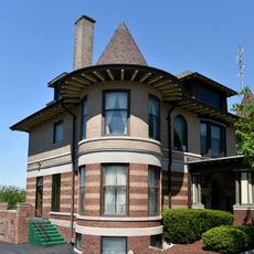
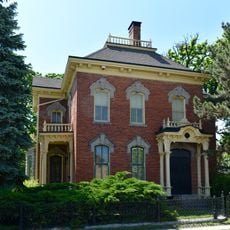
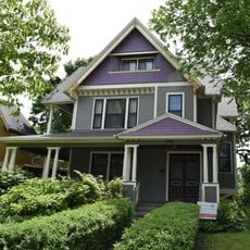
The architecture reveals French Château, Italianate, and Queen Anne styles side by side, reflecting the diverse backgrounds of people who settled here early on. Walking through the streets, you notice how these different building styles shaped the neighborhood and continue to define its character today.

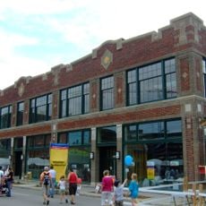
The neighborhood is easy to explore on foot and offers several local shops and restaurants within the area. Visitors will find parking available and good access to nearby medical facilities and public spaces.

The annual Doors to the Past Home Tour allows visitors to step inside restored Victorian-era houses throughout the neighborhood and see how they were arranged. This gives a rare look at the daily life and furnishings of people who lived here over a century ago.

Location: Des Moines

GPS coordinates: 41.59111,-93.64028

Latest update: December 12, 2025 14:26

Photos
Around this place
Hoyt Sherman Place
United States of America

Hoyt Sherman Place

322 m
Hoyt Sherman Place
United States of America

Hoyt Sherman Place

298 m
Pappajohn Sculpture Park
United States of America

Pappajohn Sculpture Park

781 m
Pappajohn Sculpture Park
United States of America

Pappajohn Sculpture Park

782 m
Henry Wallace House
United States of America

Henry Wallace House

56 m
Cathedral Church of Saint Paul
United States of America

Cathedral Church of Saint Paul

999 m
Murillo Flats
United States of America

Murillo Flats

450 m
First United Methodist Church
United States of America

First United Methodist Church

816 m
Crane Building
United States of America

Crane Building

857 m
F. W. Fitch Company Historic District
United States of America

F. W. Fitch Company Historic District

909 m
The Lexington
United States of America

The Lexington

126 m
Herndon Hall
United States of America

Herndon Hall

836 m
Cottage Grove Avenue Presbyterian Church
United States of America

Cottage Grove Avenue Presbyterian Church

1 km
Studebaker Corporation Branch Office Building
United States of America

Studebaker Corporation Branch Office Building

847 m
D.S. Chamberlain Building
United States of America

D.S. Chamberlain Building

900 m
Woodland Place Historic District
United States of America

Woodland Place Historic District

956 m
Crawford House
United States of America

Crawford House

923 m
Hallett Flats–Rawson & Co. Apartment Building
United States of America

Hallett Flats–Rawson & Co. Apartment Building

878 m
Naylor House
United States of America

Naylor House

989 m
G.W. Jones Building
United States of America

G.W. Jones Building

848 m
Maish House
United States of America

Maish House

100 m
F.A. Benham House
United States of America

F.A. Benham House

224 m
Henshie-Briggs Row House
United States of America

Henshie-Briggs Row House

360 m
Capt. Nicholas W. and Emma Johnson House
United States of America

Capt. Nicholas W. and Emma Johnson House

1 km
Francis M. Kirkham House
United States of America

Francis M. Kirkham House

986 m
George B. Peak House
United States of America

George B. Peak House

948 m
Richard T.C. Lord and William V. Wilcox House
United States of America

Richard T.C. Lord and William V. Wilcox House

1 km
Better Homes and Gardens Test Garden
United States of America

Better Homes and Gardens Test Garden

731 m
Show the full map
Reviews

Visited this place? Tap the stars to rate it and share your experience / photos with the community! Try now! You can cancel it anytime.

« Sherman Hill Historic District - Historic residential district in Des Moines, United States » is provided by Around Us (aroundus.com). Images and texts are derived from Wikimedia project under a Creative Commons license. You are allowed to copy, distribute, and modify copies of this page, under the conditions set by the license, as long as this note is clearly visible.

Discover hidden gems everywhere you go!

From secret cafés to breathtaking viewpoints, skip the crowded tourist spots and find places that match your style. Our app makes it easy with voice search, smart filtering, route optimization, and insider tips from travelers worldwide. Download now for the complete mobile experience.

Around Us App Screenshot

A unique approach to discovering new places

Le Figaro

All the places worth exploring

France Info

A tailor-made excursion in just a few clicks

20 Minutes