Chest opened
+${chestReward.xp} XP
Explorer
NOUVEAU ×${chestReward.collectible.quantity}
tapez pour fermer
Chest locked

Open chests in the app

Around Us is built for your phone — chests unlock when you walk, explore and capture nearby places.

Enable Location

We need your location to show you interesting places around you

Discover nearby places

Find interesting locations and hidden gems around you

Precise directions

Get accurate directions and distances to places

Your location is never shared with other users. It's only used when you tap the location button.

Log in to your account

Start exploring — it's free

Trusted by 73,029 travelers worldwide

Continue with Google
Continue with Apple
or

We will send you a code to connect

By continuing, you accept our Terms and Conditions and our Privacy Policy

Check your inbox

We've sent a pincode in your inbox. Please enter the code below.

South Shore, Staten Island
Discussion Reviews Photo
8.9k Popularity

South Shore, Staten Island, Residential district in Staten Island, US

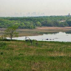
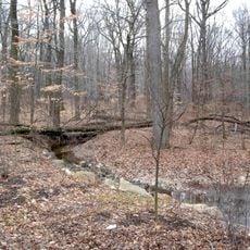
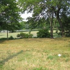
South Shore is a residential district in southern Staten Island that stretches along Raritan Bay and Richmond Creek with suburban streets and waterfront areas. The area sits between hilly inland regions and the shoreline, mixing residential neighborhoods with open water spaces.

This area remained largely rural until the Verrazano Bridge opened in the 1960s, after which it rapidly transformed into a residential region. That infrastructure change brought thousands of new residents and reshaped the entire landscape.

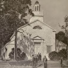
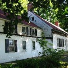
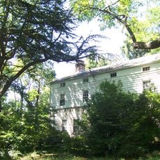
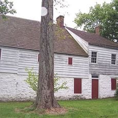
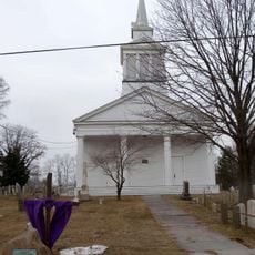
The neighborhoods of Great Kills, Tottenville, and Annadale show their roots in Italian, Irish, and English communities through local celebrations and traditional practices. These areas keep their heritage alive in family-run shops and gatherings that shape everyday life.

Getting to Manhattan from this area works through express buses on main roads or the Staten Island Railway, which connects to the ferry terminal. Most places are reachable by car or bus, and the waterfront access makes it easy to navigate the area.

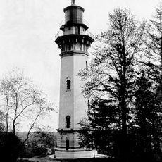
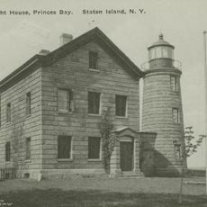
The waters offshore were one of the major oyster harvesting grounds during the 1800s and shaped the local economy for generations. This rich maritime past is barely visible today but lives on in local museums and historical records.

The community of curious travelers

AroundUs brings together thousands of curated places, local tips, and hidden gems, enriched daily by 60,000 contributors worldwide.

Start exploring
Location
GPS coordinates
40.53700,-74.16100
Latest update
December 10, 2025 16:00
Reviews
Share your experience

No review yet

Discussions
Start a discussion...

No discussion yet

« South Shore, Staten Island - Residential district in Staten Island, US » is provided by Around Us (aroundus.com). Images and texts are derived from Wikimedia project under a Creative Commons license. You are allowed to copy, distribute, and modify copies of this page, under the conditions set by the license, as long as this note is clearly visible.

Discover hidden gems everywhere you go!

From secret cafés to breathtaking viewpoints, skip the crowded tourist spots and find places that match your style. Our app makes it easy with voice search, smart filtering, route optimization, and insider tips from travelers worldwide. Download now for the complete mobile experience.

Around Us App Screenshot

A unique approach to discovering new places

Le Figaro

All the places worth exploring

France Info

A tailor-made excursion in just a few clicks

20 Minutes

Around Us
Travel Guide & Maps
Download

Send to your phone

QR Code
1

Open the camera app on your mobile.

2

Point at the QR code with your camera. A notification will appear.

3

Tap the notification to open the link.