Chest opened
+${chestReward.xp} XP
Explorer
NOUVEAU ×${chestReward.collectible.quantity}
tapez pour fermer

See the monuments around you in AR Open chests in the app

Around Us is built for your phone — point your camera at the streets and discover the monuments and places around you in augmented reality. Around Us is built for your phone — chests unlock when you walk, explore and capture nearby places.

Enable Location

We need your location to show you interesting places around you

Discover nearby places

Find interesting locations and hidden gems around you

Precise directions

Get accurate directions and distances to places

Your location is never shared with other users. It's only used when you tap the location button.

Split Rock Creek State Park

Log in to your account

Start exploring — it's free

Trusted by 85,371 travelers worldwide

Continue with Google
Continue with Apple
or

We will send you a code to connect

By continuing, you accept our Terms and Conditions and our Privacy Policy

Check your inbox

We've sent a pincode in your inbox. Please enter the code below.

Split Rock Creek State Park
Discussion Reviews 2 Photos
2.7k Popularity

Split Rock Creek State Park, State park in Pipestone County, United States.

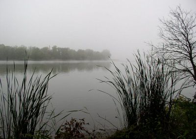
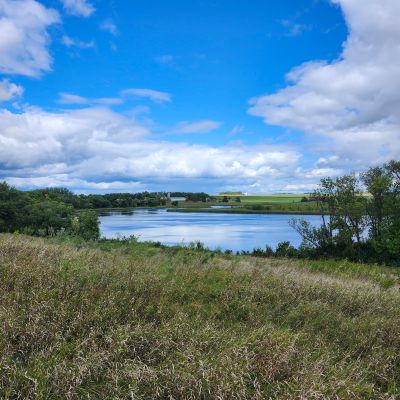
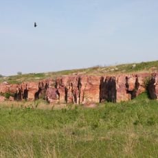
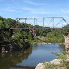
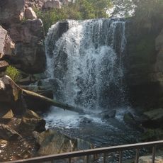
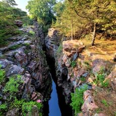
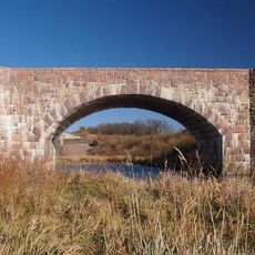
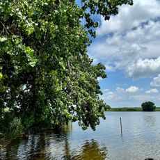
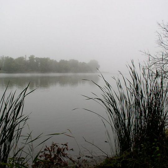
Split Rock Creek State Park is a natural area in Pipestone County that includes a lake, woodlands, and prairie grasslands along a creek. The park covers around 1,300 acres with Sioux quartzite rock formations that create the landscape visitors see when they walk through.

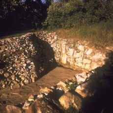
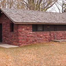
The park took its current shape in the 1930s when the Works Progress Administration built a dam from local quartzite stone. This project created a lake that opened up the area for recreation and allowed more people to visit and enjoy the land.

The park sits in land connected to the Dakota and other indigenous peoples who have long used this region. The rock formations and creek shape how visitors experience this place today and reflect its importance to local communities.

The park is located about 7 miles (11 kilometers) southwest of Pipestone and offers camping areas, trails for walking, fishing access, and swimming spots. Visitors arrive through the main entrance and can explore the different paths and activities from there.

The lake was shaped by three separate ice age periods that each left layers of sediment on the land. This makes it the largest body of water in the county and tells a story of the region's complex geological past.

The community of curious travelers

AroundUs brings together thousands of curated places, local tips, and hidden gems, enriched daily by 60,000 contributors worldwide.
Start exploring
Location
Inception
1937
Address
336 50th Ave, Jasper, MN 56144, USA
Opening Hours
星期一-星期日 08:00-22:00
Phone
GPS coordinates
43.89803,-96.36420
Latest update
September 4, 2026 16:31
Around this place
Pipestone National Monument
United States of America

Pipestone National Monument

8.3 mi
Blue Mounds State Park
United States of America

Blue Mounds State Park

15.3 mi
Palisades State Park
United States of America

Palisades State Park

16.4 mi
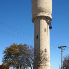
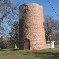
Pipestone Water Tower
United States of America

Pipestone Water Tower

7.6 mi
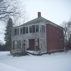
Pipestone Indian School Superintendent's House
United States of America

Pipestone Indian School Superintendent's House

8.8 mi
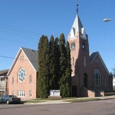
St. Peter's Lutheran Church
United States of America

St. Peter's Lutheran Church

18 mi
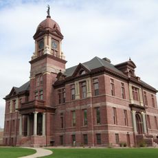
Pipestone County Courthouse
United States of America

Pipestone County Courthouse

7.2 mi
Palisades Bridge
United States of America

Palisades Bridge

16.4 mi
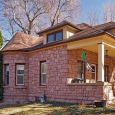
John Rowe House
United States of America

John Rowe House

3.6 mi
Dell Rapids Water Tower
United States of America

Dell Rapids Water Tower

17.9 mi
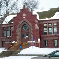
Pipestone Public Library
United States of America

Pipestone Public Library

7.3 mi
William G. Milne House
United States of America

William G. Milne House

17.8 mi
Gina Smith Campbell Bathhouse
United States of America

Gina Smith Campbell Bathhouse

17.7 mi
Blue Mounds State Park WPA/Rustic Style Historic Resources
United States of America

Blue Mounds State Park WPA/Rustic Style Historic Resources

15.4 mi
Winnewissa Falls
United States of America

Winnewissa Falls

8.4 mi
Devil's Gulch Park
United States of America

Devil's Gulch Park

13.8 mi
Split Rock Bridge
United States of America

Split Rock Bridge

0.4 mi
United States of America

World's Largest Peace Pipe

7.7 mi
United States of America

Civil War Monument

7.2 mi
Swim Beach
United States of America

Swim Beach

0.2 mi
United States of America

King & Queen Rock

16.5 mi
United States of America

Buffalo Viewing Platform

15.5 mi
United States of America

Scenic viewpoint

16.6 mi
United States of America

Scenic viewpoint

16.4 mi
United States of America

Spotted Quarry

8.3 mi
United States of America

Lake Haiwatha

8.3 mi
United States of America

Smooth Sumac

8.4 mi
United States of America

Inkpaduta Campsite

8.2 mi
Show the full map
Reviews
Share your experience

No review yet

Discussions
Start a discussion...

No discussion yet

« Split Rock Creek State Park - State park in Pipestone County, United States » is provided by Around Us (aroundus.com). Images and texts are derived from Wikimedia project under a Creative Commons license. You are allowed to copy, distribute, and modify copies of this page, under the conditions set by the license, as long as this note is clearly visible.

Discover hidden gems everywhere you go!

From secret cafés to breathtaking viewpoints, skip the crowded tourist spots and find places that match your style. Our app makes it easy with voice search, smart filtering, route optimization, and insider tips from travelers worldwide. Download now for the complete mobile experience.

Around Us App Screenshot

A unique approach to discovering new places

Le Figaro

All the places worth exploring

France Info

A tailor-made excursion in just a few clicks

20 Minutes

Around Us
Travel Guide & Maps
Download

Send to your phone

QR Code
1

Open the camera app on your mobile.

2

Point at the QR code with your camera. A notification will appear.

3

Tap the notification to open the link.