Turners Falls, census-designated place in Franklin County, Massachusetts
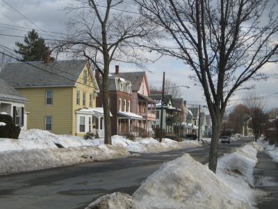
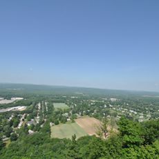
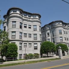
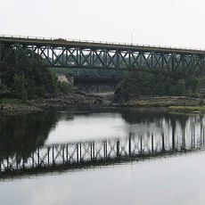
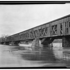
Turners Falls is a village in Massachusetts nestled along the Connecticut River, where historic waterfalls once powered industrial mills and factories. The place features restored brick buildings from the 1800s, tree-lined streets with shops and cafes, and a designated Cultural District that stretches along Avenue A with galleries, theaters, and community spaces.
Turners Falls was founded in 1868 as an industrial town after Alvah Crocker recognized the power of the waterfalls and planned a village around factories. The place attracted immigrants from Ireland, France, Poland, and Germany who worked in cutlery, paper, and other mills, turning it into a thriving hub by the late 1800s.
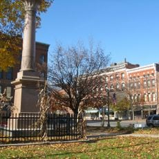
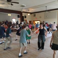
The village is named after Captain William Turner, a soldier from the late 1600s whose presence shaped the region's early history. Today, local artists have made the area their home, and you can see this creative spirit reflected in the galleries, festivals, and art shows that fill the community throughout the year.
The village is easy to explore on foot, with flat paved paths like the Canalside Rail Trail running about 3 miles along the historic canal and accessible for wheelchairs. Visitors can park easily and find museums, parks, and restaurants spread throughout the walkable streets without needing a car to get around.
The Shea Theater, a landmark from 1927, nearly faded from memory after closing until it was fully restored in 2016 and now hosts regular performances again. The Unity Skatepark is considered one of the best in the region and draws riders of all levels, giving the village a surprisingly modern and energetic side.
The community of curious travelers
AroundUs brings together thousands of curated places, local tips, and hidden gems, enriched daily by 60,000 contributors worldwide.