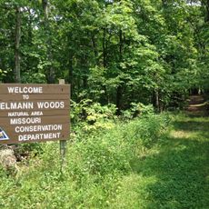
Weldon Spring Conservation Area, Conservation area in St. Charles County, Missouri, US.
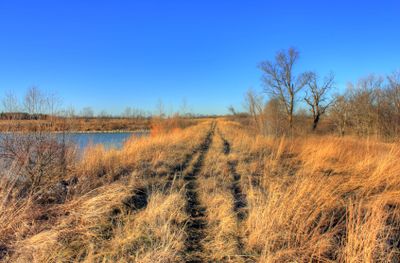
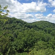
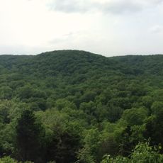
Weldon Spring Conservation Area is a protected space in St. Charles County covering around 8,400 acres along the Missouri River. The land contains forests, wetlands, grasslands, and agricultural fields that create a varied landscape with different habitats.
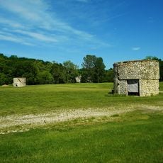
The land began as a Spanish Land Grant in 1796 and later served as a munitions plant during World War II. After the war ended, it was transformed and established as a conservation area in 1978.
The land serves as a place for learning about native wildlife and plants in their natural setting, with the Missouri Department of Conservation actively managing the area for education and research. Visitors encounter signs and programs that help them understand the ecological importance of the forests, wetlands, and grasslands they walk through.
The area offers a network of around 30 kilometers of trails, including the Lewis and Clark Trail System, making it easy to explore on foot. Parking areas are located along Highway 94 at multiple spots, giving visitors convenient access to different parts of the land.
Concrete bunkers used for TNT storage during munitions production still stand scattered within the area, serving as reminders of its military past. These structures from the war years remain in place as physical artifacts of the land's transformation.
The community of curious travelers
AroundUs brings together thousands of curated places, local tips, and hidden gems, enriched daily by 60,000 contributors worldwide.