
West Donegal Township, township in Lancaster County, Pennsylvania
Location: Lancaster County
Website: http://www.co.lancaster.pa.us/westdonegaltwp/site/default.asp
Website: http://co.lancaster.pa.us/westdonegaltwp/site/default.asp
GPS coordinates: 40.13333,-76.63306
Latest update: April 18, 2025 15:38
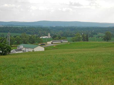
Chickies Ridge
13 km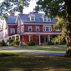
Cameron Estate
6.5 km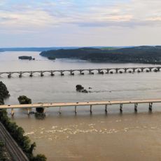
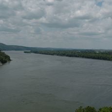
Wright's Ferry Bridge
14.3 km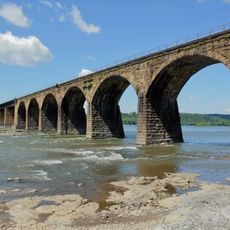
Shocks Mills Bridge
8 km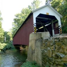
Siegrist's Mill Covered Bridge
15.2 km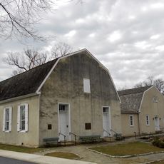
Donegal Presbyterian Church Complex
6.7 km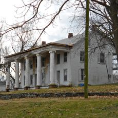
Donegal Mills Plantation
9.5 km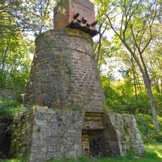
Codorus Forge and Furnace Historic District
9.4 km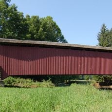
Forry's Mill Covered Bridge
15.2 km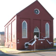
B'nai Jacob Synagogue
11.2 km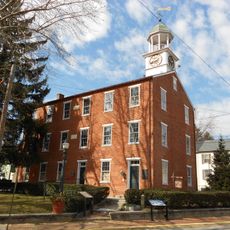
Marietta Historic District (Marietta, Pennsylvania)
10.7 km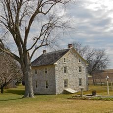
Byers-Muma House
8.7 km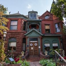
Charles and Joseph Raymond Houses
10.8 km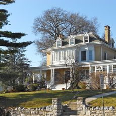
Chickies Historic District
10.6 km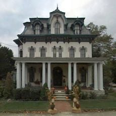
Grove Mansion
8.1 km
Adventure Sports in Hershey
11.5 km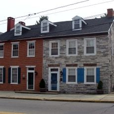
Simon Cameron House and Bank
11.1 km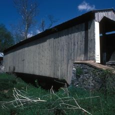
Risser's Mill Covered Bridge
10.9 km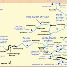
Codorus Navigation
8.4 km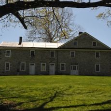
Locust Grove
6.5 km
Nissly Swiss Chocolate Company
9.3 km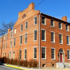
Linden House
11.3 km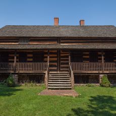
Swatara Ferry House
10.6 km
Henry Smith Farm
11.3 km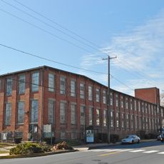
George Brown's Sons Cotton and Woolen Mill
11.9 km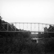
Bridge between East Manchester and Newberry Townships
9.2 km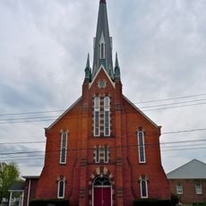
Wrightsville Historic District
15.1 km
Goldsboro Historic District
10.2 kmReviews
Visited this place? Tap the stars to rate it and share your experience / photos with the community! Try now! You can cancel it anytime.
Discover hidden gems everywhere you go!
From secret cafés to breathtaking viewpoints, skip the crowded tourist spots and find places that match your style. Our app makes it easy with voice search, smart filtering, route optimization, and insider tips from travelers worldwide. Download now for the complete mobile experience.

A unique approach to discovering new places❞
— Le Figaro
All the places worth exploring❞
— France Info
A tailor-made excursion in just a few clicks❞
— 20 Minutes