Chest opened
+${chestReward.xp} XP
Explorer
NOUVEAU ×${chestReward.collectible.quantity}
tapez pour fermer
Chest locked

Open chests in the app

Around Us is built for your phone — chests unlock when you walk, explore and capture nearby places.

Enable Location

We need your location to show you interesting places around you

Discover nearby places

Find interesting locations and hidden gems around you

Precise directions

Get accurate directions and distances to places

Your location is never shared with other users. It's only used when you tap the location button.

Log in to your account

Start exploring — it's free

Trusted by 73,073 travelers worldwide

Continue with Google
Continue with Apple
or

We will send you a code to connect

By continuing, you accept our Terms and Conditions and our Privacy Policy

Check your inbox

We've sent a pincode in your inbox. Please enter the code below.

West Side, Manchester, New Hampshire
Discussion Reviews Photo
2.9k Popularity

West Side, Manchester, New Hampshire, Residential district in Manchester, United States

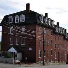
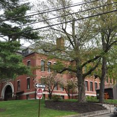
West Side is a residential district west of the Merrimack River that includes several interconnected neighborhoods like Rimmon Heights, Notre Dame, and Piscataquog. The area features single-family homes, local shops, and community spaces spread throughout its different quarters.

The area developed after the first city bridge was built in 1792 by the McGregor family, which led to early settlement growth in the region. In the 20th century, urban renewal projects reshaped the economic landscape and transformed how people lived and worked in these neighborhoods.

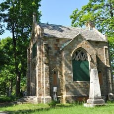
French Canadian settlers left a lasting mark on this area, visible in the buildings, street names, and community spaces that reflect their heritage. Many longtime residents and families have roots in these neighborhoods and maintain traditions connected to this past.

The Piscataquog Trail provides a direct pedestrian connection from this area to downtown Manchester via a bridge crossing the Merrimack River. This route makes it easy for visitors to move between the residential neighborhoods and the city center.

Two major economic centers, Granite Square and the Flat Iron District, were completely demolished between 1960 and 1980 during urban renewal. This large-scale transformation remains a defining moment in how the neighborhoods were rebuilt and reshaped.

The community of curious travelers

AroundUs brings together thousands of curated places, local tips, and hidden gems, enriched daily by 60,000 contributors worldwide.

Start exploring
Location
GPS coordinates
42.99500,-71.48170
Latest update
December 12, 2025 12:06
Around this place
Show the full map
Reviews
Share your experience

No review yet

Discussions
Start a discussion...

No discussion yet

« West Side, Manchester, New Hampshire - Residential district in Manchester, United States » is provided by Around Us (aroundus.com). Images and texts are derived from Wikimedia project under a Creative Commons license. You are allowed to copy, distribute, and modify copies of this page, under the conditions set by the license, as long as this note is clearly visible.

Discover hidden gems everywhere you go!

From secret cafés to breathtaking viewpoints, skip the crowded tourist spots and find places that match your style. Our app makes it easy with voice search, smart filtering, route optimization, and insider tips from travelers worldwide. Download now for the complete mobile experience.

Around Us App Screenshot

A unique approach to discovering new places

Le Figaro

All the places worth exploring

France Info

A tailor-made excursion in just a few clicks

20 Minutes

Around Us
Travel Guide & Maps
Download

Send to your phone

QR Code
1

Open the camera app on your mobile.

2

Point at the QR code with your camera. A notification will appear.

3

Tap the notification to open the link.