Willow Wall, human settlement in West Virginia, United States of America
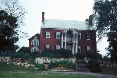
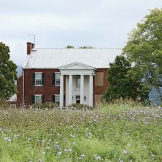
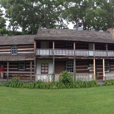
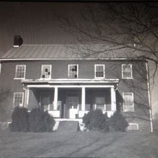
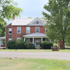
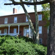
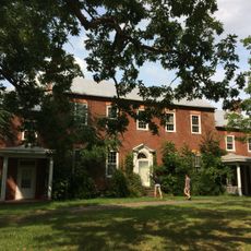
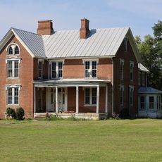
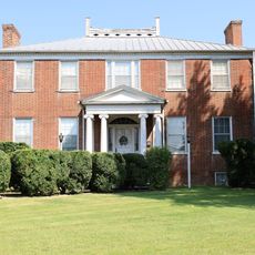
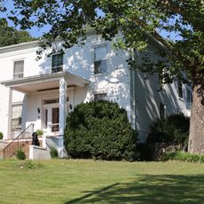
Willow Wall is a two-story brick house near Old Fields constructed in the early 1800s in Georgian-Tidewater style with a U-shaped plan, double-level porch, and Ionic columns. Both wings feature large Palladian windows in the upper gables, and interior walls are decorated with French hand-printed wallpaper.
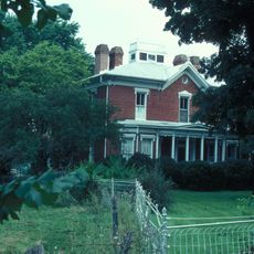
The property was first settled between 1760 and 1770 by Daniel McNeill and became an important family holding in the region. During the Civil War, the house served as a hospital for wounded soldiers and hosted McNeill's Rangers, while the Battle of Moorefield took place just outside the grounds in August 1864.
The name Willow Wall comes from the willow trees that once surrounded the property. The French hand-printed wallpaper inside reflects the refined tastes and cultural connections of the families who lived there.
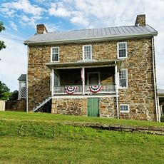
The house is located in a rural area near Old Fields and is easily accessible with signage to guide visitors. Guests should plan to respect the structures and allow time to explore the exterior, especially if visiting nearby historic sites such as Buena Vista Farms or Traveler's Rest.
A second-floor window marks the escape route of a Confederate general during the Battle of Moorefield, showing how he avoided capture. Daniel McNeill, who founded the estate, is buried in a grave across the road near a small pond, creating a personal link to the property.
The community of curious travelers
AroundUs brings together thousands of curated places, local tips, and hidden gems, enriched daily by 60,000 contributors worldwide.