Chest opened
+${chestReward.xp} XP
Explorer
NOUVEAU ×${chestReward.collectible.quantity}
tapez pour fermer
Chest locked

Open chests in the app

Around Us is built for your phone — chests unlock when you walk, explore and capture nearby places.

Enable Location

We need your location to show you interesting places around you

Discover nearby places

Find interesting locations and hidden gems around you

Precise directions

Get accurate directions and distances to places

Your location is never shared with other users. It's only used when you tap the location button.

Rosegill

Log in to your account

Start exploring — it's free

Trusted by 72,887 travelers worldwide

Continue with Google
Continue with Apple
or

We will send you a code to connect

By continuing, you accept our Terms and Conditions and our Privacy Policy

Check your inbox

We've sent a pincode in your inbox. Please enter the code below.

Discussion Reviews 1 Photos
1.3k Popularity

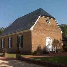
Rosegill, human settlement in Virginia, United States of America

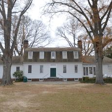
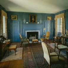
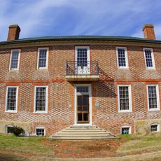
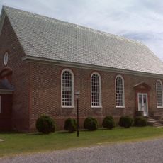
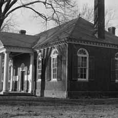
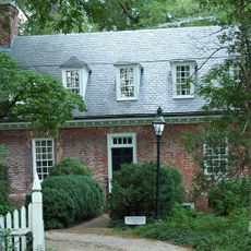
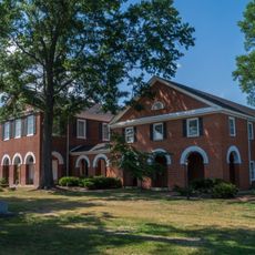
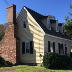
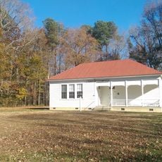
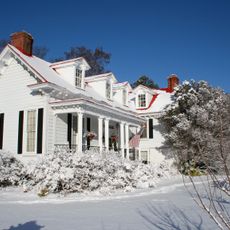
Rosegill is a large plantation estate near Urbanna that was founded in 1649 and is now protected as a historic site. The main house features a U-shaped design with a gambrel roof dating to the early 1700s, while supporting structures such as a washhouse, kitchen, and storage building surround it on the grounds.

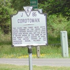
Ralph Wormeley I established the estate in 1649 on 3,200 acres of land for plantation agriculture. His grandson Ralph Wormeley II expanded it in the 1700s, transforming it into a major residence that housed one of Virginia's most influential colonial families.

Rosegill served as a center of influence for the Wormeley family, one of the most prominent planter families in colonial Virginia. The scale and design of the property reflected the wealth and social standing that such estates commanded in early colonial society.

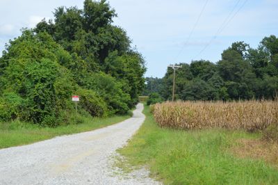
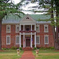
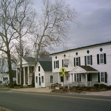
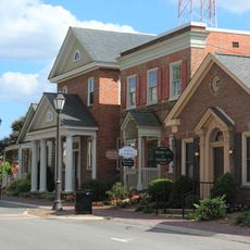
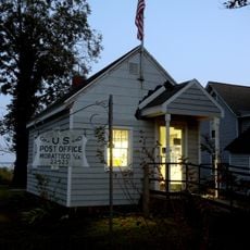
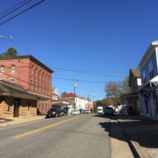
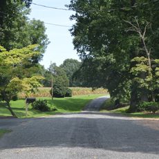
The property is privately owned, so visitors can view parts of it only from the roadside. To learn more about the estate, explore the nearby town of Urbanna, where a museum and visitor center offer information about the plantation's history and the surrounding region.

Archaeologists have identified the remains of roughly twenty colonial buildings on the site, though only a few are visible today. The underground traces of these structures allow researchers to better understand life and economy on a colonial plantation.

The community of curious travelers

AroundUs brings together thousands of curated places, local tips, and hidden gems, enriched daily by 60,000 contributors worldwide.

Start exploring
Location
GPS coordinates
37.62750,-76.56580
Latest update
February 9, 2026 07:46
Around this place
Corotoman
United States of America

Corotoman

11.2 km
Robert O. Norris Bridge
United States of America

Robert O. Norris Bridge

12.6 km
Belle Isle State Park
United States of America

Belle Isle State Park

16.6 km
Toddsbury
United States of America

Toddsbury

23.7 km
Lower Church
United States of America

Lower Church

12.5 km
USS Aquamarine
United States of America

USS Aquamarine

12.3 km
Lancaster Court House Historic District
United States of America

Lancaster Court House Historic District

18.2 km
Chelsea
United States of America

Chelsea

23.5 km
Lansdowne
United States of America

Lansdowne

1.4 km
Mary Ball Washington Museum and Library
United States of America

Mary Ball Washington Museum and Library

18.1 km
F.D. Crockett
United States of America

F.D. Crockett

22.7 km
Bells Rock Light
United States of America

Bells Rock Light

22.8 km
Gloucester Downtown Historic District
United States of America

Gloucester Downtown Historic District

24.1 km
Upper Church, Stratton Major Parish
United States of America

Upper Church, Stratton Major Parish

18.3 km
Gloucester County Courthouse Square Historic District
United States of America

Gloucester County Courthouse Square Historic District

23.9 km
Sandwich
United States of America

Sandwich

1.4 km
Middlesex County Courthouse
United States of America

Middlesex County Courthouse

3.5 km
West Point Historic District
United States of America

West Point Historic District

23 km
Village of Morattico Historic District
United States of America

Village of Morattico Historic District

18.8 km
Urbanna Historic District
United States of America

Urbanna Historic District

1.2 km
Wormeley Cottage
United States of America

Wormeley Cottage

1.4 km
Middlesex County Courthouse
United States of America

Middlesex County Courthouse

1.3 km
Bluff Point Graded School No. 3
United States of America

Bluff Point Graded School No. 3

22.2 km
Kempsville
United States of America

Kempsville

9.8 km
Steuart Blakemore Building
United States of America

Steuart Blakemore Building

18.2 km
Kenwood
United States of America

Kenwood

23.4 km
Clifton
United States of America

Clifton

19.7 km
Deltaville Maritime Museum
United States of America

Deltaville Maritime Museum

22.9 km
Show the full map
Reviews
Share your experience

No review yet

Discussions
Start a discussion...

No discussion yet

« Rosegill - human settlement in Virginia, United States of America » is provided by Around Us (aroundus.com). Images and texts are derived from Wikimedia project under a Creative Commons license. You are allowed to copy, distribute, and modify copies of this page, under the conditions set by the license, as long as this note is clearly visible.

Discover hidden gems everywhere you go!

From secret cafés to breathtaking viewpoints, skip the crowded tourist spots and find places that match your style. Our app makes it easy with voice search, smart filtering, route optimization, and insider tips from travelers worldwide. Download now for the complete mobile experience.

Around Us App Screenshot

A unique approach to discovering new places

Le Figaro

All the places worth exploring

France Info

A tailor-made excursion in just a few clicks

20 Minutes

Around Us
Travel Guide & Maps
Download

Send to your phone

QR Code
1

Open the camera app on your mobile.

2

Point at the QR code with your camera. A notification will appear.

3

Tap the notification to open the link.