
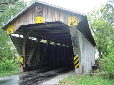
Chambers Road Covered Bridge
Location: Delaware County
GPS coordinates: 40.33810,-82.81810
Latest update: September 23, 2025 16:46
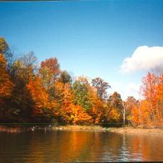
Alum Creek State Park
21 km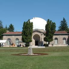
Perkins Observatory
22.4 km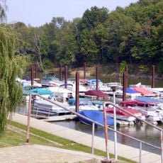
Delaware State Park
21.4 km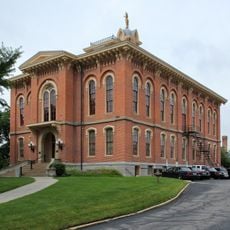
Delaware County Courthouse
21.6 km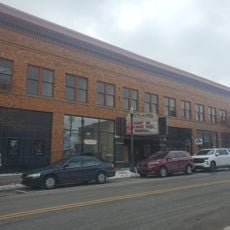
Strand Theatre
21.5 km
Spruce Run Earthworks
18.3 km
Activism at Ohio Wesleyan University
21.6 km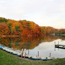
Mount Gilead State Park
23.6 km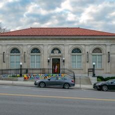
Richard Ross Museum of Art
21.7 km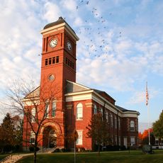
Morrow County Courthouse
23.5 km
Austin Hall
22.3 km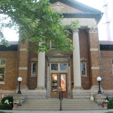
Delaware Public Library
21.4 km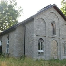
Stratford Methodist Episcopal Church
22.8 km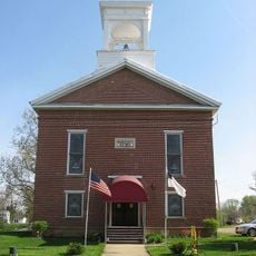
Chesterville Community Church
19.5 km
Chester Town Hall
19.5 km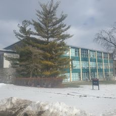
Schimmel-Conrades Science Center
21.5 km
Jain Center of Central Ohio
22.5 km
Levering Hall
23.4 km
Capitol Theatre
23.5 km
Selover Public Library
19.5 km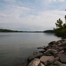
Delaware Lake
20.5 km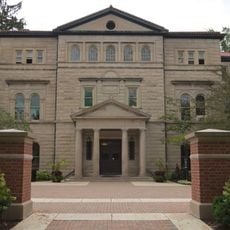
Slocum Hall
21.6 km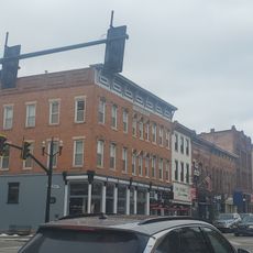
Sandusky Street Historic District
21.6 km
Delaware County District Library
21.3 km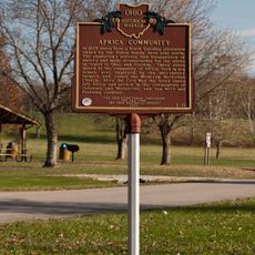
Africa Community
21.1 km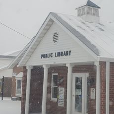
Cardington-lincoln Public Library
19.2 km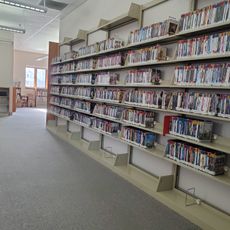
Mt Gilead Public Library
23.5 km
Community & Family Outreach Services Bs
21.3 kmReviews
Visited this place? Tap the stars to rate it and share your experience / photos with the community! Try now! You can cancel it anytime.
Discover hidden gems everywhere you go!
From secret cafés to breathtaking viewpoints, skip the crowded tourist spots and find places that match your style. Our app makes it easy with voice search, smart filtering, route optimization, and insider tips from travelers worldwide. Download now for the complete mobile experience.

A unique approach to discovering new places❞
— Le Figaro
All the places worth exploring❞
— France Info
A tailor-made excursion in just a few clicks❞
— 20 Minutes