
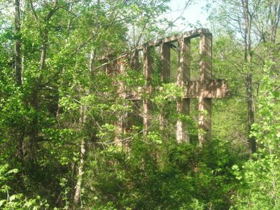
Laurel Mills Historic District
Laurel Mills Historic District, historic district in Rappahannock County, Virginia
Location: Rappahannock County
GPS coordinates: 38.65139,-78.08833
Latest update: March 11, 2025 12:22
Thornton Gap
20.2 km
Battle Mountain
2.5 km
Marys Rock Tunnel
19.4 km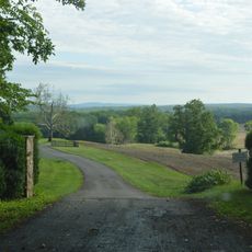
Farley (Culpeper County, Virginia)
20.8 km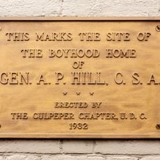
A. P. Hill Boyhood Home
21.4 km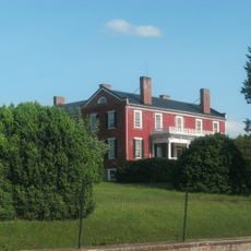
Ben Venue
8.1 km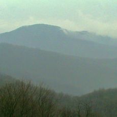
Pignut Mountain
17 km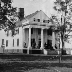
Auburn
21.5 km
Maple Springs
18.8 km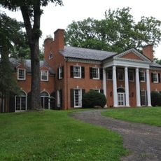
The Oaks
21.2 km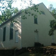
Mount Salem Baptist Meetinghouse
3.6 km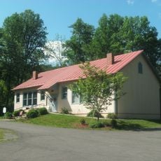
Scrabble School
9.2 km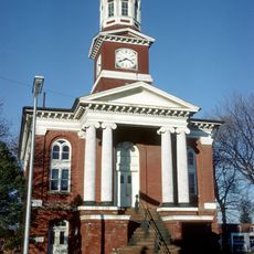
Culpeper Historic District
21.5 km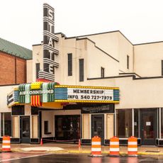
State Theatre
21.4 km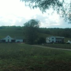
Meadow Grove Farm
3.3 km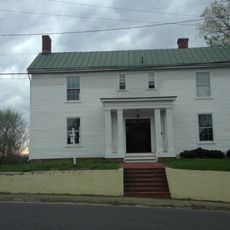
Slaughter-Hill House
21.2 km
Sunnyside
12 km
Hume Historic District
21.5 km
Calvert Mill/Washington Mill
8.8 km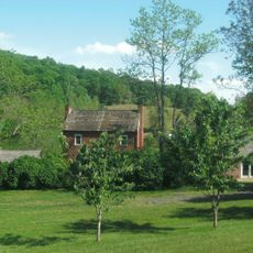
George L. Carder House
7.2 km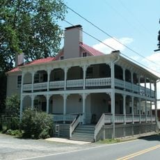
Sperryville Historic District
12.1 km
Washington Historic District (Washington, Virginia)
9.3 km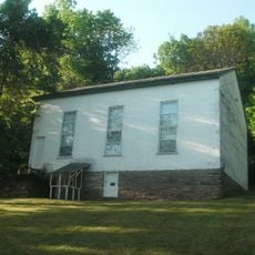
Ben Venue Rural Historic District
8.1 km
Locust Grove/R.E. Luttrell Farmstead
9.5 km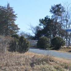
Elmwood
12 km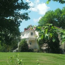
John W. Miller House
15.5 km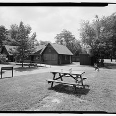
Elkwallow Wayside
21.5 km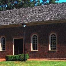
Little Fork Church
12.9 kmReviews
Visited this place? Tap the stars to rate it and share your experience / photos with the community! Try now! You can cancel it anytime.
Discover hidden gems everywhere you go!
From secret cafés to breathtaking viewpoints, skip the crowded tourist spots and find places that match your style. Our app makes it easy with voice search, smart filtering, route optimization, and insider tips from travelers worldwide. Download now for the complete mobile experience.

A unique approach to discovering new places❞
— Le Figaro
All the places worth exploring❞
— France Info
A tailor-made excursion in just a few clicks❞
— 20 Minutes