Rappahannock County

Log in to your account

AroundUs is a community-driven map of interesting places, built by curious explorers like you. It grows with every review, story, and photo you share.
Connect to save your favorite spots, contribute locations, and create personalized routes.
Continue with Google
Continue with Apple
Continue with X
Continue with Facebook
Continue with email
By continuing, you accept our Terms and Conditions and our Privacy Policy
Create an account
Add to collection
Map
Suggest a change
Share

Rappahannock County, County in Virginia, United States

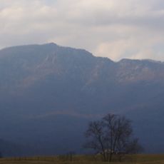
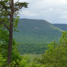
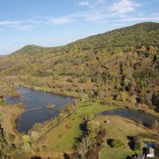
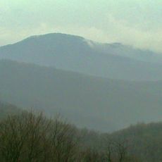
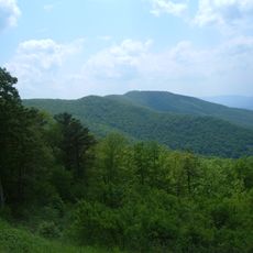
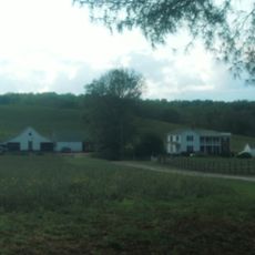
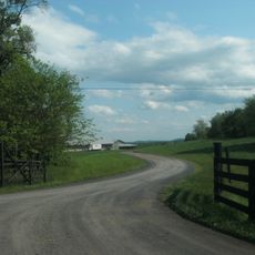
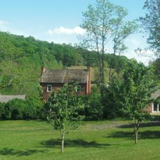
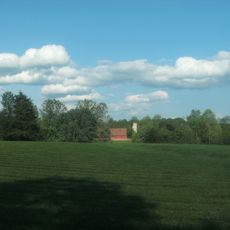
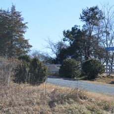
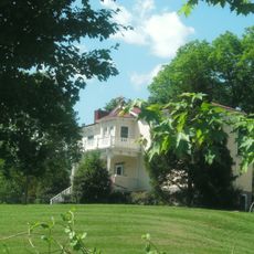
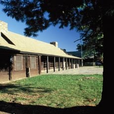
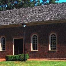
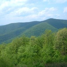
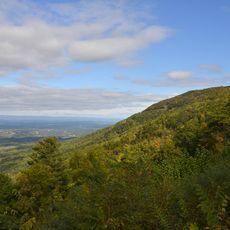
Rappahannock County is a rural area in northern Virginia with rolling hills, farmland, and portions of the Blue Ridge Mountains across its landscape. The terrain shows a mix of cultivated fields, forests, and mountain ridges that define the region.

The Virginia General Assembly created this county in 1833 by separating it from Culpeper County to serve the growing population in the north. This division reflected the need to manage the expanding settlement in the region.

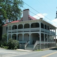
Farming shapes daily life in this area, with regular farmers markets and seasonal fairs where locals sell produce and connect with their heritage. The sight of working farms and rural communities reflects traditions passed down through generations.

The county office in Washington handles property taxes, zoning, and residential permits for the area. Most administrative services are available online for easier access and inquiries.

The name comes from an Algonquian word meaning a river with rapidly rising water levels, reflecting the area's natural water patterns. This origin reveals how the region was named after its distinctive hydrological features.

Location: Virginia

Inception: 1833

Capital city: Washington

Part of: Washington–Arlington–Alexandria metropolitan division

Shares border with: Fauquier County, Page County, Warren County, Madison County, Culpeper County

Website: http://rappahannockcountyva.gov

GPS coordinates: 38.69000,-78.17000

Latest update: December 15, 2025 13:21

Photos
Around this place
Old Rag Mountain
United States of America

Old Rag Mountain

19.8 km
Thornton Gap
United States of America

Thornton Gap

13.4 km
Shenandoah River Raymond R. "Andy" Guest Jr. State Park
United States of America

Shenandoah River Raymond R. "Andy" Guest Jr. State Park

21.8 km
Battle Mountain
United States of America

Battle Mountain

10.2 km
Marys Rock Tunnel
United States of America

Marys Rock Tunnel

13 km
Ben Venue
United States of America

Ben Venue

9.8 km
Pignut Mountain
United States of America

Pignut Mountain

8.8 km
Mountain House
United States of America

Mountain House

20.7 km
Neighbor Mountain
United States of America

Neighbor Mountain

16.6 km
Mount Salem Baptist Meetinghouse
United States of America

Mount Salem Baptist Meetinghouse

5.2 km
Scrabble School
United States of America

Scrabble School

11.9 km
Meadow Grove Farm
United States of America

Meadow Grove Farm

7.9 km
Sunnyside
United States of America

Sunnyside

5.9 km
Hume Historic District
United States of America

Hume Historic District

21.7 km
Calvert Mill/Washington Mill
United States of America

Calvert Mill/Washington Mill

2.9 km
George L. Carder House
United States of America

George L. Carder House

10.4 km
Sperryville Historic District
United States of America

Sperryville Historic District

6.1 km
Washington Historic District (Washington, Virginia)
United States of America

Washington Historic District (Washington, Virginia)

2.8 km
Ben Venue Rural Historic District
United States of America

Ben Venue Rural Historic District

9.8 km
Locust Grove/R.E. Luttrell Farmstead
United States of America

Locust Grove/R.E. Luttrell Farmstead

15.5 km
Elmwood
United States of America

Elmwood

16.7 km
John W. Miller House
United States of America

John W. Miller House

17.7 km
Laurel Mills Historic District
United States of America

Laurel Mills Historic District

8.3 km
Elkwallow Wayside
United States of America

Elkwallow Wayside

13.2 km
Dickey Ridge Visitor Center
United States of America

Dickey Ridge Visitor Center

20.5 km
Little Fork Church
United States of America

Little Fork Church

21.2 km
Knob Mountain
United States of America

Knob Mountain

16.1 km
Gooney Run Overlook
United States of America

Gooney Run Overlook

17.3 km
Show the full map
Reviews

Visited this place? Tap the stars to rate it and share your experience / photos with the community! Try now! You can cancel it anytime.

Administrative divisions
« Rappahannock County - County in Virginia, United States » is provided by Around Us (aroundus.com). Images and texts are derived from Wikimedia project under a Creative Commons license. You are allowed to copy, distribute, and modify copies of this page, under the conditions set by the license, as long as this note is clearly visible.

Discover hidden gems everywhere you go!

From secret cafés to breathtaking viewpoints, skip the crowded tourist spots and find places that match your style. Our app makes it easy with voice search, smart filtering, route optimization, and insider tips from travelers worldwide. Download now for the complete mobile experience.

Around Us App Screenshot

A unique approach to discovering new places

Le Figaro

All the places worth exploring

France Info

A tailor-made excursion in just a few clicks

20 Minutes