
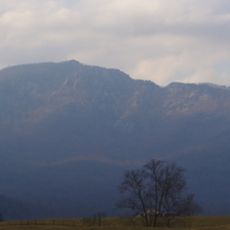
Montpelier, human settlement in United States of America
Location: Rappahannock County
GPS coordinates: 38.58778,-78.23000
Latest update: April 5, 2025 00:30

Old Rag Mountain
8.4 km
Thornton Gap
11.3 km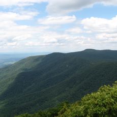
Stony Man Mountain
12.4 km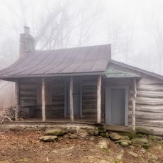
Corbin Cabin
10.1 km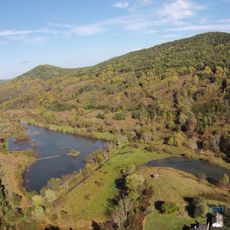
Battle Mountain
16.7 km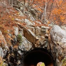
Marys Rock Tunnel
10.2 km
Pignut Mountain
14.8 km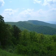
Neighbor Mountain
16.5 km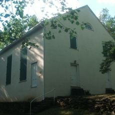
Mount Salem Baptist Meetinghouse
11.5 km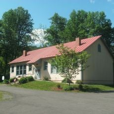
Scrabble School
7 km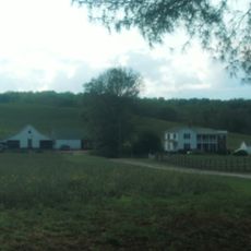
Meadow Grove Farm
16.6 km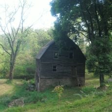
Calvert Mill/Washington Mill
15.4 km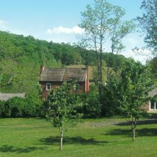
George L. Carder House
8.2 km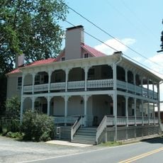
Sperryville Historic District
7.7 km
Abram and Sallie Printz Farm
15.8 km
Washington Historic District (Washington, Virginia)
15.4 km
Gentle Site
16.9 km
Elmwood
10.9 km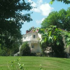
John W. Miller House
7.8 km
Laurel Mills Historic District
14.2 km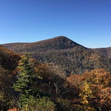
Hawksbill Mountain
14.8 km
Massanutten Lodge
13.3 km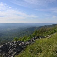
Franklin Cliffs Overlook
17.4 km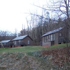
Wildwood Cabin
13.2 km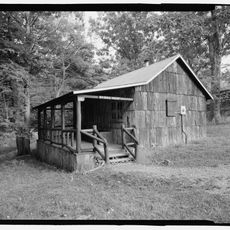
Byrd's Nest
13.2 km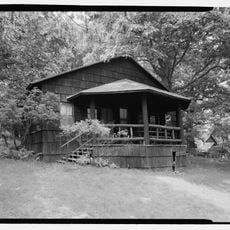
Boulder Cabin
13.1 km
Dogwood Cabin
13.2 km
Hemlock Cabin
13.2 kmReviews
Visited this place? Tap the stars to rate it and share your experience / photos with the community! Try now! You can cancel it anytime.
Discover hidden gems everywhere you go!
From secret cafés to breathtaking viewpoints, skip the crowded tourist spots and find places that match your style. Our app makes it easy with voice search, smart filtering, route optimization, and insider tips from travelers worldwide. Download now for the complete mobile experience.

A unique approach to discovering new places❞
— Le Figaro
All the places worth exploring❞
— France Info
A tailor-made excursion in just a few clicks❞
— 20 Minutes