
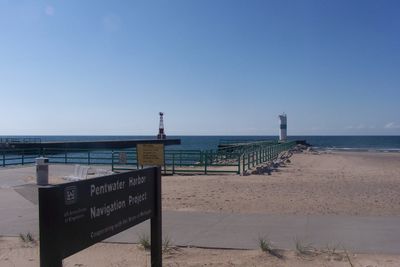
Navigation Structures at Pentwater Harbor

SS Badger
18.7 km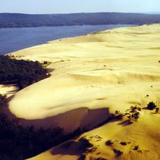
Silver Lake State Park
12.7 km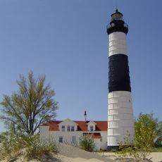
Big Sable Point Light
31.4 km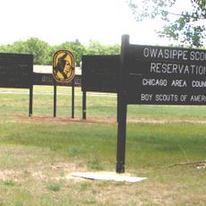
Owasippe Scout Reservation
44.6 km
Duck Lake State Park
48.4 km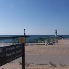
Mears State Park
357 m
Marlborough Historic District
49.2 km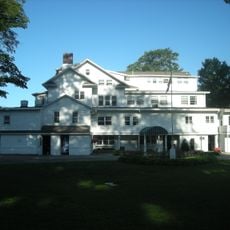
Michillinda Lodge
47.9 km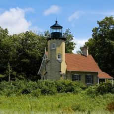
White River Light
45.2 km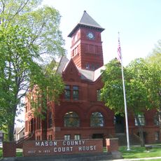
Mason County Courthouse
19.4 km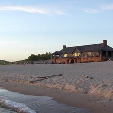
Ludington State Park Beach House
28.5 km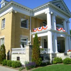
Warren A. and Catherine Cartier House
19.5 km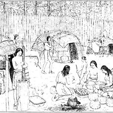
Dumaw Creek Site
6.1 km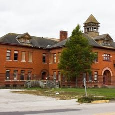
Scottville School
23.4 km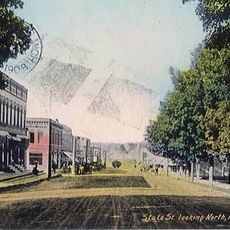
Hart Downtown Historic District
10.7 km
Jared H. Gay House
16.3 km
Charles Mears Silver Lake Boardinghouse
16 km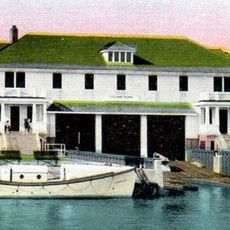
Ludington United States Coast Guard Station
19.3 km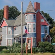
East Ludington Avenue Historic District
19.5 km
John C. and Augusta Lewis House
42.3 km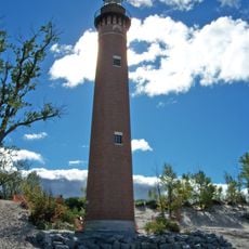
Little Sable Point Light
16.5 km
Thoroughbred Golf Club
27.9 km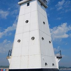
Ludington Light
19.4 km
Ludington State Park
29.4 km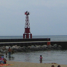
Pentwater South Pierhead Light
325 m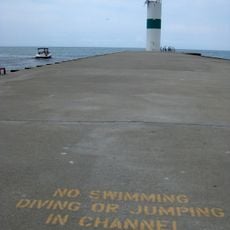
Pentwater North Pierhead Light
345 m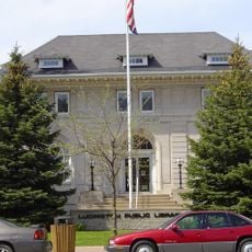
Ludington Public Library
19.5 km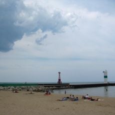
Pentwater Light
325 mReviews
Visited this place? Tap the stars to rate it and share your experience / photos with the community! Try now! You can cancel it anytime.
Discover hidden gems everywhere you go!
From secret cafés to breathtaking viewpoints, skip the crowded tourist spots and find places that match your style. Our app makes it easy with voice search, smart filtering, route optimization, and insider tips from travelers worldwide. Download now for the complete mobile experience.

A unique approach to discovering new places❞
— Le Figaro
All the places worth exploring❞
— France Info
A tailor-made excursion in just a few clicks❞
— 20 Minutes