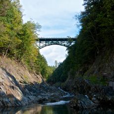
Quechee Gorge, Natural gorge in Quechee, United States
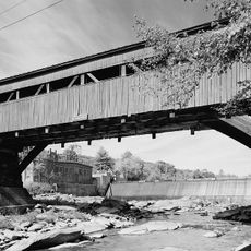
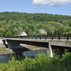
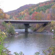
Quechee Gorge is a natural canyon carved by the Ottauquechee River over thousands of years, with sheer rock walls rising about 165 feet on either side. The river still flows through this narrow cut in the earth, with dense forest covering the rim and slopes.
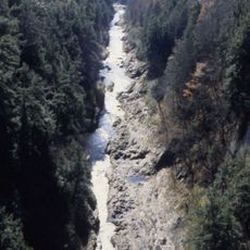
Glacial forces about 13,000 years ago shaped this river channel during the last ice age, breaking and redirecting the flow of water through the landscape. After the ice melted, the river settled into its current path and has continued cutting deeper into the bedrock over thousands of years.
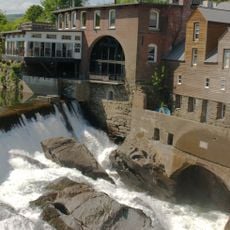
The name comes from an Abenaki word meaning "fast water," a reference to the river's rushing current through the canyon. Visitors walking the area still notice remnants of the mill economy that once shaped this community.
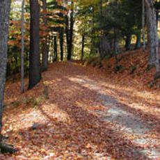
The state park offers maintained trails that pass multiple viewpoints, allowing for both short strolls and longer walks through the forest. Wear sturdy shoes and come prepared for uneven paths, especially after rain.
The gorge reaches its deepest point not at its most famous viewpoint, but at a less-visited spot downstream where the water cuts through even narrower walls. Most visitors miss this hidden spot and photograph the shallower, more accessible bridge view instead.
The community of curious travelers
AroundUs brings together thousands of curated places, local tips, and hidden gems, enriched daily by 60,000 contributors worldwide.