Marsh-Billings-Rockefeller National Historical Park

Log in to your account

AroundUs is a community-driven map of interesting places, built by curious explorers like you. It grows with every review, story, and photo you share.
Connect to save your favorite spots, contribute locations, and create personalized routes.
Continue with Google
Continue with Apple
Continue with X
Continue with Facebook
Continue with email
By continuing, you accept our Terms and Conditions and our Privacy Policy
Create an account
Add to collection
Map
Suggest a change
Share

Marsh-Billings-Rockefeller National Historical Park, Conservation park in Windsor County, Vermont, United States.

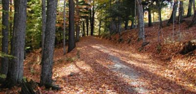
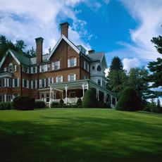
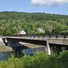
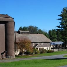
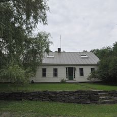
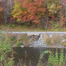
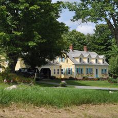
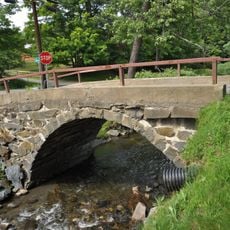
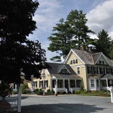
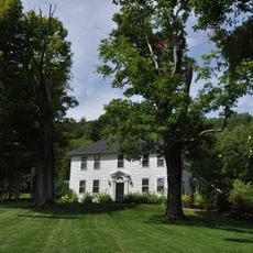
Marsh-Billings-Rockefeller National Historical Park spans 550 acres of managed forest with carriage roads and hiking trails that wind through the property. A restored 19th-century mansion sits at the center, filled with artwork and environmental history exhibits that interpret the land's development over time.

George Perkins Marsh established the property in the 1860s, and Frederick Billings later expanded it with pioneering forest management techniques. Laurance Rockefeller further refined these practices before donating the estate to the National Park Service, cementing its role in American conservation history.

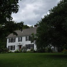
The mansion displays personal collections and everyday objects from three generations, showing how inhabitants shaped their land while maintaining farming practices tied to the surrounding forests.

The Visitor Center in the Carriage Barn opens from late spring through fall, with mansion tours requiring advance booking to ensure a spot. The carriage roads and forest trails remain accessible year-round, though winter conditions can make walking more challenging.

The forest here is one of North America's oldest continuously managed woodlands, where 19th-century forestry methods shaped the landscape visitors walk through today. This living demonstration shows what early scientific land management looked like in practice.

Location: Windsor County

Inception: August 26, 1992

Elevation above the sea: 337 m

Website: https://nps.gov/mabi

GPS coordinates: 43.63333,-72.53472

Latest update: December 7, 2025 20:44

Photos
Around this place
Quechee Gorge
United States of America

Quechee Gorge

10.4 km
Jenne Farm
United States of America

Jenne Farm

12.3 km
Quechee Gorge Bridge
United States of America

Quechee Gorge Bridge

10.2 km
Quechee State Park
United States of America

Quechee State Park

10.8 km
Taftsville Covered Bridge
United States of America

Taftsville Covered Bridge

5.4 km
George Perkins Marsh Boyhood Home
United States of America

George Perkins Marsh Boyhood Home

1.4 km
Silver Lake State Park
United States of America

Silver Lake State Park

12.8 km
Lincoln Covered Bridge
United States of America

Lincoln Covered Bridge

4.6 km
Taftsville Historic District
United States of America

Taftsville Historic District

4.9 km
King Farm
United States of America

King Farm

1.7 km
West Woodstock Bridge
United States of America

West Woodstock Bridge

2.2 km
West Hartford Bridge
United States of America

West Hartford Bridge

12.8 km
Quechee Historic Mill District
United States of America

Quechee Historic Mill District

9.5 km
Damon Hall
United States of America

Damon Hall

14.9 km
Billings Farm Museum
United States of America

Billings Farm Museum

1.6 km
Aiken Stand Complex
United States of America

Aiken Stand Complex

11.9 km
Jedediah Strong II House
United States of America

Jedediah Strong II House

10.9 km
Woodstock Warren Through Truss Bridge
United States of America

Woodstock Warren Through Truss Bridge

5.7 km
Abbott Memorial Library
United States of America

Abbott Memorial Library

3.5 km
Dewey House
United States of America

Dewey House

10.5 km
Saddlebow Farm
United States of America

Saddlebow Farm

7.1 km
Charles Marsh Law Office
United States of America

Charles Marsh Law Office

2.4 km
Ottauquechee River Bridge
United States of America

Ottauquechee River Bridge

14.9 km
Bridgewater Corners Bridge
United States of America

Bridgewater Corners Bridge

11.1 km
Kendron Brook Bridge
United States of America

Kendron Brook Bridge

6 km
Wales N. Johnson House
United States of America

Wales N. Johnson House

2.7 km
Rev. George Daman House
United States of America

Rev. George Daman House

3.6 km
Joseph and Daniel Marsh House
United States of America

Joseph and Daniel Marsh House

10.4 km
Show the full map
Reviews

Visited this place? Tap the stars to rate it and share your experience / photos with the community! Try now! You can cancel it anytime.

« Marsh-Billings-Rockefeller National Historical Park - Conservation park in Windsor County, Vermont, United States » is provided by Around Us (aroundus.com). Images and texts are derived from Wikimedia project under a Creative Commons license. You are allowed to copy, distribute, and modify copies of this page, under the conditions set by the license, as long as this note is clearly visible.

Discover hidden gems everywhere you go!

From secret cafés to breathtaking viewpoints, skip the crowded tourist spots and find places that match your style. Our app makes it easy with voice search, smart filtering, route optimization, and insider tips from travelers worldwide. Download now for the complete mobile experience.

Around Us App Screenshot

A unique approach to discovering new places

Le Figaro

All the places worth exploring

France Info

A tailor-made excursion in just a few clicks

20 Minutes