Windsor County

Log in to your account

AroundUs is a community-driven map of interesting places, built by curious explorers like you. It grows with every review, story, and photo you share.
Connect to save your favorite spots, contribute locations, and create personalized routes.
By continuing, you accept our Terms and Conditions and our Privacy Policy
Add to collection
Map
Suggest a change
Share

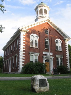
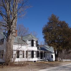
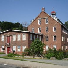
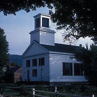
Windsor County, County administration center in Woodstock, Vermont.

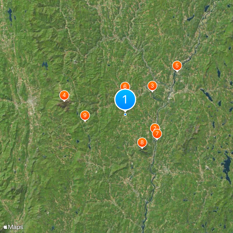
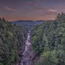
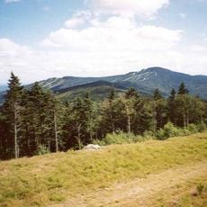
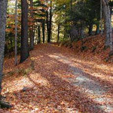
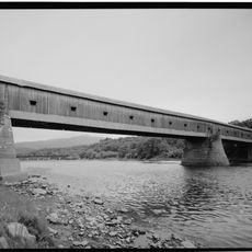
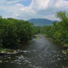
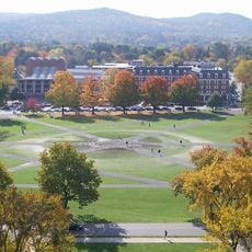
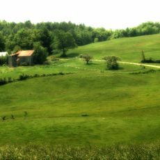
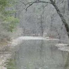
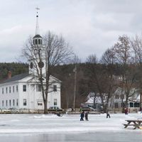
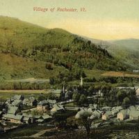
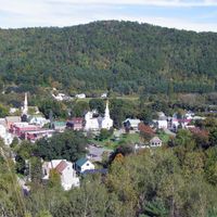
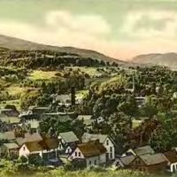
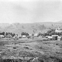
Windsor County is an administrative division in Vermont that spans roughly 977 square miles and includes 24 towns. The landscape is defined by mountains, rivers, and forests that lie between the Connecticut River and the Green Mountains.

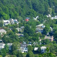
The county was established in 1781 as the region organized its administrative structure. Woodstock was chosen as the seat of government to handle the area's official and judicial matters.

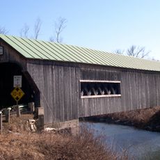
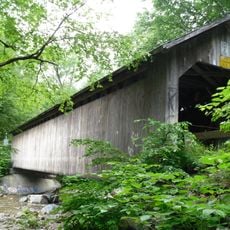
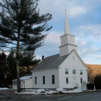
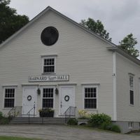
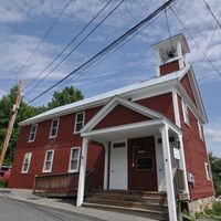
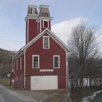
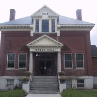
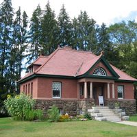
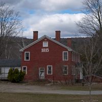
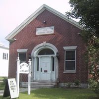
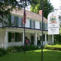
The county preserves rural traditions through museums and historical societies that document how earlier generations lived and worked. You can see these connections to the past displayed throughout the small towns and community spaces.

Interstate 91 runs north to south through the county and connects the main towns together. This highway makes it easy to reach neighboring areas in Vermont and New Hampshire.

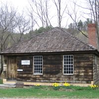
Within this county lies the Plymouth Notch Historic District, where former US President Calvin Coolidge grew up. His birthplace and the rooms from his childhood are still preserved there for visitors to explore.

Location: Vermont

Inception: 1781

Capital city: Woodstock

Shares border with: Orange County, Grafton County, Sullivan County, Windham County, Bennington County, Rutland County, Addison County

Website: http://swcrpc.org

GPS coordinates: 43.55827,-72.53299

Latest update: December 7, 2025 10:03

Photos
Around this place
Juniper Hill Farm-Maxwell Evarts House
United States of America

Juniper Hill Farm-Maxwell Evarts House

13.4 km
Quechee Gorge
United States of America

Quechee Gorge

13.5 km
Killington Peak
United States of America

Killington Peak

23.7 km
The Epic of American Civilization
United States of America

The Epic of American Civilization

25.6 km
Marsh-Billings-Rockefeller National Historical Park
United States of America

Marsh-Billings-Rockefeller National Historical Park

8.4 km
Cornish–Windsor Covered Bridge
United States of America

Cornish–Windsor Covered Bridge

15.3 km
Mount Ascutney
United States of America

Mount Ascutney

14.2 km
Coolidge Homestead
United States of America

Coolidge Homestead

15.5 km
The Green
United States of America

The Green

25.5 km
Joseph Smith Birthplace Memorial
United States of America

Joseph Smith Birthplace Memorial

29.9 km
Fort at Number 4
United States of America

Fort at Number 4

34.7 km
Memorial Field
United States of America

Memorial Field

25.6 km
Saint-Gaudens National Historical Park
United States of America

Saint-Gaudens National Historical Park

14.8 km
Hopkins Center for the Arts
United States of America

Hopkins Center for the Arts

25.3 km
Stellafane Observatory
United States of America

Stellafane Observatory

31.2 km
Hood Museum of Art
United States of America

Hood Museum of Art

25.4 km
American Precision Museum
United States of America

American Precision Museum

14.9 km
Weston Priory
United States of America

Weston Priory

32.3 km
Jenne Farm
United States of America

Jenne Farm

4.3 km
Baker-Berry Library
United States of America

Baker-Berry Library

25.6 km
Vermontasaurus
United States of America

Vermontasaurus

43 km
Quechee Gorge Bridge
United States of America

Quechee Gorge Bridge

13.4 km
Pico Peak
United States of America

Pico Peak

26.1 km
Ledyard Bridge
United States of America

Ledyard Bridge

24.8 km
Ompompanoosuc River
United States of America

Ompompanoosuc River

32.6 km
Bartonsville Covered Bridge
United States of America

Bartonsville Covered Bridge

37.2 km
Cheshire Bridge
United States of America

Cheshire Bridge

34.2 km
Brown Covered Bridge
United States of America

Brown Covered Bridge

31.2 km
Show the full map
Reviews

Visited this place? Tap the stars to rate it and share your experience / photos with the community! Try now! You can cancel it anytime.

« Windsor County - County administration center in Woodstock, Vermont » is provided by Around Us (aroundus.com). Images and texts are derived from Wikimedia project under a Creative Commons license. You are allowed to copy, distribute, and modify copies of this page, under the conditions set by the license, as long as this note is clearly visible.

Discover hidden gems everywhere you go!

From secret cafés to breathtaking viewpoints, skip the crowded tourist spots and find places that match your style. Our app makes it easy with voice search, smart filtering, route optimization, and insider tips from travelers worldwide. Download now for the complete mobile experience.

Around Us App Screenshot

A unique approach to discovering new places

Le Figaro

All the places worth exploring

France Info

A tailor-made excursion in just a few clicks

20 Minutes