Enable Location

We need your location to show you interesting places around you

Discover nearby places

Find interesting locations and hidden gems around you

Precise directions

Get accurate directions and distances to places

Your location is never shared with other users. It's only used when you tap the location button.

Ompompanoosuc River

Log in to your account

Start exploring — it's free

Trusted by 63,105 travelers worldwide

Continue with Google
Continue with Apple
or

We will send you a code to connect

By continuing, you accept our Terms and Conditions and our Privacy Policy

Check your inbox

We've sent a pincode in your inbox. Please enter the code below.

Ompompanoosuc River
Discussion Reviews 1 Photos
2.8k Popularity

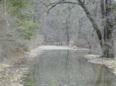
Ompompanoosuc River, Tributary in eastern Vermont, United States.

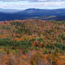
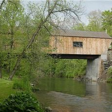
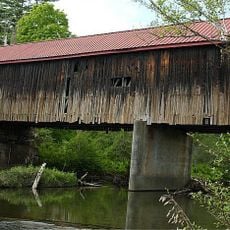
The Ompompanoosuc River is a waterway in eastern Vermont that flows into the Connecticut River. It runs through forested land dotted with covered bridges that cross the valley at different points.

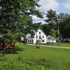
Early settlers used the river's flow to power mills in the 1800s, establishing small communities along its banks. A dam built in the mid-20th century changed the landscape and its water patterns.

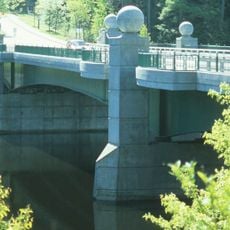
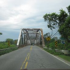
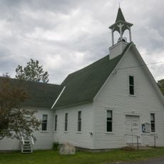
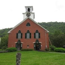
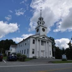
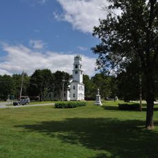
The river area contains multiple covered bridges, including the Thetford Center and Union Village bridges, representing Vermont's traditional architecture.

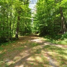
You can explore the river landscape on local trails and view the old bridges from close range. Spring through fall offers the best conditions, when paths are dry and easy to walk.

In winter the reservoir behind the dam fills with water and creates a temporary lake that transforms the Thetford area completely. This seasonal shift demonstrates how engineering works reshape the natural landscape.

The community of curious travelers

AroundUs brings together thousands of curated places, local tips, and hidden gems, enriched daily by 60,000 contributors worldwide.

Start exploring
Location
GPS coordinates
43.75170,-72.22920
Latest update
December 12, 2025 14:26
Around this place
The Epic of American Civilization
United States of America

The Epic of American Civilization

7.1 km
The Green
United States of America

The Green

7.2 km
Memorial Field
United States of America

Memorial Field

7.2 km
Hopkins Center for the Arts
United States of America

Hopkins Center for the Arts

7.3 km
Hood Museum of Art
United States of America

Hood Museum of Art

7.3 km
Baker-Berry Library
United States of America

Baker-Berry Library

7 km
Ledyard Bridge
United States of America

Ledyard Bridge

7.8 km
Gile Mountain
United States of America

Gile Mountain

10.7 km
Shattuck Observatory
United States of America

Shattuck Observatory

6.9 km
Lyme–East Thetford Bridge
United States of America

Lyme–East Thetford Bridge

7.7 km
Scully-Fahey Field
United States of America

Scully-Fahey Field

7 km
Thetford Hill State Park
United States of America

Thetford Hill State Park

6.7 km
Root School
United States of America

Root School

3.9 km
Hanover Town Library
United States of America

Hanover Town Library

6.4 km
Beaver Meadow Union Chapel
United States of America

Beaver Meadow Union Chapel

11.7 km
Union Village Covered Bridge
United States of America

Union Village Covered Bridge

4.6 km
Jericho Rural Historic District
United States of America

Jericho Rural Historic District

12.9 km
Beaver Meadow School
United States of America

Beaver Meadow School

11.5 km
Advent Camp Meeting Grounds Historic District
United States of America

Advent Camp Meeting Grounds Historic District

12.1 km
Colburn Park Historic District
United States of America

Colburn Park Historic District

12.4 km
Great Hollow Road Stone Arch Bridge
United States of America

Great Hollow Road Stone Arch Bridge

7.2 km
Thetford Center Covered Bridge
United States of America

Thetford Center Covered Bridge

9.1 km
Thetford Center Historic District
United States of America

Thetford Center Historic District

9.1 km
Thetford Hill Historic District
United States of America

Thetford Hill Historic District

7.3 km
Norwich Village Historic District
United States of America

Norwich Village Historic District

7.7 km
Lyme Common Historic District
United States of America

Lyme Common Historic District

8.7 km
Christian Street Rural Historic District
United States of America

Christian Street Rural Historic District

9.9 km
Montshire Museum of Science
United States of America

Montshire Museum of Science

8.4 km
Show the full map
Reviews
Share your experience

No review yet

Discussions
Start a discussion...

No discussion yet

« Ompompanoosuc River - Tributary in eastern Vermont, United States » is provided by Around Us (aroundus.com). Images and texts are derived from Wikimedia project under a Creative Commons license. You are allowed to copy, distribute, and modify copies of this page, under the conditions set by the license, as long as this note is clearly visible.

Discover hidden gems everywhere you go!

From secret cafés to breathtaking viewpoints, skip the crowded tourist spots and find places that match your style. Our app makes it easy with voice search, smart filtering, route optimization, and insider tips from travelers worldwide. Download now for the complete mobile experience.

Around Us App Screenshot

A unique approach to discovering new places

Le Figaro

All the places worth exploring

France Info

A tailor-made excursion in just a few clicks

20 Minutes

Around Us
Travel Guide & Maps
Download

Send to your phone

QR Code
1

Open the camera app on your mobile.

2

Point at the QR code with your camera. A notification will appear.

3

Tap the notification to open the link.