Enable Location

We need your location to show you interesting places around you

Discover nearby places

Find interesting locations and hidden gems around you

Precise directions

Get accurate directions and distances to places

Your location is never shared with other users. It's only used when you tap the location button.

Woodstock

Log in to your account

Start exploring — it's free

Trusted by 61,908 travelers worldwide

Continue with Google
Continue with Apple
or

We will send you a code to connect

By continuing, you accept our Terms and Conditions and our Privacy Policy

Check your inbox

We've sent a pincode in your inbox. Please enter the code below.

Woodstock, Historical town in Windsor County, Vermont.

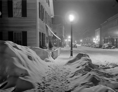
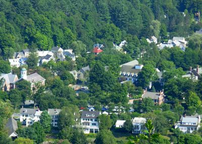
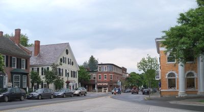
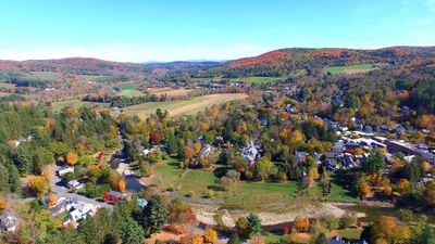
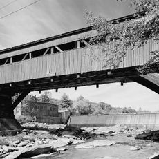
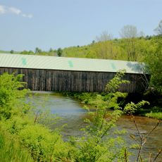
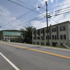
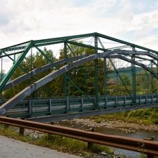
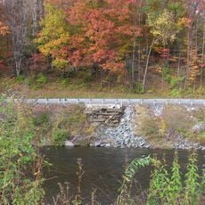
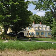
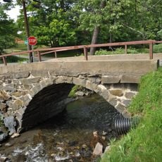
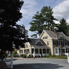
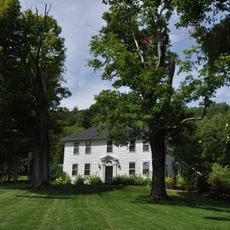
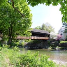
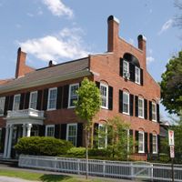
Woodstock is a historic New England town in Windsor County, Vermont, built along the Ottauquechee River. White clapboard houses, covered bridges, and a central green surrounded by Federal-style buildings form its distinctive streetscape.

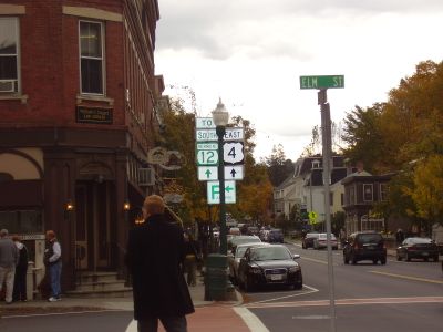
The town was founded in 1761 and became a key transportation hub connecting Boston and Montreal during its early years. This strategic location fueled economic growth and attracted settlement throughout the 1700s and 1800s.

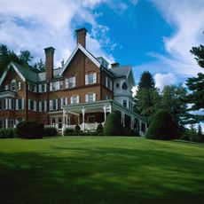
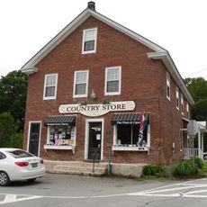
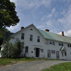
The town's identity centers on its collection of Federal-style buildings that define the character of the village green. These structures reflect the values and craftsmanship that shaped the community over generations.

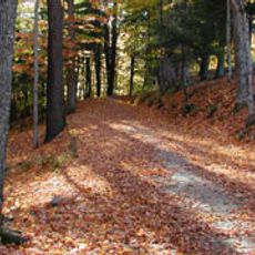
The town offers numerous hiking trails, ski slopes, and outdoor activities with clearly marked paths connecting to the Green Mountains nearby. Plan visits according to the season, as conditions and available activities vary significantly throughout the year.

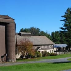
The Billings Farm and Museum operates as a working dairy farm where visitors can witness 19th-century farming practices firsthand. Seasonal demonstrations show traditional agricultural methods in action rather than simply describing them from displays.

The community of curious travelers

AroundUs brings together thousands of curated places, local tips, and hidden gems, enriched daily by 60,000 contributors worldwide.

Start exploring
Location
Inception
1761
Elevation above the sea
345 m
GPS coordinates
43.62417,-72.51833
Latest update
December 17, 2025 09:24
Around this place
Marsh-Billings-Rockefeller National Historical Park
United States of America

Marsh-Billings-Rockefeller National Historical Park

1.7 km
Taftsville Covered Bridge
United States of America

Taftsville Covered Bridge

4.1 km
George Perkins Marsh Boyhood Home
United States of America

George Perkins Marsh Boyhood Home

483 m
Lincoln Covered Bridge
United States of America

Lincoln Covered Bridge

4.9 km
Taftsville Historic District
United States of America

Taftsville Historic District

3.6 km
Bridgewater Woolen Mill
United States of America

Bridgewater Woolen Mill

9.3 km
King Farm
United States of America

King Farm

2.1 km
West Woodstock Bridge
United States of America

West Woodstock Bridge

2.3 km
Billings Farm Museum
United States of America

Billings Farm Museum

835 m
Woodstock Warren Through Truss Bridge
United States of America

Woodstock Warren Through Truss Bridge

6.3 km
Saddlebow Farm
United States of America

Saddlebow Farm

8.2 km
Charles Marsh Law Office
United States of America

Charles Marsh Law Office

1 km
Kendron Brook Bridge
United States of America

Kendron Brook Bridge

4.8 km
Wales N. Johnson House
United States of America

Wales N. Johnson House

2.9 km
Rev. George Daman House
United States of America

Rev. George Daman House

3.9 km
Woodstock Middle Bridge
United States of America

Woodstock Middle Bridge

175 m
United States of America

Densmore Hill

8.7 km
United States of America

Vondell Reservoir

4.4 km
United States of America

South Woodstock Historic District

6.7 km
United States of America

Woodstock Village Historic District

157 m
United States of America

Woodstock Country Club

1.4 km
United States of America

South Pomfret Covered Bridge

4.4 km
United States of America

The Little Theater

677 m

The Woodstock Gallery

149 m

Gallery on the Green

118 m
United States of America

Civil War Memorial

393 m
United States of America

Lincoln Covered Bridge

4.9 km
United States of America

Scenic viewpoint

967 m
Show the full map
Administrative divisions
« Woodstock - Historical town in Windsor County, Vermont » is provided by Around Us (aroundus.com). Images and texts are derived from Wikimedia project under a Creative Commons license. You are allowed to copy, distribute, and modify copies of this page, under the conditions set by the license, as long as this note is clearly visible.

Discover hidden gems everywhere you go!

From secret cafés to breathtaking viewpoints, skip the crowded tourist spots and find places that match your style. Our app makes it easy with voice search, smart filtering, route optimization, and insider tips from travelers worldwide. Download now for the complete mobile experience.

Around Us App Screenshot

A unique approach to discovering new places

Le Figaro

All the places worth exploring

France Info

A tailor-made excursion in just a few clicks

20 Minutes

Around Us
Travel Guide & Maps
Download

Send to your phone

QR Code
1

Open the camera app on your mobile.

2

Point at the QR code with your camera. A notification will appear.

3

Tap the notification to open the link.