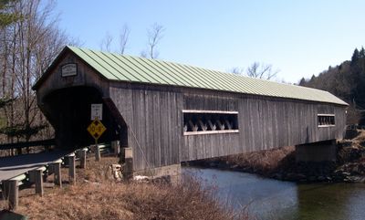
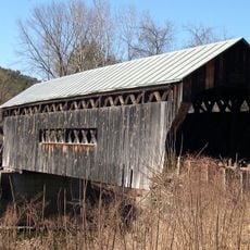
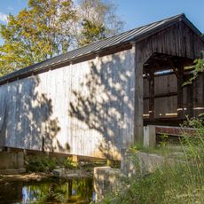
Bartonsville Covered Bridge, Covered bridge in Rockingham, US
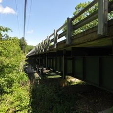
Bartonsville Covered Bridge is a wooden structure crossing the Williams River with a lattice truss frame and green metal roof. The reconstructed bridge measures about 151 feet in length and features traditional covered bridge design elements.
The original bridge was built in 1870 by Sanford Granger and survived multiple floods and a truck accident in the 1960s. Hurricane Irene destroyed it completely in 2011, prompting a community effort to rebuild and reopen it.
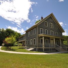
The bridge reflects how wooden structures once connected remote communities in Vermont and shaped daily life in the countryside. Crossing it shows the practical role these buildings played in rural societies.
Access the bridge from Vermont Route 103 via Lower Bartonsville Road and walking across is safe and straightforward. Keep in mind that this is an active road bridge, so be aware of vehicle traffic while visiting.
What makes this structure remarkable is how the community rallied after the hurricane to rebuild it rather than abandoning the crossing. This collective effort transformed it into a symbol of local resilience and commitment.
The community of curious travelers
AroundUs brings together thousands of curated places, local tips, and hidden gems, enriched daily by 60,000 contributors worldwide.