
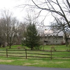
West Cocalico Township Park, park in Lancaster County, Pennsylvania, United States of America
Location: Lancaster County
GPS coordinates: 40.26472,-76.11917
Latest update: November 3, 2025 05:51
Ephrata Cloister
10.9 km
Conrad Weiser Homestead
11.5 km
Clay Township
10.8 km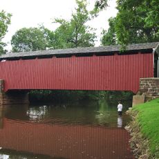
Bucher's Mill Covered Bridge
6.4 km
Red Run Covered Bridge
10.3 km
Grand View Dairy Farm
6.2 km
Robesonia Furnace Historic District
8.9 km
House of Miller at Millbach
12.5 km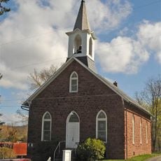
Reinholds Station Trinity Chapel
580 m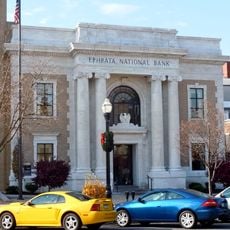
Ephrata Commercial Historic District
10.8 km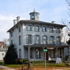
Connell Mansion
10.7 km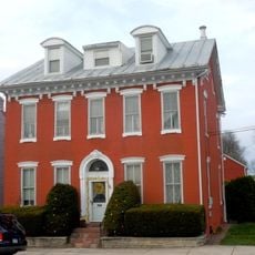
Womelsdorf Historic District
12.4 km
Stouchsburg Historic District
12.4 km
Jacob Keller Farm
12.8 km
Bucher Thal Historic District
4.5 km
Hibshman Farm
8.2 km
Furnace Hills Tenant House
7.4 km
Kagerise Store and House
5.7 km
Hain Mill
10.5 km
Peter and Catherine Reyer Farmhouse
9.4 km
Knorr-Bare Farm
8.1 km
Lerch Tavern
7.8 km
Henry Walter House
3.1 km
Kissling Farm
11.5 km
Mentzer Building
10.7 km
Mountain Springs Hotel
10.9 km
Mother Tucker's Antiques
7.6 km
Winters Leadership Memorial
11.1 kmReviews
Visited this place? Tap the stars to rate it and share your experience / photos with the community! Try now! You can cancel it anytime.
Discover hidden gems everywhere you go!
From secret cafés to breathtaking viewpoints, skip the crowded tourist spots and find places that match your style. Our app makes it easy with voice search, smart filtering, route optimization, and insider tips from travelers worldwide. Download now for the complete mobile experience.

A unique approach to discovering new places❞
— Le Figaro
All the places worth exploring❞
— France Info
A tailor-made excursion in just a few clicks❞
— 20 Minutes