Enable Location

We need your location to show you interesting places around you

Discover nearby places

Find interesting locations and hidden gems around you

Precise directions

Get accurate directions and distances to places

Your location is never shared with other users. It's only used when you tap the location button.

Clay Township

Log in to your account

Start exploring — it's free

Trusted by 61,865 travelers worldwide

Continue with Google
Continue with Apple
or

We will send you a code to connect

By continuing, you accept our Terms and Conditions and our Privacy Policy

Check your inbox

We've sent a pincode in your inbox. Please enter the code below.

Clay Township

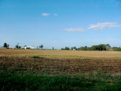
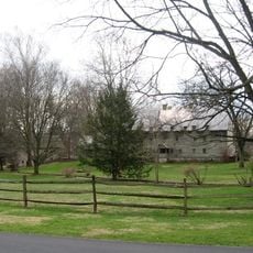
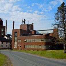
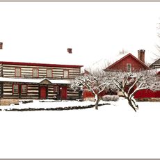
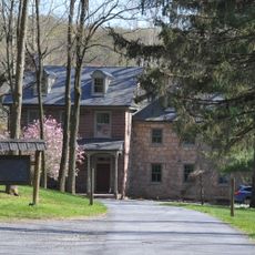
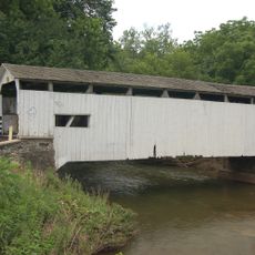
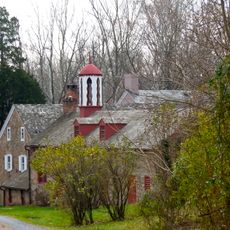
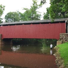
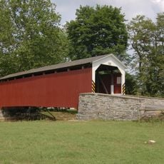
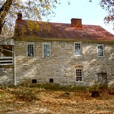
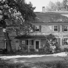
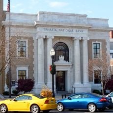
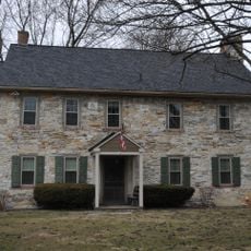
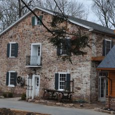
Clay Township, Administrative township in Lancaster County, Pennsylvania, US

Description

Clay Township is an administrative township in Lancaster County, Pennsylvania. The area encompasses residential neighborhoods and commercial zones managed by local officials.

History

The township was established as a local administrative unit governed by a Board of Supervisors and Planning Commission. This system of local governance has been in place throughout its history.

Culture

The township organizes seasonal community events, including an annual Trick or Treat Night in October for families and children.

Practical

Visitors can contact the township office for information about administrative matters, public works, and emergency services. Online resources provide additional guidance for various inquiries and community needs.

Did you know?

The township enforces temporary burn bans during specific periods to ensure environmental protection and community safety.

GPS coordinates
40.23739,-76.24106
Latest update
December 14, 2025 11:23

AroundUs brings together thousands of curated places, local tips, and hidden gems, enriched daily by 60,000 contributors worldwide. Discover all places nearby (United States of America).

Around this place
Ephrata Cloister
United States of America

Ephrata Cloister

7.5 km
Bomberger's Distillery
United States of America

Bomberger's Distillery

8 km
United States of America

Horse-Shoe Trail

4.2 km
The Hess Homestead
United States of America

The Hess Homestead

10.1 km
Speedwell Forge
United States of America

Speedwell Forge

8 km
Keller's Mill Covered Bridge
United States of America

Keller's Mill Covered Bridge

8.2 km
Stiegel-Coleman House
United States of America

Stiegel-Coleman House

4.7 km
Weigley Mansion
United States of America

Weigley Mansion

7.9 km
Bucher's Mill Covered Bridge
United States of America

Bucher's Mill Covered Bridge

9.6 km
Erb's Covered Bridge
United States of America

Erb's Covered Bridge

7.8 km
Schaeffer House
United States of America

Schaeffer House

8.3 km
Rex House
United States of America

Rex House

8.1 km
House of Miller at Millbach
United States of America

House of Miller at Millbach

10.3 km
Reinholds Station Trinity Chapel
United States of America

Reinholds Station Trinity Chapel

11.4 km
Ephrata Commercial Historic District
United States of America

Ephrata Commercial Historic District

8.5 km
Connell Mansion
United States of America

Connell Mansion

8.1 km
William Werner House
United States of America

William Werner House

10.5 km
Jacob Keller Farm
United States of America

Jacob Keller Farm

8 km
Bucher Thal Historic District
United States of America

Bucher Thal Historic District

9.3 km
Hibshman Farm
United States of America

Hibshman Farm

6.6 km
Eby Shoe Corporation buildings
United States of America

Eby Shoe Corporation buildings

8.5 km
Brunnerville Road Bridge over Hammer Creek
United States of America

Brunnerville Road Bridge over Hammer Creek

5.6 km
Philip Erpff House
United States of America

Philip Erpff House

7.9 km
Furnace Hills Tenant House
United States of America

Furnace Hills Tenant House

4.3 km
Peter and Catherine Reyer Farmhouse
United States of America

Peter and Catherine Reyer Farmhouse

7.1 km
Lititz Historical Foundation
United States of America

Lititz Historical Foundation

10.4 km
Henry Walter House
United States of America

Henry Walter House

8.2 km
Mentzer Building
United States of America

Mentzer Building

8.3 km
Show the full map
« Clay Township - Administrative township in Lancaster County, Pennsylvania, US » is provided by Around Us (aroundus.com). Images and texts are derived from Wikimedia project under a Creative Commons license. You are allowed to copy, distribute, and modify copies of this page, under the conditions set by the license, as long as this note is clearly visible.

Discover hidden gems everywhere you go!

From secret cafés to breathtaking viewpoints, skip the crowded tourist spots and find places that match your style. Our app makes it easy with voice search, smart filtering, route optimization, and insider tips from travelers worldwide. Download now for the complete mobile experience.

Around Us App Screenshot

A unique approach to discovering new places

Le Figaro

All the places worth exploring

France Info

A tailor-made excursion in just a few clicks

20 Minutes

Around Us
Travel Guide & Maps
Download

Send to your phone

QR Code
1

Open the camera app on your mobile.

2

Point at the QR code with your camera. A notification will appear.

3

Tap the notification to open the link.