Enable Location

We need your location to show you interesting places around you

Discover nearby places

Find interesting locations and hidden gems around you

Precise directions

Get accurate directions and distances to places

Your location is never shared with other users. It's only used when you tap the location button.

Log in to your account

Start exploring — it's free

Trusted by 60,637 travelers worldwide

Continue with Google
Continue with Apple
or

We will send you a code to connect

By continuing, you accept our Terms and Conditions and our Privacy Policy

Check your inbox

We've sent a pincode in your inbox. Please enter the code below.

Horse-Shoe Trail

Horse-Shoe Trail, Historic hiking trail in southeastern Pennsylvania, United States.

Description

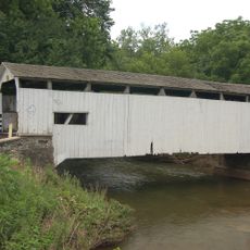
The Horse-Shoe Trail is a hiking path that stretches roughly 140 miles through varied landscapes across the region. It connects Valley Forge with the Appalachian Trail near Harrisburg and offers many entry points for hikers of different experience levels.

History

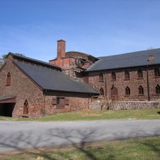
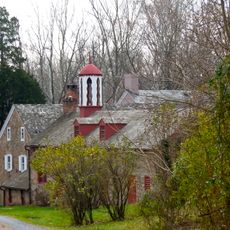
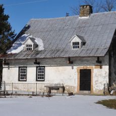
The trail was established in 1935 and partly follows routes that indigenous peoples and early settlers used for trade. These historic paths were connected to form a unified system that exists today.

Culture

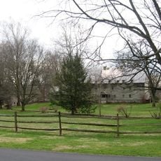
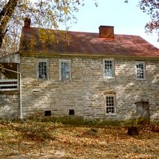
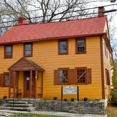
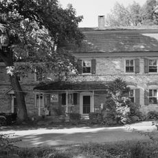
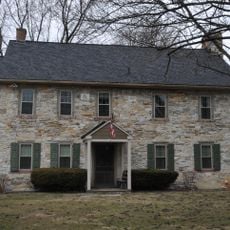
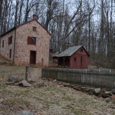
The trail passes through landscapes where Revolutionary War sites shape the character of the surroundings. Visitors encounter places connected to these historical events that help explain the region's identity.

Practical

Overnight camping requires careful planning due to restrictions along the route. Day hikes on individual sections are easy to plan and work well in most weather conditions.

Did you know?

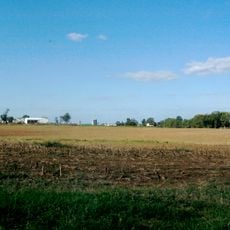
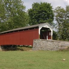
A 17-mile section between Chester and Berks counties earned recognition as a National Recreation Trail for its special natural features. This portion demonstrates how the route preserves wild spaces within a populated region.

Location
GPS coordinates
40.25440,-76.28470
Latest update
December 9, 2025 18:42

AroundUs brings together thousands of curated places, local tips, and hidden gems, enriched daily by 60,000 contributors worldwide. Discover all places nearby (Pennsylvania).

Around this place
Ephrata Cloister
United States of America

Ephrata Cloister

11.4 km
Bomberger's Distillery
United States of America

Bomberger's Distillery

3.9 km
Cedar Crest High School
United States of America

Cedar Crest High School

11.6 km
Cornwall Iron Furnace
United States of America

Cornwall Iron Furnace

10.5 km
The Hess Homestead
United States of America

The Hess Homestead

11.2 km
Speedwell Forge
United States of America

Speedwell Forge

5.9 km
Clay Township
United States of America

Clay Township

4.2 km
Lititz Moravian Historic District
United States of America

Lititz Moravian Historic District

11.2 km
Keller's Mill Covered Bridge
United States of America

Keller's Mill Covered Bridge

11 km
Stiegel-Coleman House
United States of America

Stiegel-Coleman House

2.1 km
Heinrich Zeller House
United States of America

Heinrich Zeller House

11.7 km
Weigley Mansion
United States of America

Weigley Mansion

4.6 km
Erb's Covered Bridge
United States of America

Erb's Covered Bridge

10.2 km
Johann Agust Sutter House
United States of America

Johann Agust Sutter House

11 km
Schaeffer House
United States of America

Schaeffer House

5.1 km
Rex House
United States of America

Rex House

4.9 km
House of Miller at Millbach
United States of America

House of Miller at Millbach

9.3 km
Ephrata Commercial Historic District
United States of America

Ephrata Commercial Historic District

12.5 km
Connell Mansion
United States of America

Connell Mansion

12 km
William Werner House
United States of America

William Werner House

11 km
Jacob Keller Farm
United States of America

Jacob Keller Farm

11.5 km
Hibshman Farm
United States of America

Hibshman Farm

10.8 km
Brunnerville Road Bridge over Hammer Creek
United States of America

Brunnerville Road Bridge over Hammer Creek

6.4 km
Philip Erpff House
United States of America

Philip Erpff House

4.7 km
Furnace Hills Tenant House
United States of America

Furnace Hills Tenant House

6.8 km
Peter and Catherine Reyer Farmhouse
United States of America

Peter and Catherine Reyer Farmhouse

11.2 km
Julius Sturgis Pretzel Bakery
United States of America

Julius Sturgis Pretzel Bakery

11 km
Lititz Historical Foundation
United States of America

Lititz Historical Foundation

11 km
Show the full map
« Horse-Shoe Trail - Historic hiking trail in southeastern Pennsylvania, United States » is provided by Around Us (aroundus.com). Images and texts are derived from Wikimedia project under a Creative Commons license. You are allowed to copy, distribute, and modify copies of this page, under the conditions set by the license, as long as this note is clearly visible.

Discover hidden gems everywhere you go!

From secret cafés to breathtaking viewpoints, skip the crowded tourist spots and find places that match your style. Our app makes it easy with voice search, smart filtering, route optimization, and insider tips from travelers worldwide. Download now for the complete mobile experience.

Around Us App Screenshot

A unique approach to discovering new places

Le Figaro

All the places worth exploring

France Info

A tailor-made excursion in just a few clicks

20 Minutes

Around Us
Travel Guide & Maps
Download

Send to your phone

QR Code
1

Open the camera app on your mobile.

2

Point at the QR code with your camera. A notification will appear.

3

Tap the notification to open the link.