
Lower Lake, Stausee in den Vereinigten Staaten
Location: Susquehanna County
GPS coordinates: 41.80472,-75.75806
Latest update: March 15, 2025 16:13
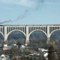
Tunkhannock Viaduct
20.4 km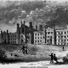
New York State Inebriate Asylum
34.8 km
Northern Tier
27.4 km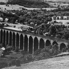
Starrucca Viaduct
22.8 km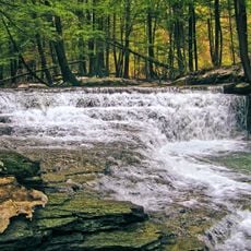
Salt Springs State Park
15.1 km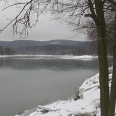
Lackawanna State Park
26 km
Lackawanna State Forest
26.5 km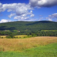
Mount Ararat
25.2 km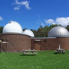
Kopernik Space Center
31.7 km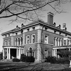
Roberson Mansion
34.9 km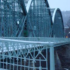
South Washington Street Parabolic Bridge
34.6 km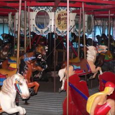
Ross Park Carousel
32.6 km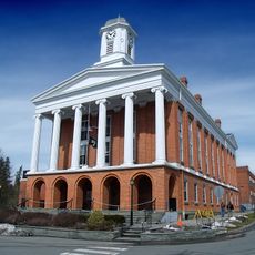
Susquehanna County Courthouse Complex
10.4 km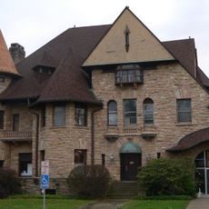
Jonas M. Kilmer House
34.8 km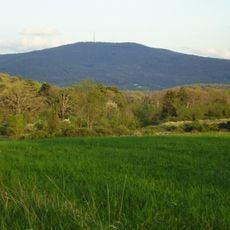
Osterhout Mountain
32 km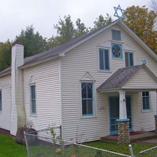
Spring Glen Synagogue
31.4 km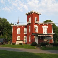
Montrose Historic District
10.4 km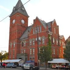
Carbondale City Hall and Courthouse
33.4 km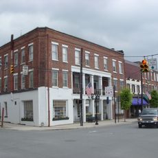
Tunkhannock Historic District
33.5 km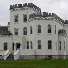
Conklin Town Hall
27.5 km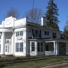
Silver Lake Bank
10.3 km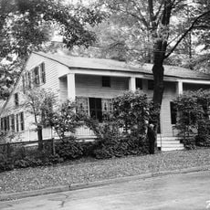
Sylvanus Mulford House
10.3 km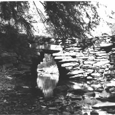
Bridge in Gibson Borough
12.7 km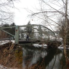
Bridge in Nicholson Township
22.9 km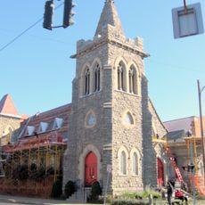
Trinity Memorial Church
34.4 km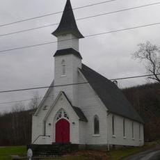
Old Hawleyton Methodist Episcopal Church
27.2 km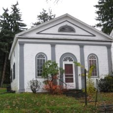
Waverly Historic District
31.2 km
Windsor Village Historic District
31.8 kmReviews
Visited this place? Tap the stars to rate it and share your experience / photos with the community! Try now! You can cancel it anytime.
Discover hidden gems everywhere you go!
From secret cafés to breathtaking viewpoints, skip the crowded tourist spots and find places that match your style. Our app makes it easy with voice search, smart filtering, route optimization, and insider tips from travelers worldwide. Download now for the complete mobile experience.

A unique approach to discovering new places❞
— Le Figaro
All the places worth exploring❞
— France Info
A tailor-made excursion in just a few clicks❞
— 20 Minutes