Wiriehorn, Mountain peak in Bernese Oberland region, Switzerland
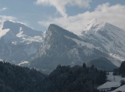
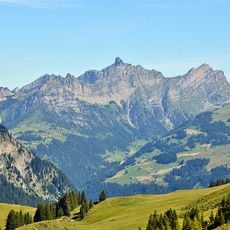
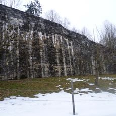
Wiriehorn is a peak in the Bernese Alps that rises to 2,304 meters and displays steep slopes with distinctive rock features. The mountain's north and south sides show different rock types and erosion patterns that create a varied appearance from different angles.
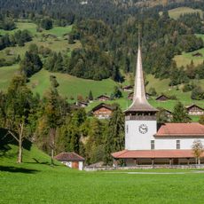
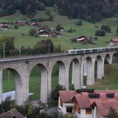
The mountain served as a geographical landmark and for herding livestock during medieval times in the region. Pastoral routes and practices in these areas evolved over centuries as the Bernese Oberland developed.
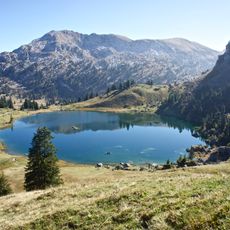
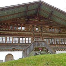
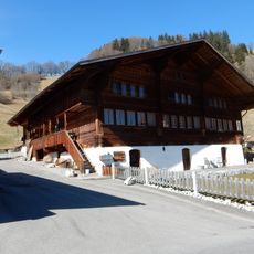
The name comes from its use as pastureland in past centuries, with local shepherds bringing herds to graze on these slopes. You can still see the open alpine meadows that reflect this heritage when you walk through the area.
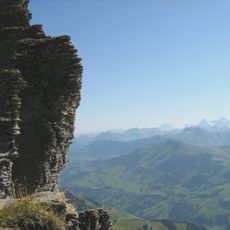
The mountain is reachable via marked trails from Zwischenfluh, with the climb taking roughly four hours for experienced hikers during summer months. Weather at elevation changes quickly, so visitors should plan proper gear and take regular breaks along the way.
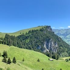
The mountain sits at the boundary between two different climate zones, which creates sharply different vegetation patterns on the north and south slopes. These contrasts become noticeable as you climb and also affect the wildlife across the different elevations.
The community of curious travelers
AroundUs brings together thousands of curated places, local tips, and hidden gems, enriched daily by 60,000 contributors worldwide.