Friedland, municipality in Mecklenburg-Vorpommern, Germany
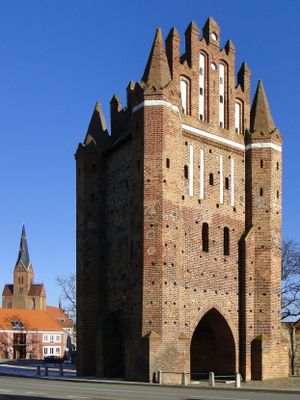
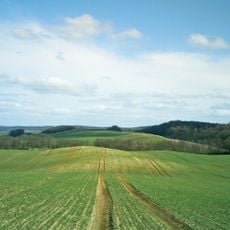
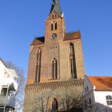
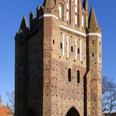
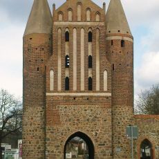
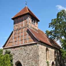
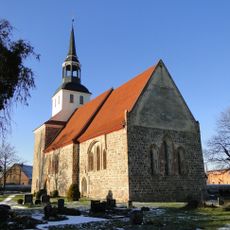
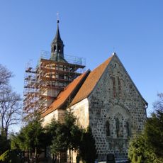
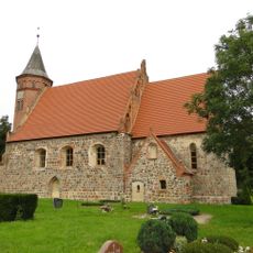
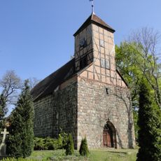
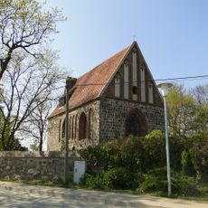
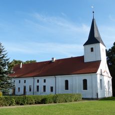
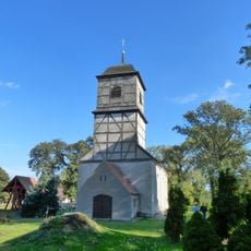
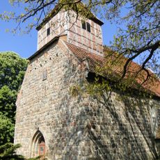
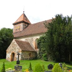
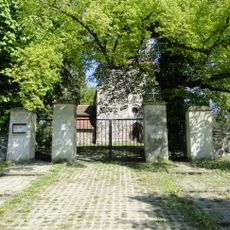
Friedland is a small town in Mecklenburg-Vorpommern located near the Datze River, surrounded by flat fields and gentle hills. Old buildings line the streets alongside modern homes, while fragments of city walls and historic gates reveal its medieval fortifications.
Founded in 1244, the town grew into an important trading post along routes crossing the wetlands. It endured numerous conflicts including campaigns during the Seven Years' War and Napoleon's passage through in 1806, leaving marks on its development.
The town has deep roots in craftsmanship and sports, with the gymnastics club founded in 1814 being one of Germany's oldest. You can see this heritage in the old buildings throughout town and in the community events that still take place today.
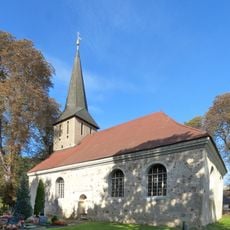
The town is easily reached by car and train, with the main road from Neubrandenburg to Anklam passing directly through it. You can visit the old churches, walk along the city walls, and explore the local museum displaying the town's history.
The town was known for producing special red tiles called Friedland Red, which were used in kitchen and laboratory equipment. This craftsmanship tradition is a quiet testament to industrial heritage in the countryside.
The community of curious travelers
AroundUs brings together thousands of curated places, local tips, and hidden gems, enriched daily by 60,000 contributors worldwide.