Alsdorf, Medium regional center in Aachen cities region, Germany.
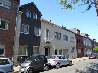
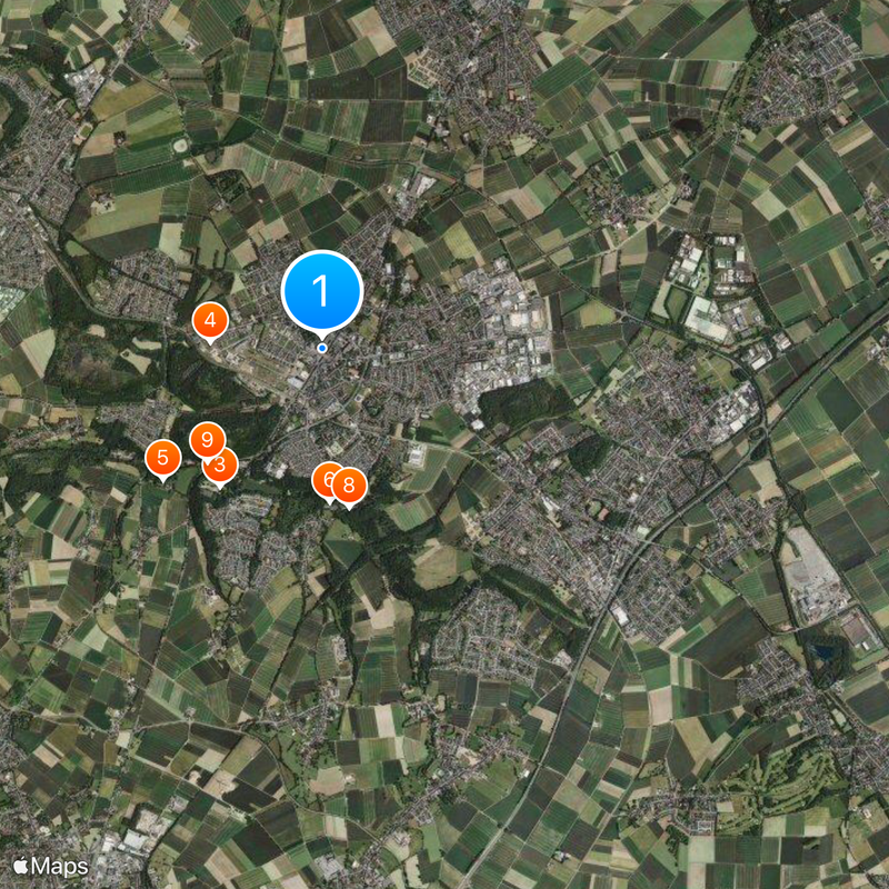
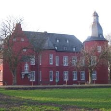
Alsdorf is a medium-sized administrative center in the Aachen region with several distinct residential and industrial neighborhoods spread across varied terrain. The town sits at a convenient location for travelers moving between Germany and its neighboring countries.
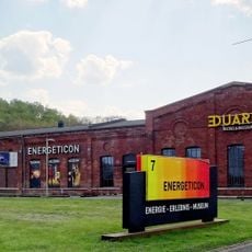
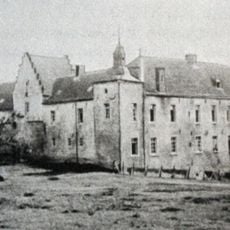
The town developed rapidly during the 19th century as coal mining operations, particularly the Maria and Anna mines, fueled economic growth and job creation. When mining ceased in 1992, the region entered a new chapter focused on economic diversification and urban renewal.
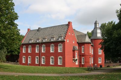
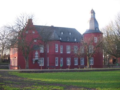
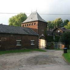
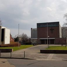
The cultural center hosts regular concerts, theater productions, and exhibitions that draw locals and visitors throughout the year. Events here reflect a community that values both artistic expression and connection to its industrial past.
The town has convenient highway connections and sits close to the Belgian and Dutch borders, making arrival straightforward by car. Most areas of town are walkable once you arrive, with adequate parking available in residential neighborhoods.
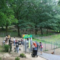
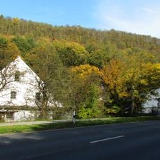
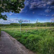
The former mining waste heaps near Noppenberg have transformed into nature reserves where rare plants and animals now thrive. This conversion of industrial land into valuable habitats shows how landscapes can recover after economic shifts.
Location: Aachen cities region
Elevation above the sea: 163 m
Shares border with: Eschweiler, Baesweiler
Website: https://alsdorf.de
GPS coordinates: 50.87436,6.16153
Latest update: December 14, 2025 21:17
Burg Alsdorf
505 m
Tierpark Alsdorfer Weiher
1.7 km
Museo Energeticon
1.1 km
Schloss Ottenfeld
2 kmKellersberger Mühle
1.5 km
St. Castor
498 m
Schloss Kellersberg
1.6 km
Alsdorfer Ölmühle
1.6 km
Pannhaus (Kinzweiler)
5.8 kmBroicher Mühle
2.4 kmSt. Mariä Empfängnis
2.4 kmJüdischer Friedhof
1.1 kmJüdischer Friedhof
4.2 kmJewish cemetery, Bettendorf
3 kmRömermühle
2.6 kmLinkens Mühle
1.5 kmKranentalsmühle
1.8 km
Bergehalden Noppenberg und Nordstern
2.1 kmBergehalde Anna II
1.2 kmBergehalde Maria-Hauptschacht
2 kmMittleres Broichbachtal zwischen Broicher Siedlung und Ofden
1.9 km
Burg Alsdorf
529 m
Cinetower
320 mOrtseingrünungen Mariadorf und Hoengen sowie Bahnlinien um Hoengen
2.8 km
St. Blasius
5.7 km
Oberes Broichbachtal
2.3 kmGehölzbestand mit Graureiherkolonie nordwestlich Ofden
1.8 kmQuellgebiet Broichbach mit Schwalbennistwand westlich Broicher Siedlung, nördlich Broich
2.9 kmVisited this place? Tap the stars to rate it and share your experience / photos with the community! Try now! You can cancel it anytime.
Discover hidden gems everywhere you go!
From secret cafés to breathtaking viewpoints, skip the crowded tourist spots and find places that match your style. Our app makes it easy with voice search, smart filtering, route optimization, and insider tips from travelers worldwide. Download now for the complete mobile experience.
A unique approach to discovering new places❞
— Le Figaro
All the places worth exploring❞
— France Info
A tailor-made excursion in just a few clicks❞
— 20 Minutes