Central Uplands, Natural region between North German Plain and Alps, Germany
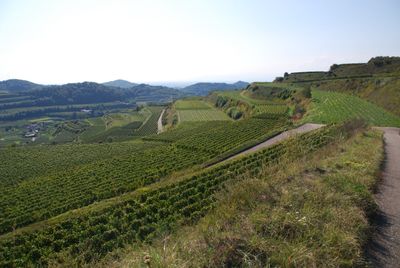
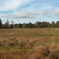
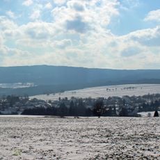
The Central Uplands region spreads across Germany with varied terrain including hill ranges, elevated plateaus, thick forests, and river valleys at elevations between 300 and 1500 meters (980-4900 feet). This zone acts as a transition between the flat northern plains and the higher southern mountains.
Tectonic collisions around 350 million years ago during the Carboniferous period created these mountains through massive mountain-building events. Erosion and weathering have since reshaped the terrain significantly, lowering the peaks and creating the landscape we see today.
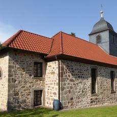
People have shaped life here for centuries, adapting villages and towns to the valleys and slopes. This long settlement has woven the region into local identity and daily routines.
A network of marked trails and cycling routes provides good access for exploring the landscape on foot or by bike. Weather in the highlands can change quickly, so bring layers and rain gear regardless of the season.
The rock layers here tell a story of alternating land and sea environments spanning millions of years, visible in the mix of limestone, sandstone, and chalk found throughout. This geological record makes the region valuable for understanding how continents and oceans have shifted over deep time.
The community of curious travelers
AroundUs brings together thousands of curated places, local tips, and hidden gems, enriched daily by 60,000 contributors worldwide.