
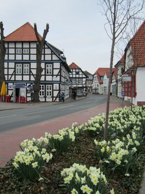
Lemförde, municipality of Germany
Location: Diepholz
Location: Altes Amt Lemförde
Elevation above the sea: 46 m
Shares border with: Stemshorn, Marl
Website: http://lemfoerde.de
GPS coordinates: 52.46667,8.38306
Latest update: March 7, 2025 06:04
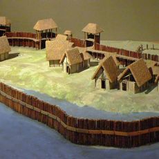
Neolithic settlement Hunte 1
8.7 km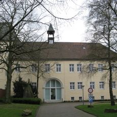
Schloss Haldem
3.1 km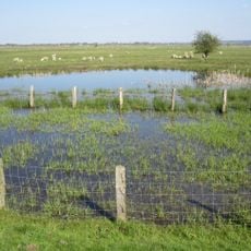
Ochsenmoor
4.2 km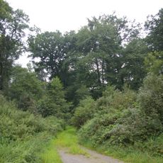
Evershorst
4.9 km
Dümmer, Hohe Sieben und Ochsenmoor
4.7 km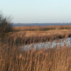
Dümmer
7 km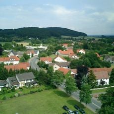
Scharfer Berg
4.1 km
Dümmer-Museum
6.2 km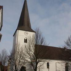
Marienkirche (Dielingen)
3.7 km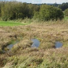
Westliche Dümmerniederung
10.2 km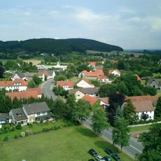
Kollwesshöh
4.9 km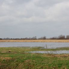
Hohe Sieben
5.1 km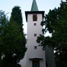
St.-Thomas-Kirche
11.9 km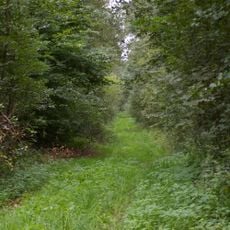
Sette
3.1 km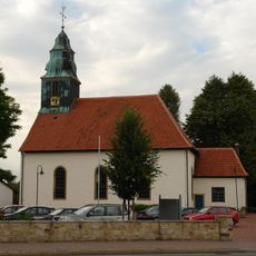
St.-Matthäuskirche
7.9 km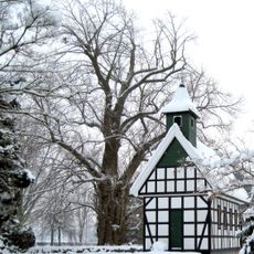
Friedhofslinde in Stemwede-Oppenwehe
6.5 km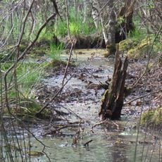
Dievenmoor
10.4 km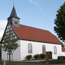
Heilig-Kreuz-Kapelle
3.1 km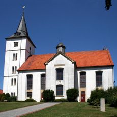
Evangelische Kirche Wehdem
6.3 km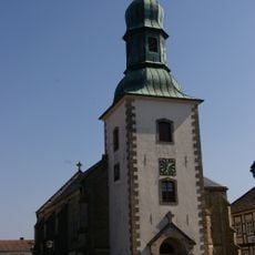
Martin-Luther-Kirche
412 m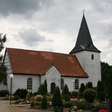
St. Marien Kirche
4.6 km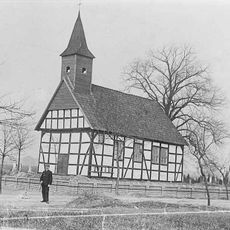
Oppenweher Klus
8.4 km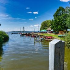
Dümmer-Museum Lembruch
6.2 km
Streithorst
7.3 km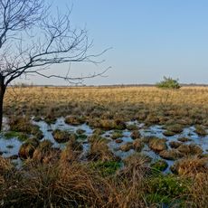
Oppenweher Moorlandschaft
9.5 km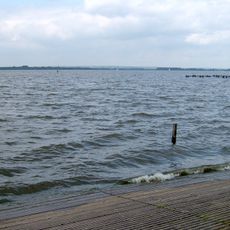
Dümmer (Landkreis Diepholz)
5.9 km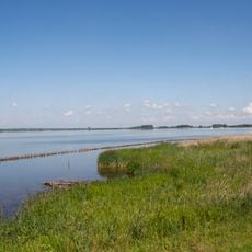
Dümmer
5.5 km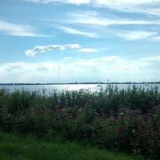
Dümmer
5.9 kmVisited this place? Tap the stars to rate it and share your experience / photos with the community! Try now! You can cancel it anytime.
Discover hidden gems everywhere you go!
From secret cafés to breathtaking viewpoints, skip the crowded tourist spots and find places that match your style. Our app makes it easy with voice search, smart filtering, route optimization, and insider tips from travelers worldwide. Download now for the complete mobile experience.

A unique approach to discovering new places❞
— Le Figaro
All the places worth exploring❞
— France Info
A tailor-made excursion in just a few clicks❞
— 20 Minutes