
Perlesreut, market municipality of Germany
Location: Freyung-Grafenau
Elevation above the sea: 542 m
Part of: Verwaltungsgemeinschaft Perlesreut
Shares border with: Fürsteneck, Röhrnbach, Freyung, Ringelai, Grafenau, Saldenburg, Tittling, Witzmannsberg
Website: http://perlesreut.de
GPS coordinates: 48.78333,13.45000
Latest update: March 3, 2025 17:07
Buchberger Leite
5.9 km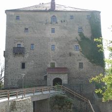
Burg Saldenburg
7.1 km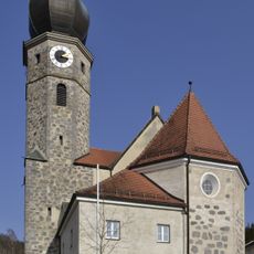
St. Michael
3.7 km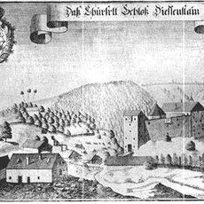
Burg Dießenstein
3.9 km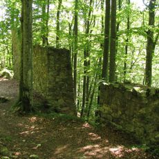
Burg Neuenbuchberg
5 km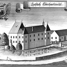
Schloss Eberhardsreuth
7.6 km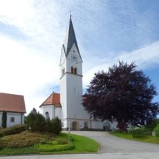
St. Josef Kumreut
4.7 km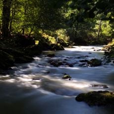
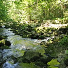
Obere Ilz
4.2 km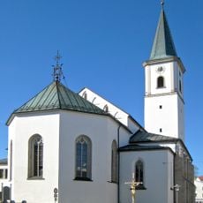
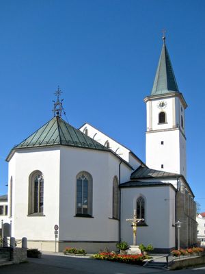
St. Andreas
768 m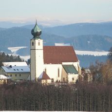
St. Brigida
5.4 km
Katholische Filialkirche St. Korona
6.3 km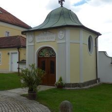
Kriegergedächtniskapelle Perlesreut
789 m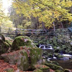
Schutz des Landschaftsteils Buchberger- und Reschbachleite, im Bereich der Gemeinden Freyung, Hohenau, Kumreut und Wasching, Landkreis Wolfstein
5.5 km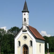
Kapelle
1.5 km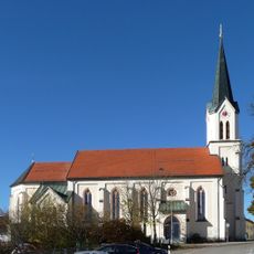
Herz-Jesu Kirche
4.4 km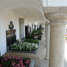
Friedhof Perlesreut
632 m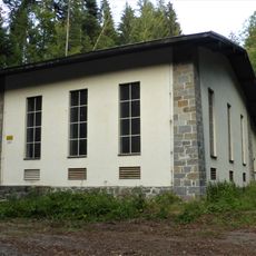
Kraftwerksanlagen Ahornöd 29
6.2 km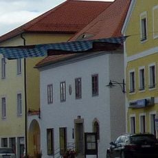
Wohn- und Geschäftshaus
715 m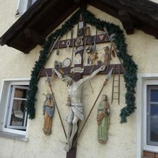
Kruzifix mit Arma Christi
3.8 km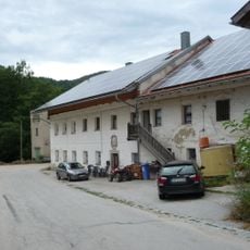
Göschlmühle
1.6 km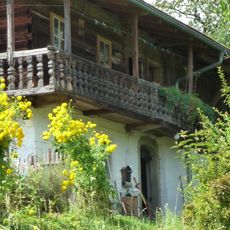
Paarhof
4.6 km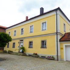
Katholisches Pfarrhaus
781 m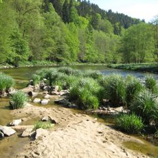
Ilz-Talsystem
2 km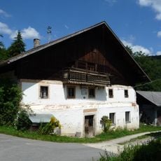
Heindlmühle
4.6 km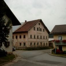
Türsturz
1.7 km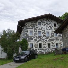
Geyersberg 13
6.5 km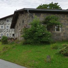
Geyersberg 9
6.5 km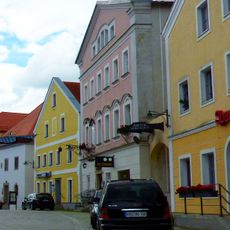
Wohn- und Geschäftshaus
735 mVisited this place? Tap the stars to rate it and share your experience / photos with the community! Try now! You can cancel it anytime.
Discover hidden gems everywhere you go!
From secret cafés to breathtaking viewpoints, skip the crowded tourist spots and find places that match your style. Our app makes it easy with voice search, smart filtering, route optimization, and insider tips from travelers worldwide. Download now for the complete mobile experience.

A unique approach to discovering new places❞
— Le Figaro
All the places worth exploring❞
— France Info
A tailor-made excursion in just a few clicks❞
— 20 Minutes