Dassel, municipality of Germany
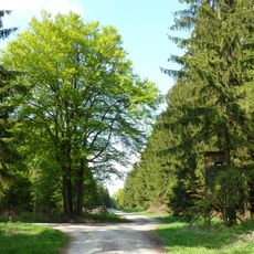
Dassel is a small town in the Northeim district of Lower Saxony, serving as a local administrative and residential center for the surrounding villages and countryside. The town center is compact, with shops, public offices, and everyday services grouped within walking distance of each other.
Dassel grew from a medieval settlement and gradually became a local trading point for the surrounding area. In the 1970s, a regional administrative reform merged several nearby communities into the single municipality that exists today.
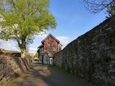
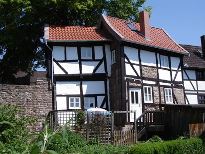
The name Dassel traces back to an early medieval settlement, and some older buildings in the town center still reflect that past. Walking through the streets gives a sense of a typical North German small town, with half-timbered houses and quiet squares.
Dassel is easy to reach by car via well-signed regional roads, and parking is available in the town center. The central area is small enough to explore on foot, which makes getting around straightforward for most visitors.
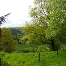
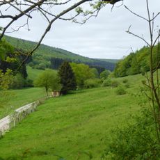
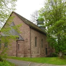
Near Dassel lies Amelungsborn Abbey, one of the oldest Cistercian monasteries in Germany, which is still in active use today. It draws visitors looking for a place away from the town center with a long history attached to it.
The community of curious travelers
AroundUs brings together thousands of curated places, local tips, and hidden gems, enriched daily by 60,000 contributors worldwide.