
Bad Colberg-Heldburg, former municipality in Thuringia, Germany
Location: Heldburg
Elevation above the sea: 365 m
Website: https://bad-colberg-heldburg.de
GPS coordinates: 50.28056,10.72528
Latest update: April 13, 2025 10:22
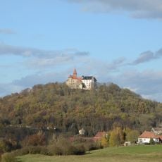
Heldburg Fortress
926 m
Heldburger Gangschar
926 m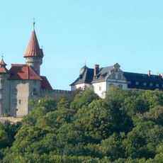
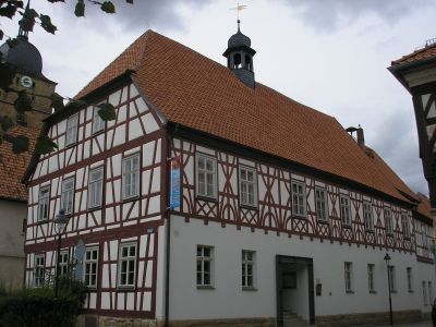
Deutsches Burgenmuseum
968 m
Stadtkirche Unserer Lieben Frau
38 m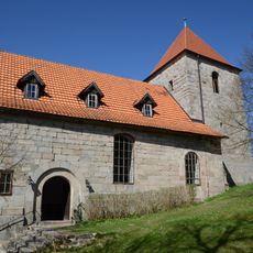
St. Andreas
6.6 km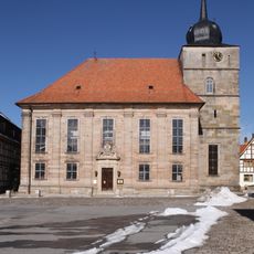
St. Bartholomäus (Ummerstadt)
6.5 km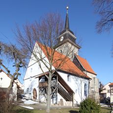
St. Kilian (Westhausen)
6 km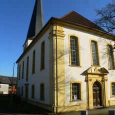
St. Mary (Gauerstadt)
6.3 km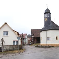
St. Katharina
3.7 km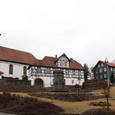
St. Michael (Hellingen)
4.5 km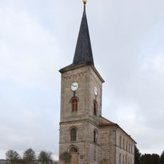
St. Matthäus
3.7 km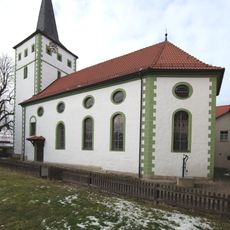
St. Cyriakus
2.5 km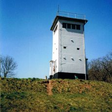
Artenschutz-, Forschungs- und Fledermauszentrum Billmuthausen
4.6 km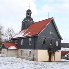
St. Wolfgang und St. Jakobus
3 km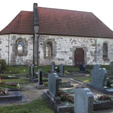
St. Leonhard
278 m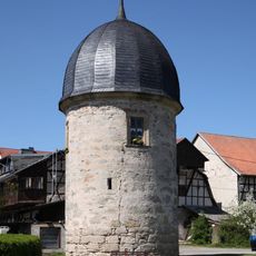
Apothekerturm (Heldburg)
266 m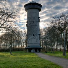
Henneberger Warte
5.4 km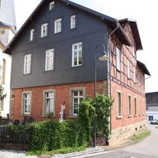
Schulgebäude
6.3 km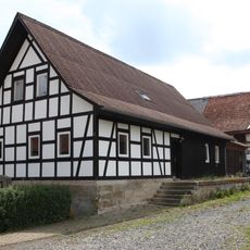
Bauernhaus
5.8 km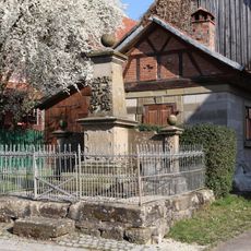
Kriegerdenkmal
6 km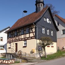
Bürgerzentrum
6.1 km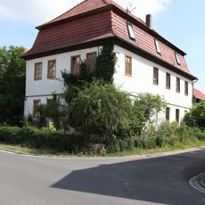
Gutshaus
6.5 km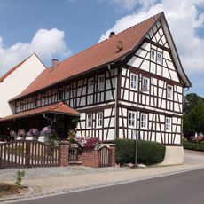
Cultural heritage D-4-73-158-50 in Bad Rodach
6.4 km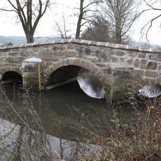
Straßenbrücke
6.5 km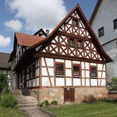
Cultural heritage D-4-73-158-98 in Bad Rodach
6.4 km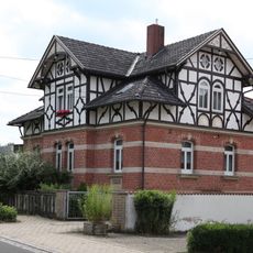
Wohnhaus mit Kreuzdach
6.4 km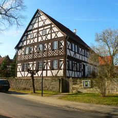
Pfarrhaus
6.3 km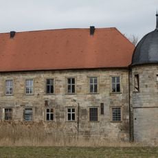
Schloss Hellingen
4.5 kmVisited this place? Tap the stars to rate it and share your experience / photos with the community! Try now! You can cancel it anytime.
Discover hidden gems everywhere you go!
From secret cafés to breathtaking viewpoints, skip the crowded tourist spots and find places that match your style. Our app makes it easy with voice search, smart filtering, route optimization, and insider tips from travelers worldwide. Download now for the complete mobile experience.

A unique approach to discovering new places❞
— Le Figaro
All the places worth exploring❞
— France Info
A tailor-made excursion in just a few clicks❞
— 20 Minutes