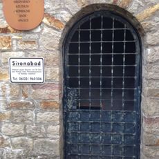
Trebur, municipality in Kreis Groß-Gerau in Hesse, Germany
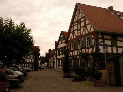
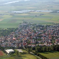
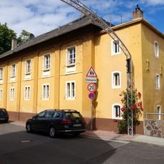
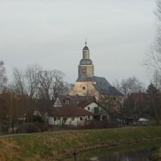
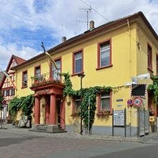
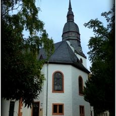
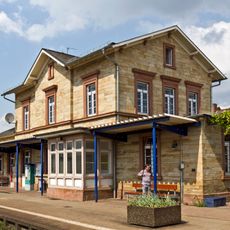
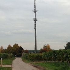
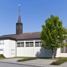
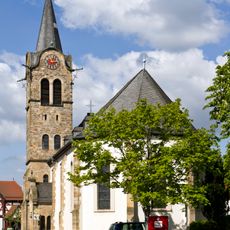
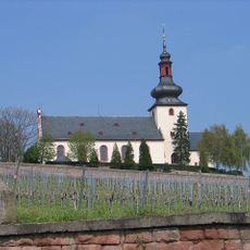
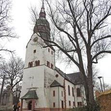
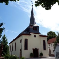
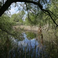
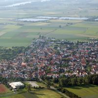
Trebur is a municipality in the Groß-Gerau district that sits along the Main River with several distinct village districts. The landscape is shaped by the river and farmland, creating an open and rural character throughout the area.
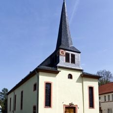
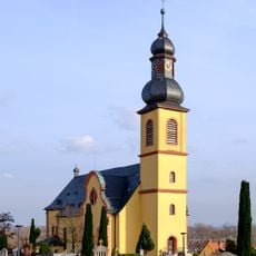
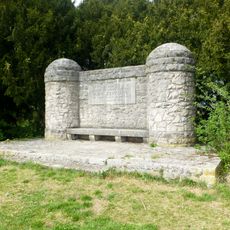
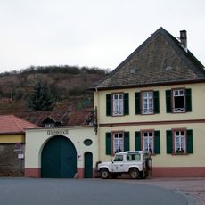
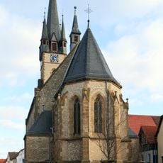
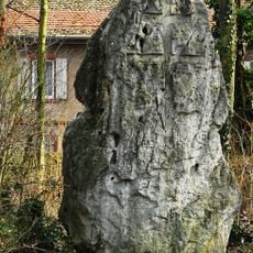
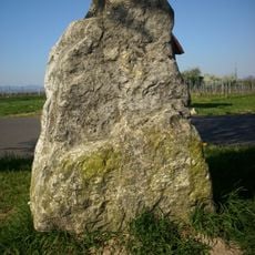
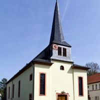
Trebur traces its roots to medieval times, with its position on the Main River historically supporting trade and regional connections. The municipality developed over centuries as a rural farming settlement rooted in agricultural traditions.
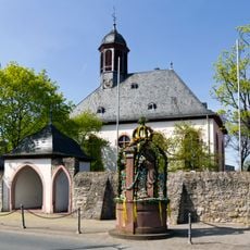
With several village sections, visiting each district separately helps you experience the different local characters and atmospheres. Proximity to the Main River offers opportunities for waterside walks and nature observation along the river.
The community of curious travelers
AroundUs brings together thousands of curated places, local tips, and hidden gems, enriched daily by 60,000 contributors worldwide.