Wingst, Hill chain in Cuxhaven, Germany.
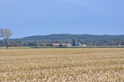
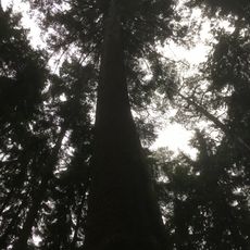
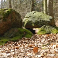
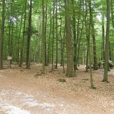
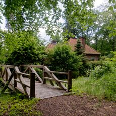
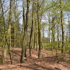
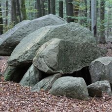
Wingst is a hill chain in northern Lower Saxony with forests, moors, and heathlands spread across its terrain. The mix of different landscape types creates varied views and walking conditions as you move through the area.
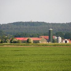
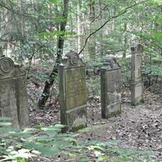
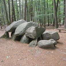
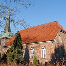
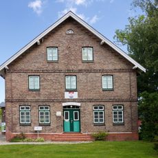
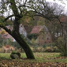
The area served as an important reference point for people in the region who used the hills for direction and settlement patterns. Over centuries, communities and paths developed around these landscape features as people adapted to living in this terrain.
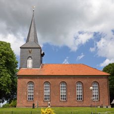
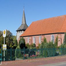
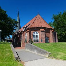
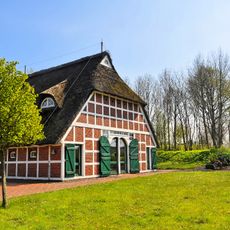
The communities around these hills have long adapted their way of life to the mix of forests and open spaces found throughout the area. Today visitors experience places where farming practices and natural features have developed together over many generations.
Well-marked hiking trails run through different parts of the hill chain and suit various walking levels. Wear sturdy footwear and be careful during wet weather, as moors and heathlands can become slippery and boggy.
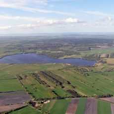
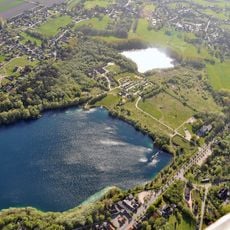
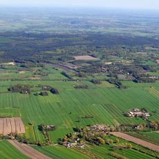
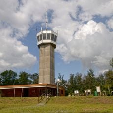
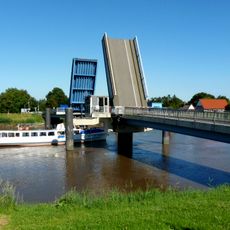
From the observation point at the highest elevation, visitors can see views stretching toward the Elbe River, which feels particularly expansive on clear days. This vantage point shows how close the hills sit to the river and reveals how the landscape opens toward the north.
The community of curious travelers
AroundUs brings together thousands of curated places, local tips, and hidden gems, enriched daily by 60,000 contributors worldwide.