Deutscher Olymp, Mountain summit in Cuxhaven district, Germany
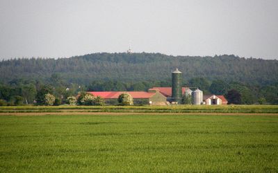
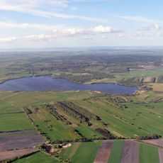
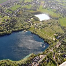
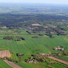
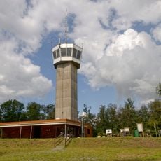
Deutscher Olymp is the highest point of the Wingst ridge in the Cuxhaven district of Lower Saxony. An observation tower with glass panels stands at the top, looking out over the flat North German lowlands and the surrounding waterways.
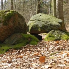
The Wingst ridge was formed during the Ice Age as a moraine and stood out as one of the few elevated points in this flat region. In 1852, a local innkeeper renamed the summit from Fahlenberg to its current name, giving it a grander identity that stuck.
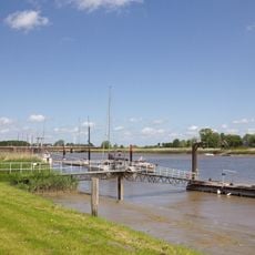
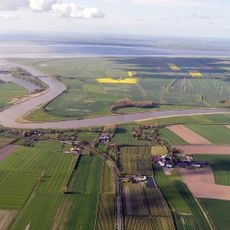
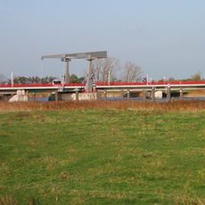
The name "Deutscher Olymp" translates directly as "German Olympus," borrowing from the ancient Greek mountain home of the gods. Standing at the top, visitors can watch barges and container ships moving slowly across the flat land toward the Elbe.
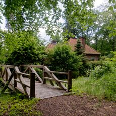
The summit is reachable on foot from several nearby villages along walking trails that cross the surrounding wooded area. The tower is open during the day, and clear weather gives the best view over the Elbe and the coastal plain.
On clear days, visitors can spot the Brunsbüttel nuclear power station across the Elbe from the top of the tower, making it one of the few hilltops in northern Germany where an industrial skyline appears in the distance. The current tower was built in 1974, replacing an earlier wooden structure that had stood on the hill for decades.
The community of curious travelers
AroundUs brings together thousands of curated places, local tips, and hidden gems, enriched daily by 60,000 contributors worldwide.