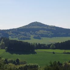
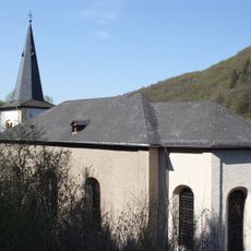
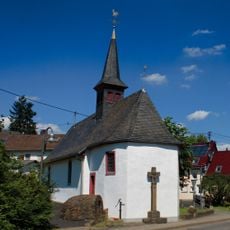
Raßberg, Mountain summit in Rhineland-Palatinate, Germany.
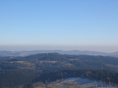
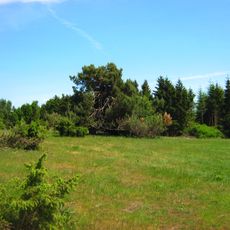
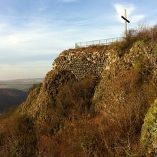
Raßberg is a mountain summit in the Eastern Eifel near the German-Belgian border, rising to 668 meters above sea level. The peak sits within a protected natural reserve characterized by juniper heath vegetation.
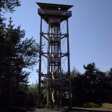
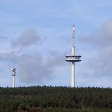
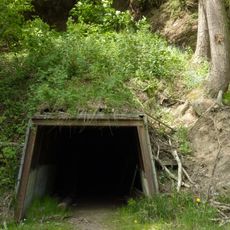
The mountain once held a military communications station operated by the United States Air Force as an unmanned relay facility. The station was eventually decommissioned, though a steel lattice mast remains at the summit.
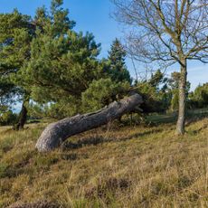
The juniper heath surrounding the mountain is a protected landscape that reflects traditional land management of the Eastern Eifel. Visitors encounter open grasslands with low vegetation that shape the character of the region.
The summit is accessible via hiking trails, including the Juniper Trail which stretches about 15 kilometers through the protected landscape. The paths cross relatively open terrain, so visitors should be prepared for exposed weather and wear sturdy footwear.
The peak ranks as the third highest among 167 summits in the Mayen-Koblenz district, a ranking that draws hiking enthusiasts looking to complete collections. This standing gives it particular appeal for those interested in bagging local peaks.
The community of curious travelers
AroundUs brings together thousands of curated places, local tips, and hidden gems, enriched daily by 60,000 contributors worldwide.